Experience Patagonia - El Chalten, Nature Pure
የታተመ: 18.05.2017
ለጋዜጣ ይመዝገቡ
Upon arrival in El Chalten, everyone was greeted and instructed by the Park Ranger: Either use the toilet or dig a small hole like an animal, pee in it, and then bury it. And toilet paper is taken home!! :D
But for that, you can drink from the rivers here ;)
When we arrived at the Bus Terminal and inquired about the buses for our onward journey to Bariloche, we were almost 'blown away' - 2600 Pesos (150€)! We had to digest that first. Our alternative now is to go back to El Calafate and fly from there to Buenos Aires, because the bus from Bariloche to Buenos Aires also costs over 100€ and the flight ultimately costs 250€. We may see a little less, but we save 40 hours of bus travel and money in Argentina, traveling here is definitely not cheap! So, on the 18th, we are heading to Buenos Aires.
In El Chalten, we have chosen the second day for hiking. In the morning, the weather looked good, cloudy but it cleared up the day before. We started at 10 am and walked to the other end of the town, where the hiking trail to Lago de los tres begins, which we wanted to walk to. It's 10km from the outskirts of the town to the top of the mountain. Everyone always said the first 3 hours are relaxed and only the last hour is tough. When we had the first kilometer behind us in almost 30 minutes (there is a sign after every kilometer), we thought: If this is the easy part, we don't want to know what the last part looks like.
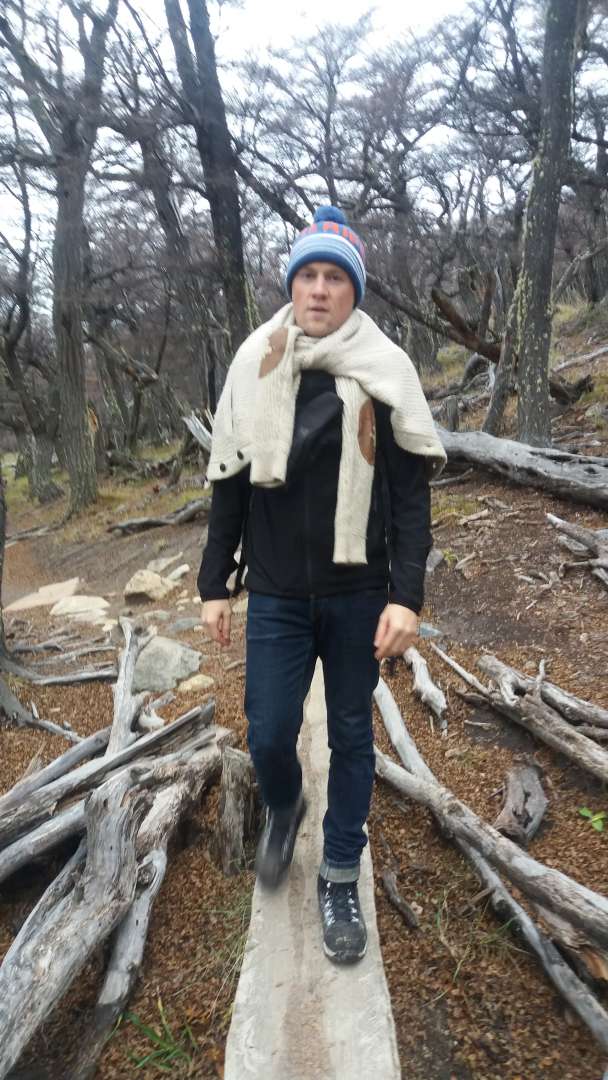
But after the next kilometer, it got much easier and the path went straight or downhill (we were less pleased with the latter, after all, we have to climb up all of it again, as we had to overcome a total of 750 meters of altitude until the end).
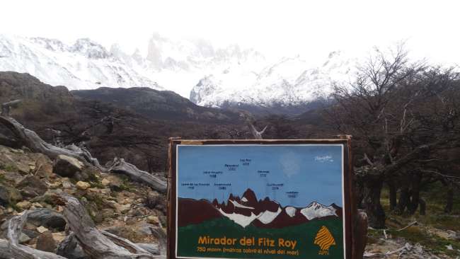
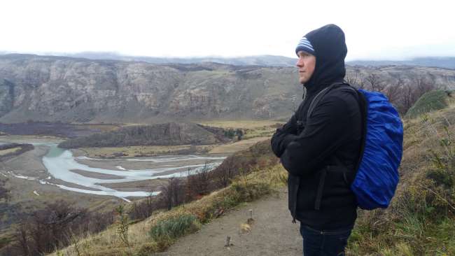
We reached the first 350 meters of altitude at the 'Mirador' - the viewpoint.

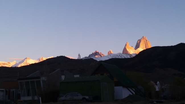
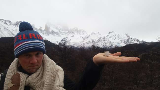
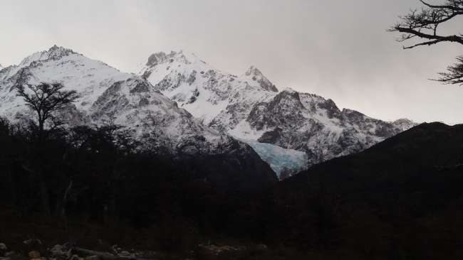
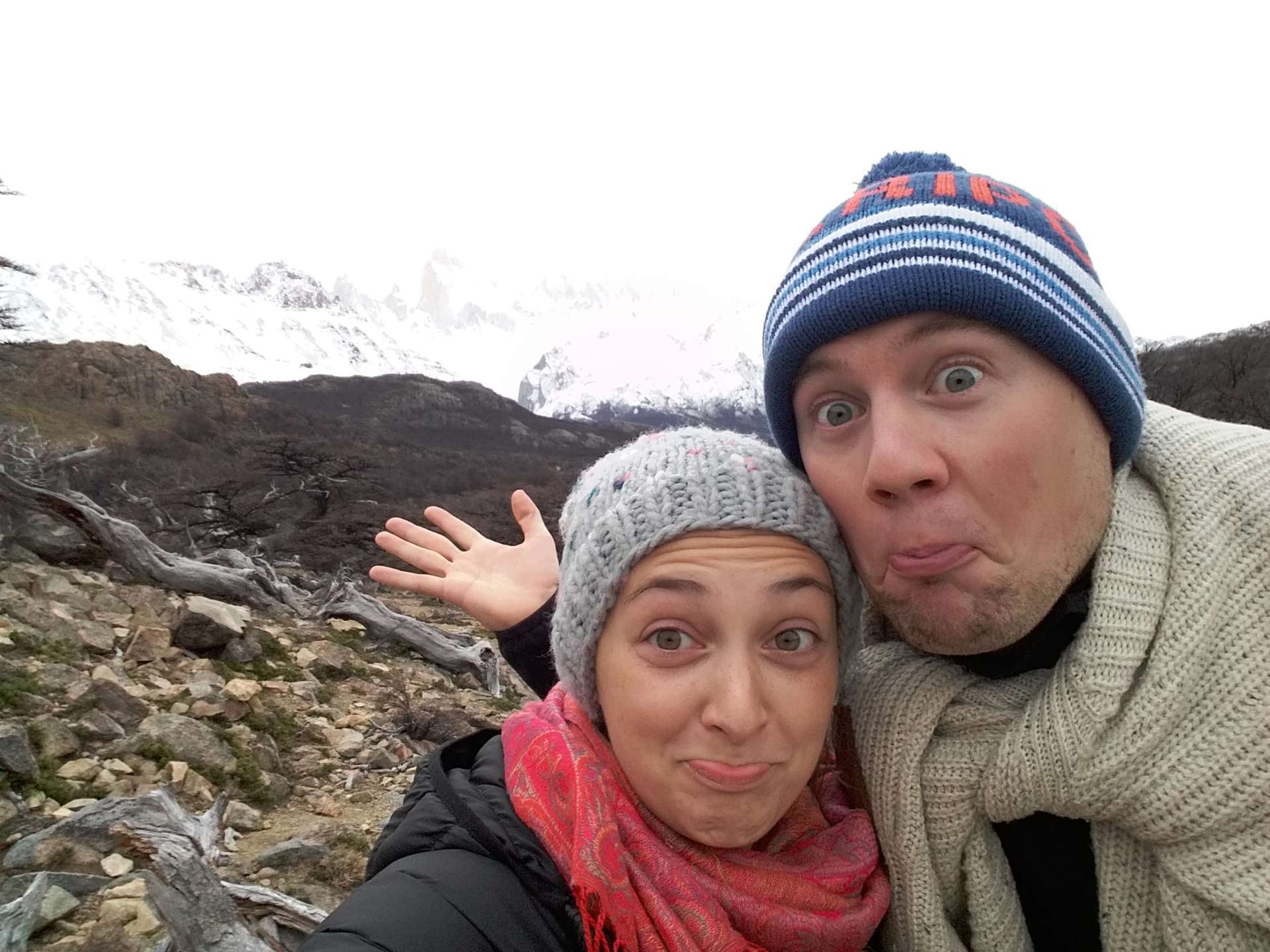
Unfortunately, the mountains and Fitz Roy (the highest mountain in El Chalten) were not very visible, as the clouds were still in the way.
Then it went downhill again (we were slightly annoyed, as we had to climb up everything again and feared that all 750 meters of altitude would come in the last hour).
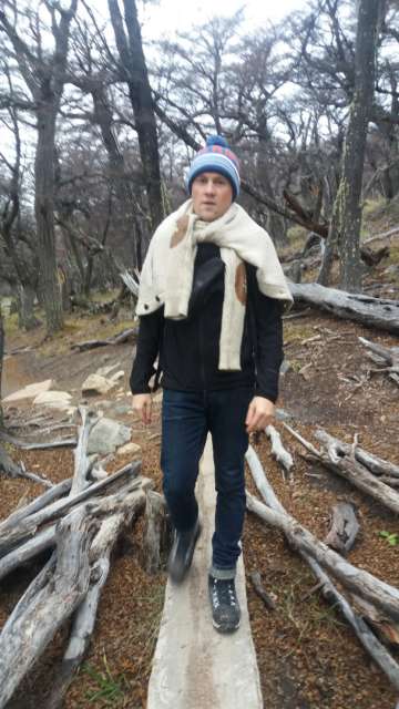
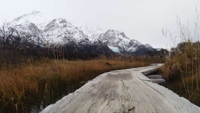
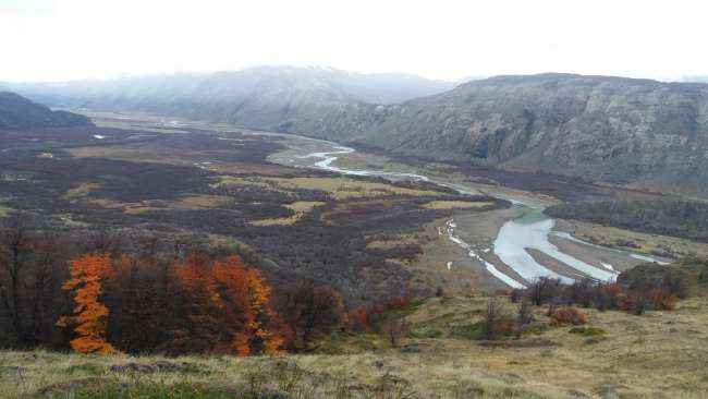
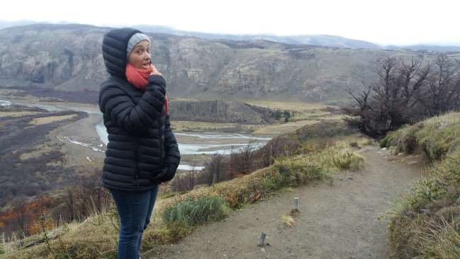
On the way, we had nice views of the glaciers and crossed a few forests, passed the 'campground' (toilet and a campground sign), and crossed a few swinging wooden bridges.
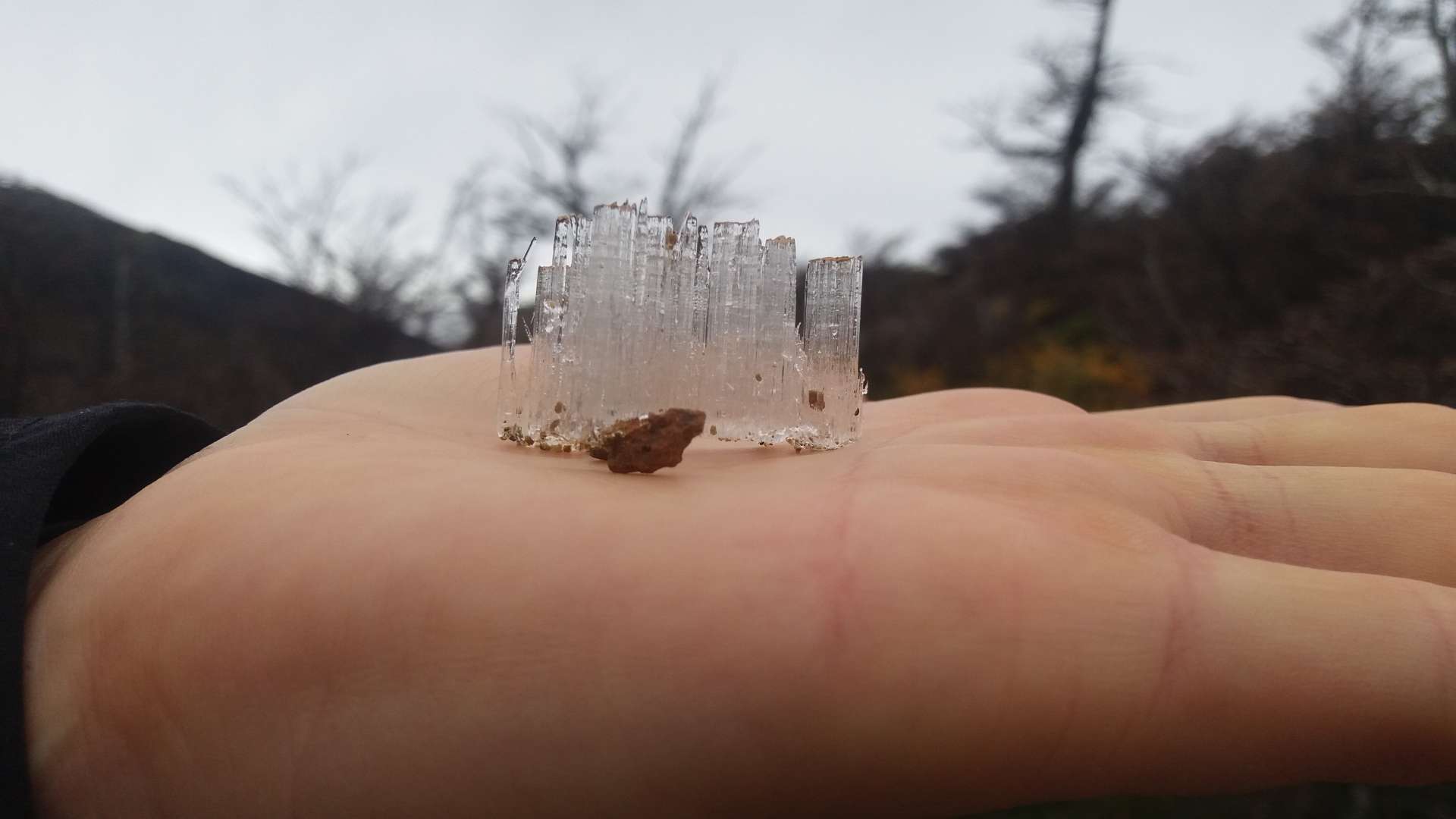
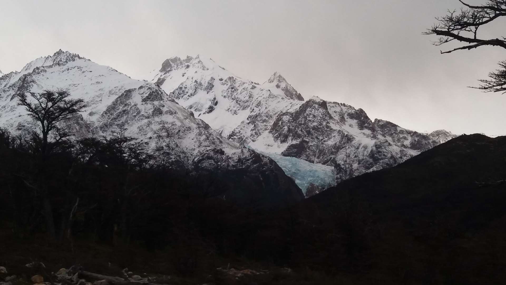
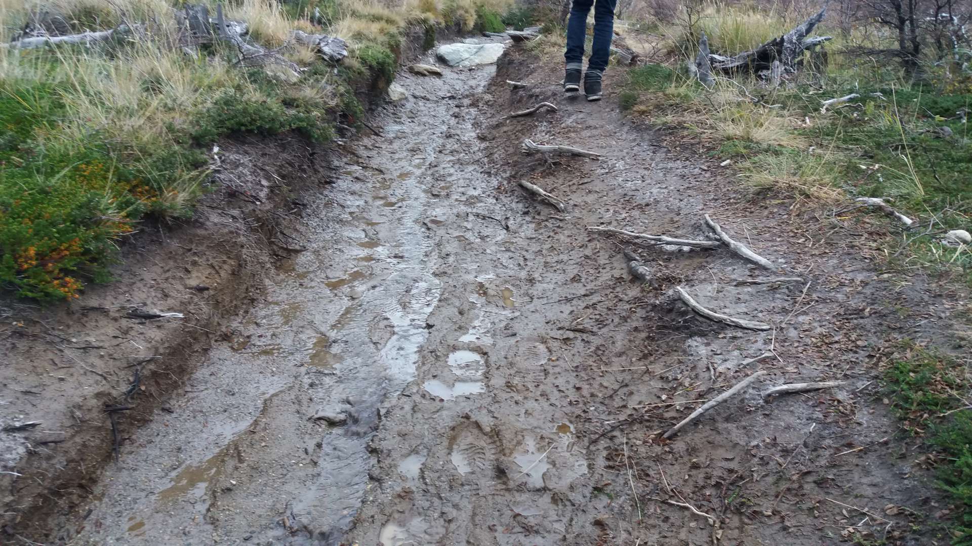

After 9km, we saw the sign for the last kilometer --> From here, one more hour...
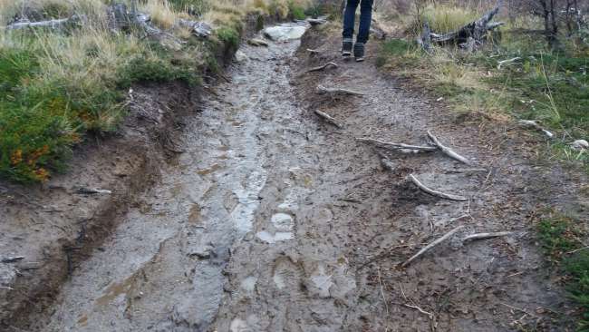
Great! So, we started walking. Getting slowly hungry... it was already 1 pm. Initially, it was similar to the first two kilometers, and then we reached the snowline. From there, it got more and more difficult, as the path was icy and you had to be careful not to slip. Here we also met some people we had already seen at the glacier and had to hand over their drone.
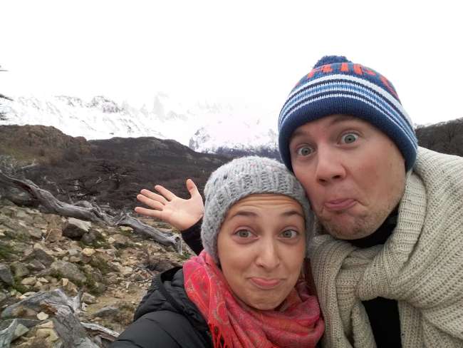
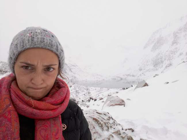
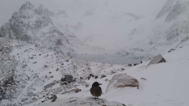
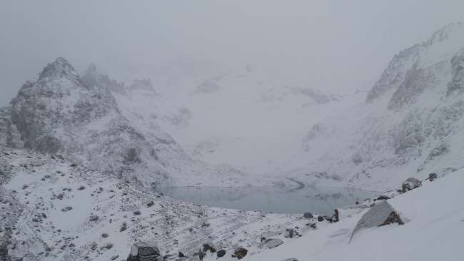
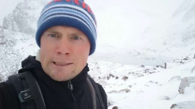
They said another 20 minutes from there. Since we had only been walking for 20 minutes, we were already excited, but as more and more snow came and it got steeper, or rather the stones on which you had to step up a 'step' became bigger, we could only continue on all fours. After another 40 minutes (so much for the 20 minutes), we finally reached the top. And as you can see, you can't see anything.
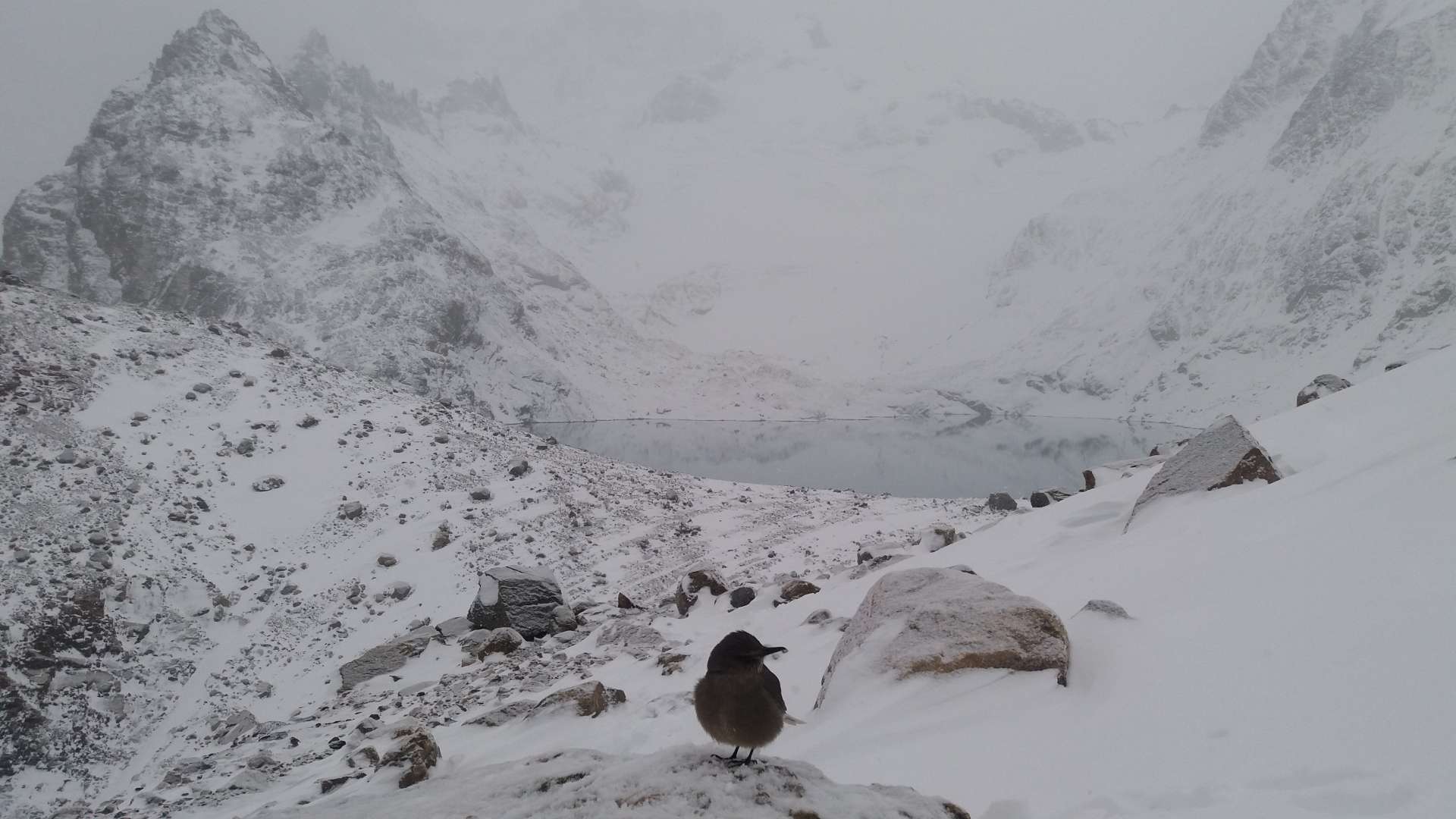

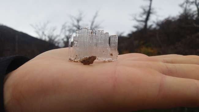
After a short rest and half-frozen spaghetti as a reward, we started the descent. For the first kilometer, it took us about as long as going up, as there was now a thin layer of snow above the layer of ice, so we couldn't see the ice immediately. Not only once did we sit down (or I did) on our backside. And then the legs hurt from all the steps, and soon especially the knees, we felt quite old :D and since the way back both went uphill and downhill, we couldn't even look forward to a comfortable descent. It was also snowing. So, we were very lucky with the hiking...

When we reached the town again, we had to walk through the whole of El Chalten - it seemed much shorter to us - and fell into bed at the hostel. We finally arrived at 6 pm.
The next day will be spent in the hostel, and the muscles will be spared.
Conclusion: 20km is definitely too much for us novices :D but we survived. And now we've had enough hiking for a while.
Next stop: Buenos Aires
(--> Montevideo; Iguazu)
ለጋዜጣ ይመዝገቡ
መልስ
የጉዞ ሪፖርቶች አርጀንቲና
