Volcanic Pages
የታተመ: 19.12.2016


ለጋዜጣ ይመዝገቡ
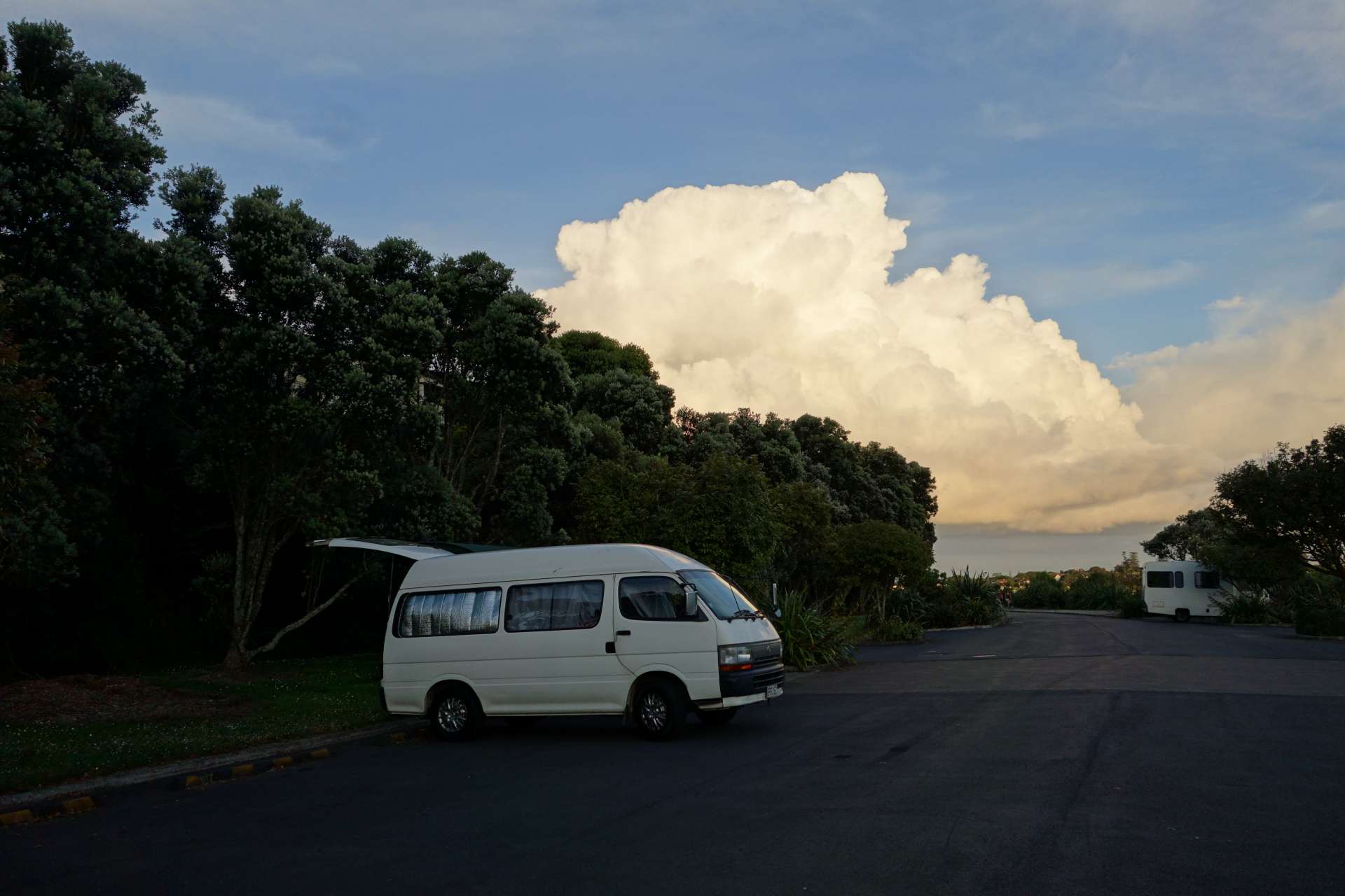
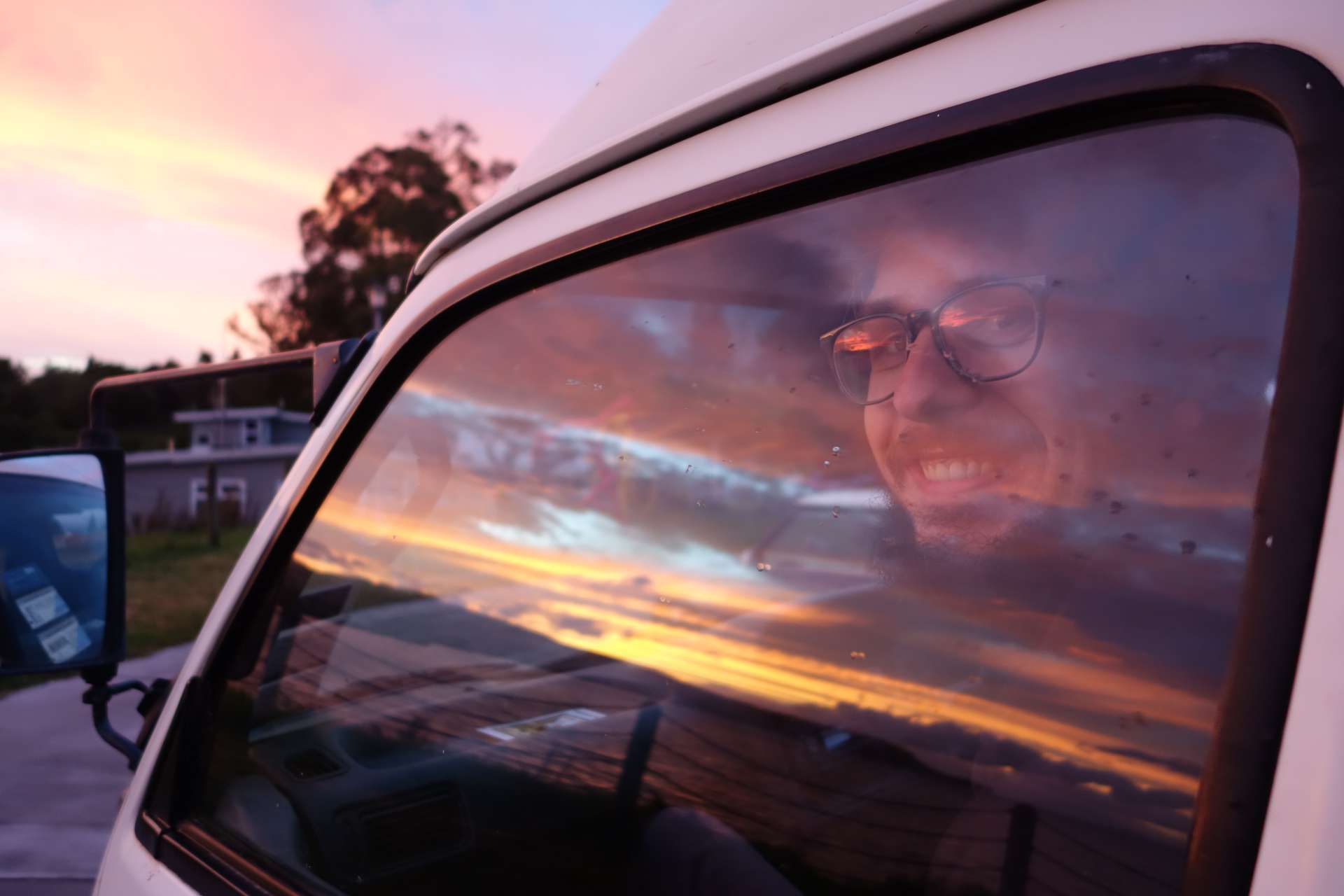
After expanding our car, it was nice to be 'on the road' again. Since our last post, we have covered quite a distance and have seen a lot.
+++++++++++ Auckland +++++++++++
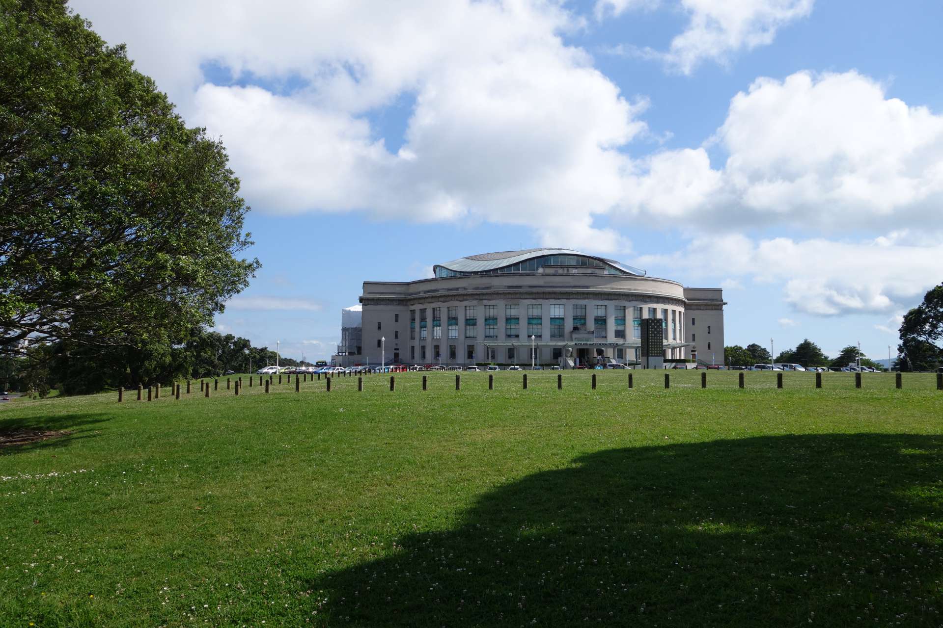
First, we spent a few days in Auckland and explored parts of the city. For example, we visited the Auckland Museum, which focuses on the social and geological history of New Zealand.
(Auckland Museum)
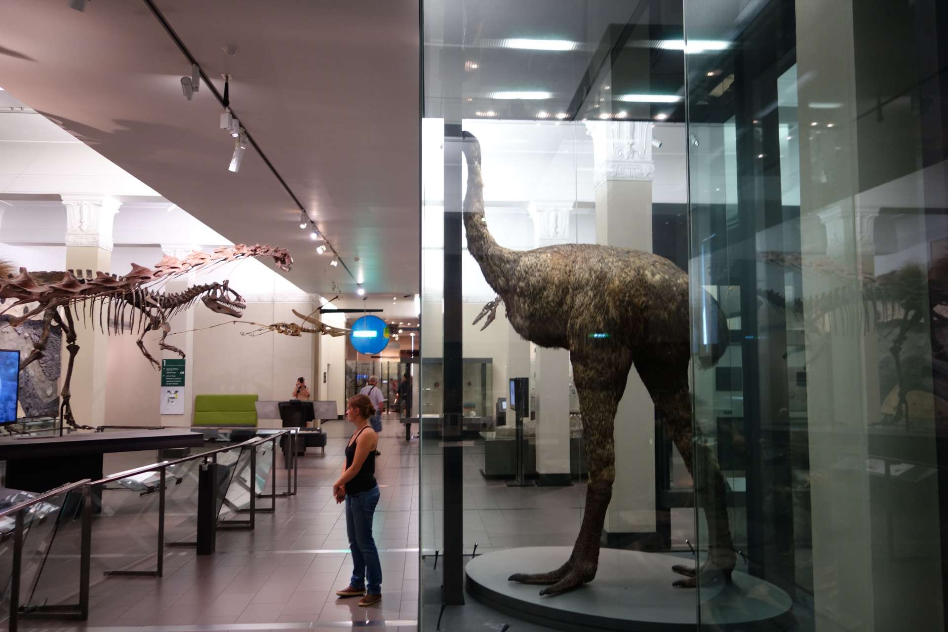
Anette in front of a Moa, a huge flightless bird - but it is extinct, the Maoris ate it.
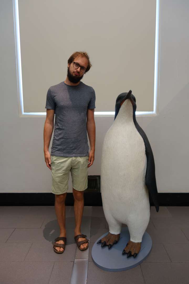
This one is also extinct - a giant penguin (whose name we no longer know)... but the left bird still exists.
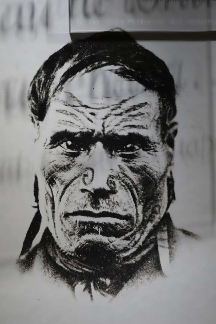
You learn a lot about the Oceanic cultures that first populated New Zealand. In short: People migrated further and further into the Pacific from the Southeast Asian island chains, and whenever it became crowded, there was a new wave of migration. New Zealand remained uninhabited for a long time because it is relatively far away from the nearest landmass/island group. Thus, it was one of the last uninhabited regions in the world! The connection between the Maoris and the other peoples of the Pacific can be seen especially in the similarity of language with the other Oceanic languages (in Hawaii, Fiji, Guinea..), which are all very similar.
A major theme in the museum: Volcanoes

Geologically, New Zealand, like the Indonesian islands, was formed by volcanoes. It is also still in a volcanic active area and is closely monitored at the most active sites. Auckland itself is located in a particularly active area and has come close to an eruption from time to time. Therefore, a whole part of the exhibition dealt with volcanoes and everything related to them. There was also a room with a simulation of an eruption in Auckland - with a news broadcast and a 'view from the living room window', shaking and power outage included:
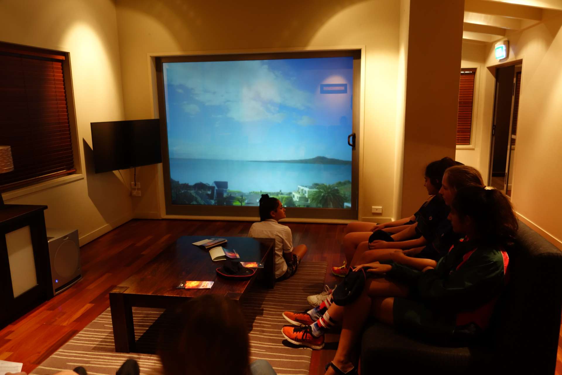
everything is still calm...

uh oh....
The last part of the museum focused on all the wars in which New Zealand soldiers had participated (after all, it was a British colony), from the world wars to the Boer wars to the conquest of New Zealand itself. We found this part of the exhibition to be too patriotic.
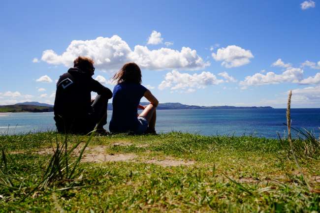
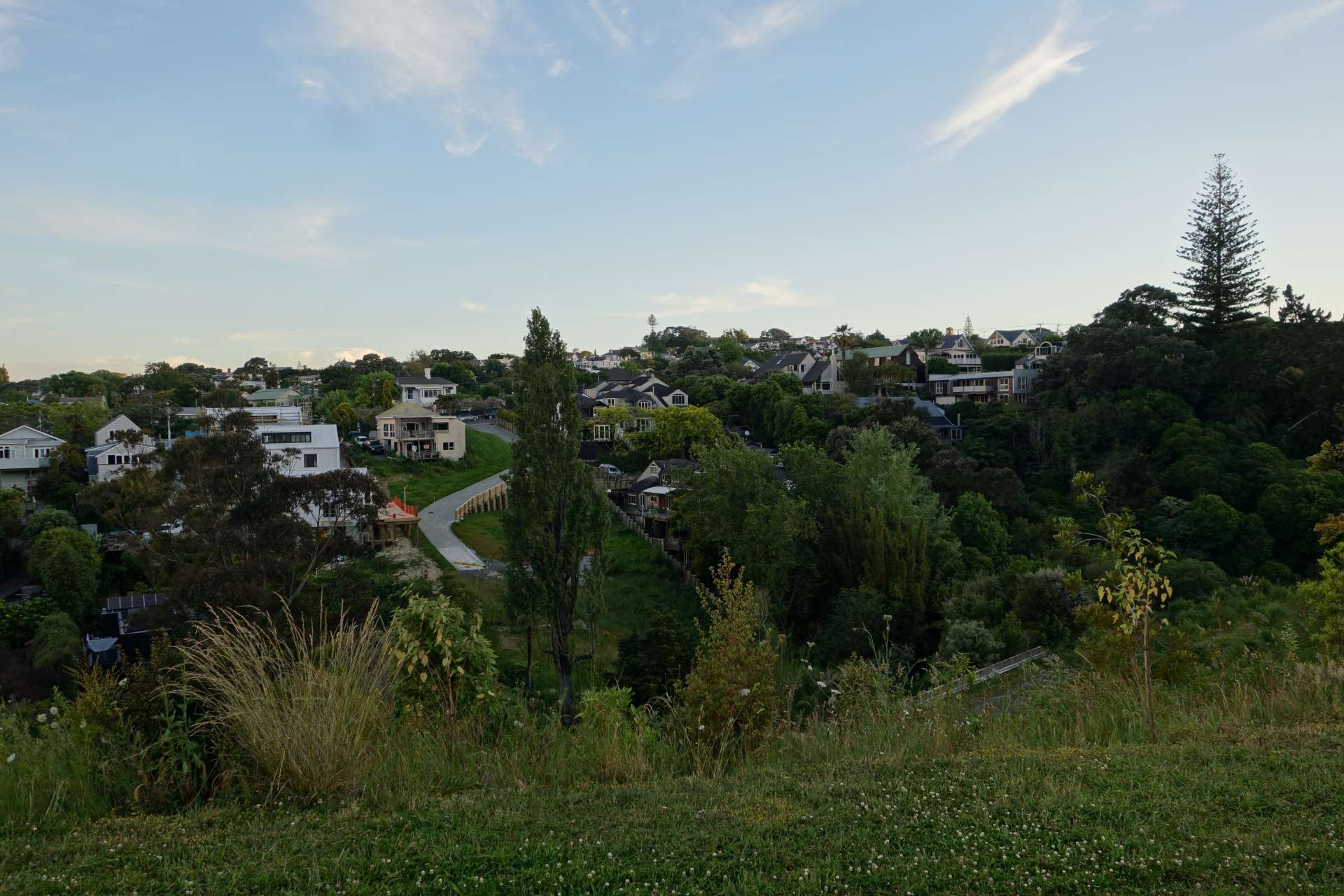
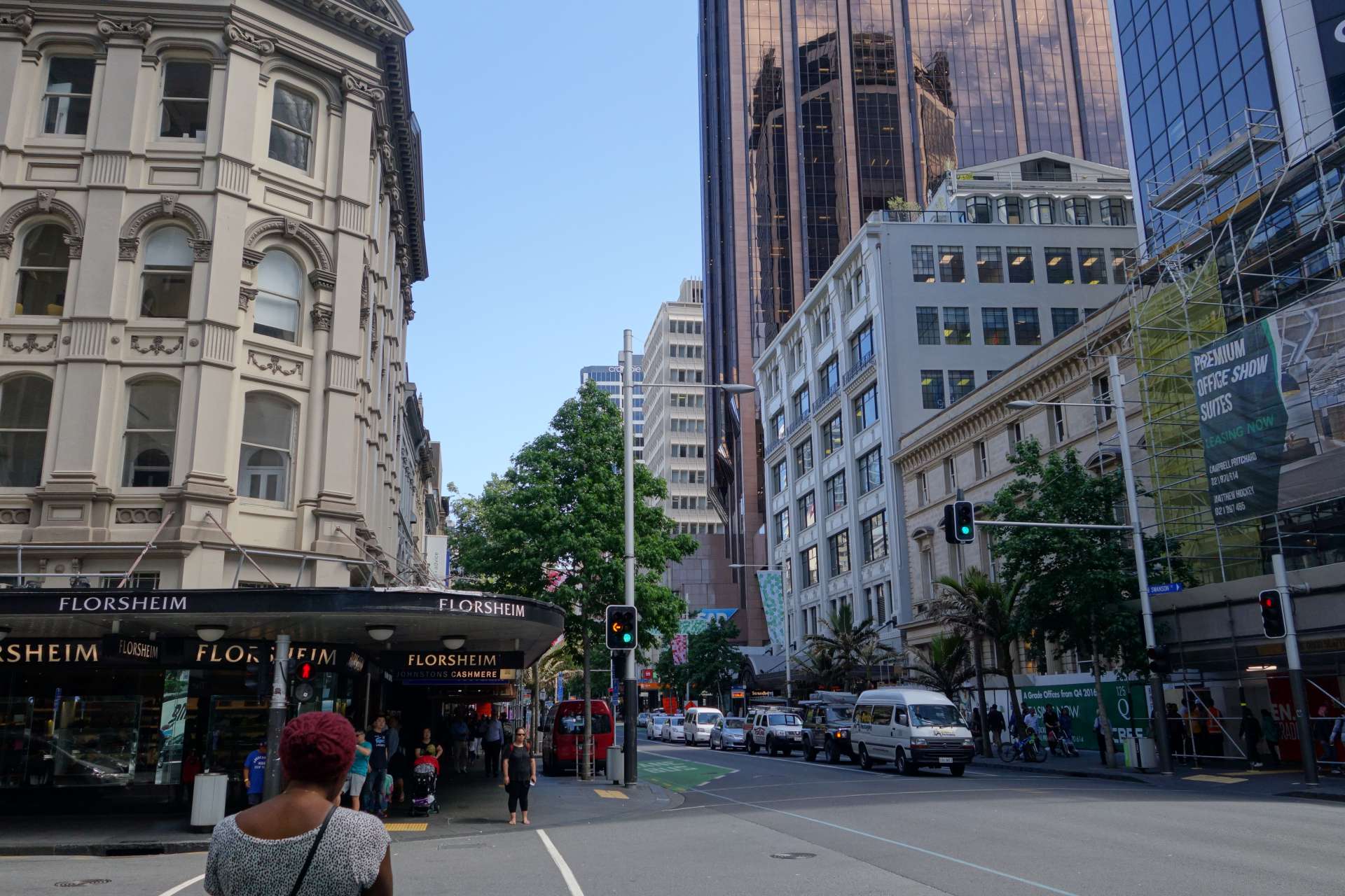
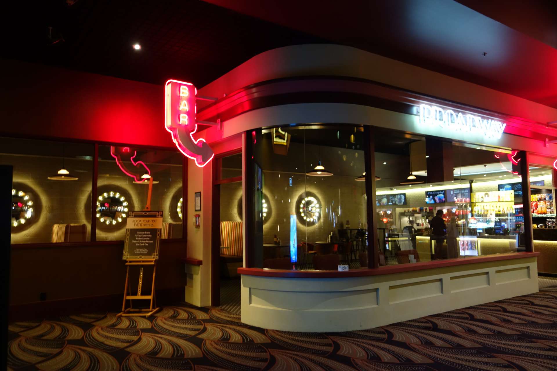
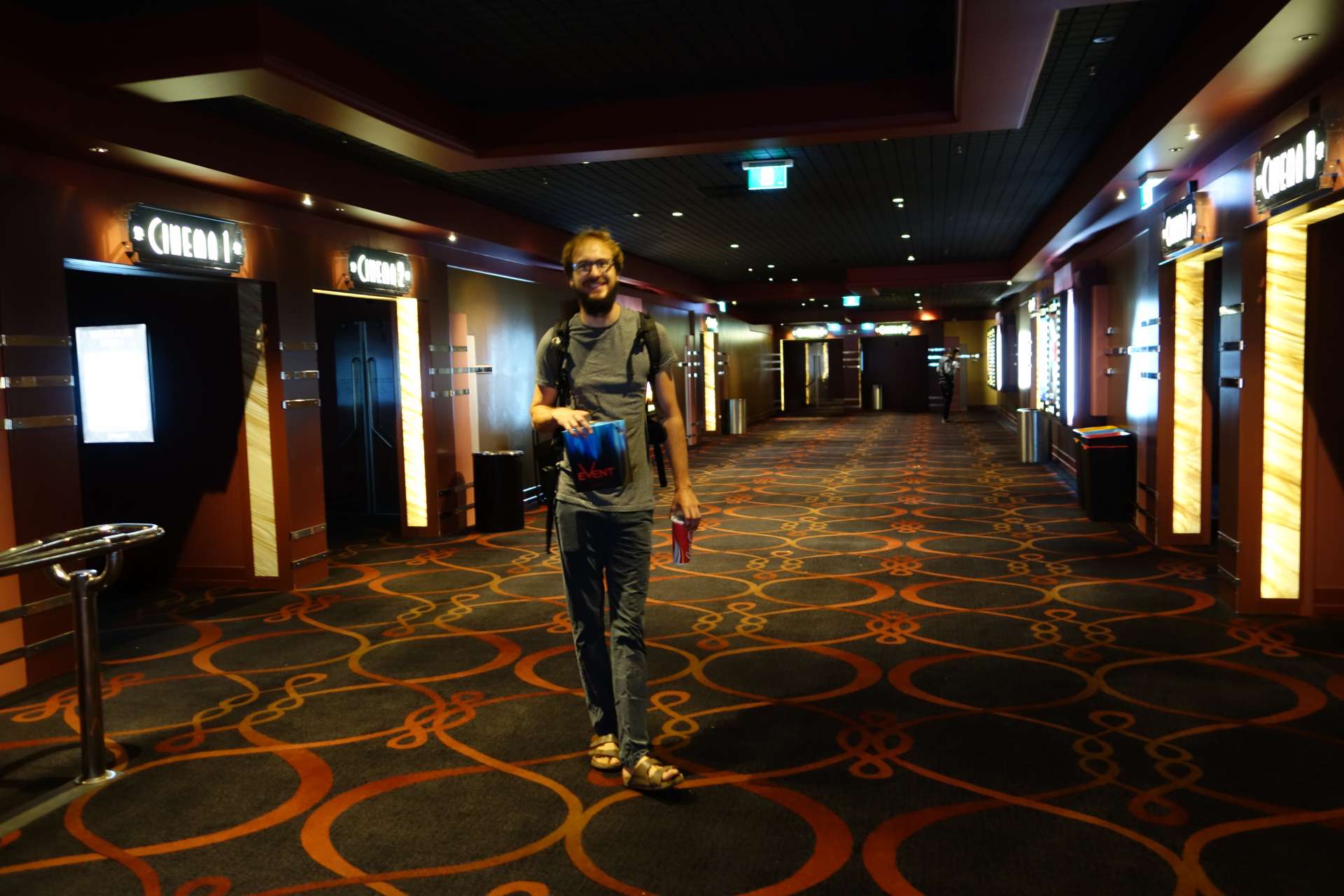
We also spent some time in the cinema and explored downtown Auckland:
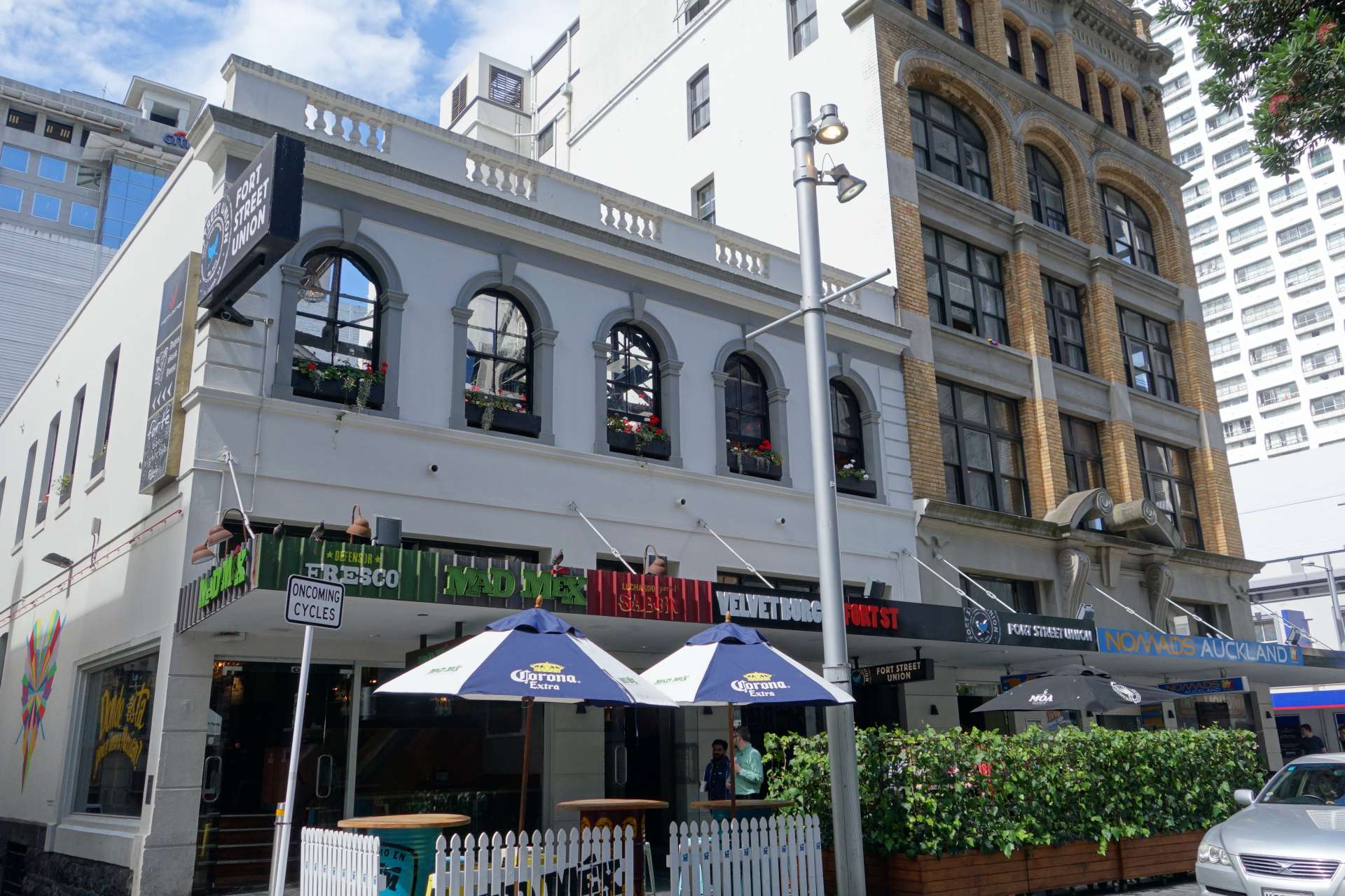
Not far from the park where we stayed in Auckland, there was a beautiful 'Broadway' cinema in the style of the 1950s:
We went to the cinema two nights in a row: 'Fantastic Beasts and where to find them' (Harry Potter-Fantasy) & 'Arrival' (Science fiction), both recommendable movies! By the way: Apparently, there is only salted popcorn in New Zealand.
+++++++++++ Rotorua - Lakes and Sulphur +++++++++++
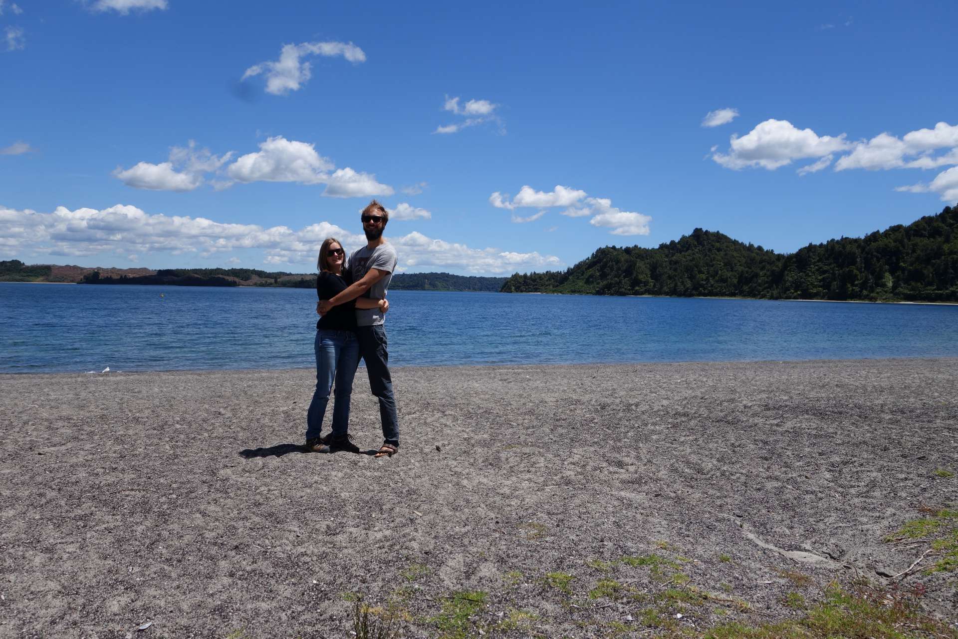
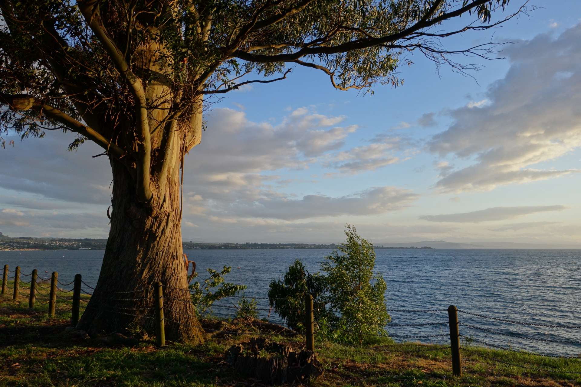
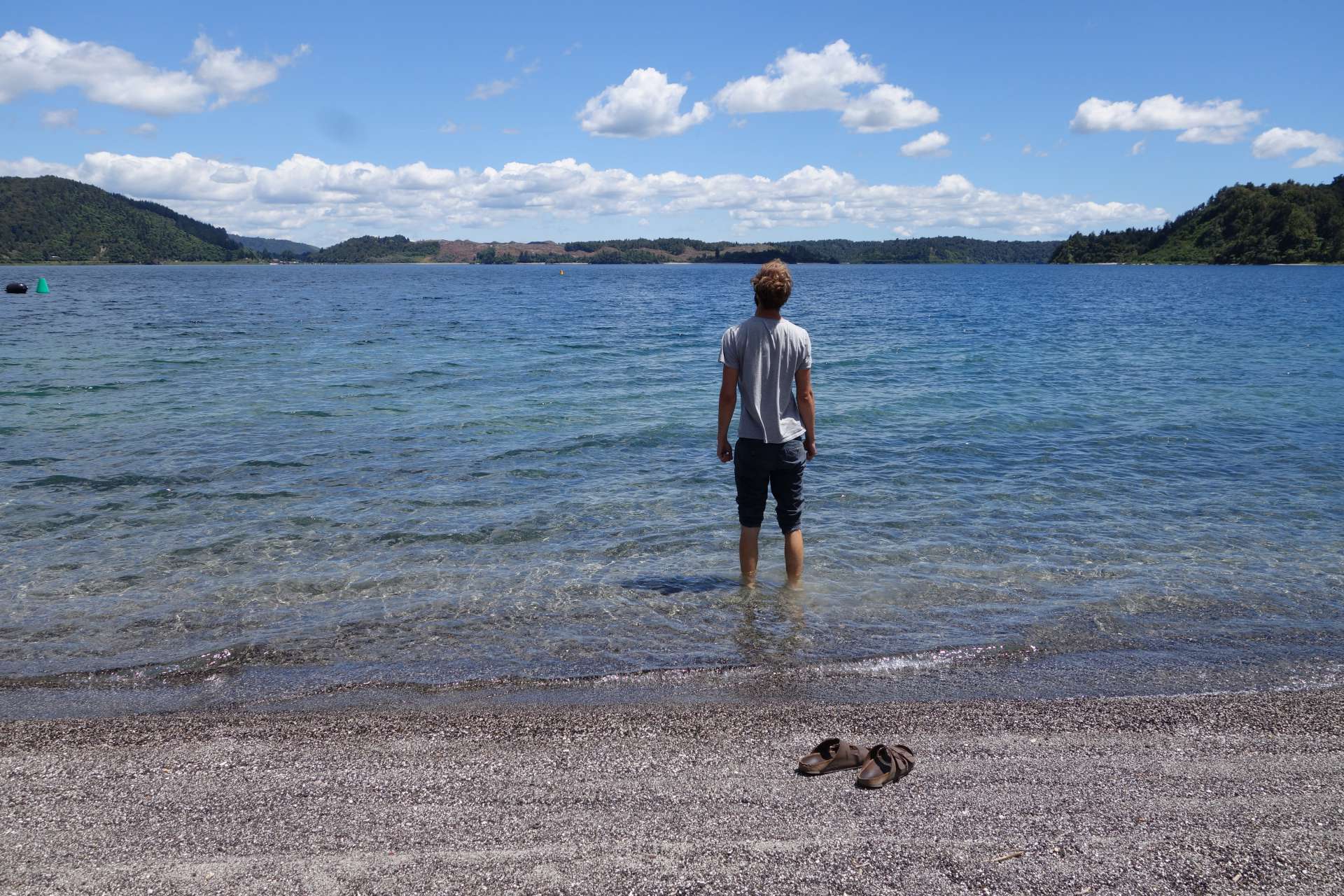
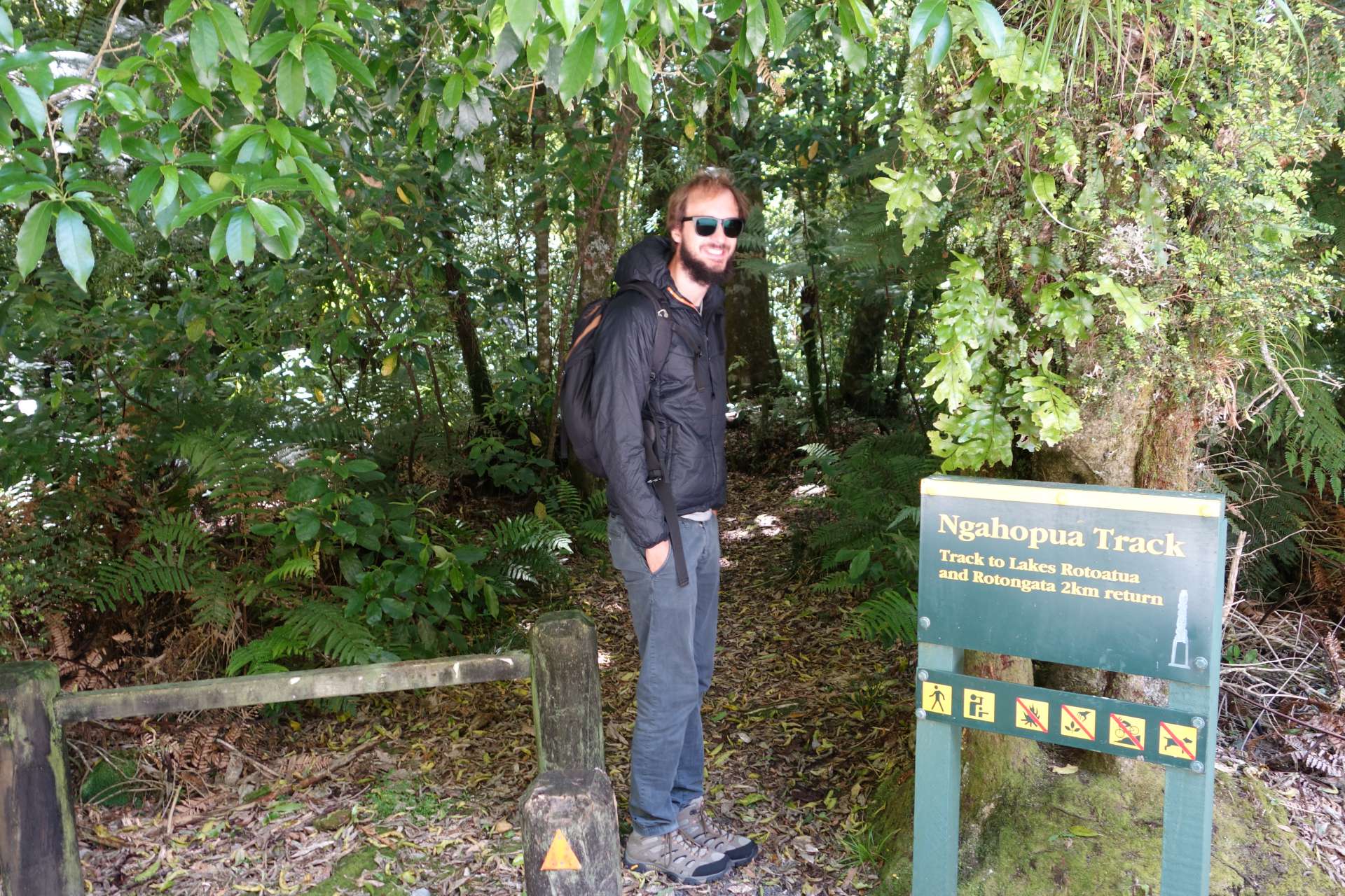
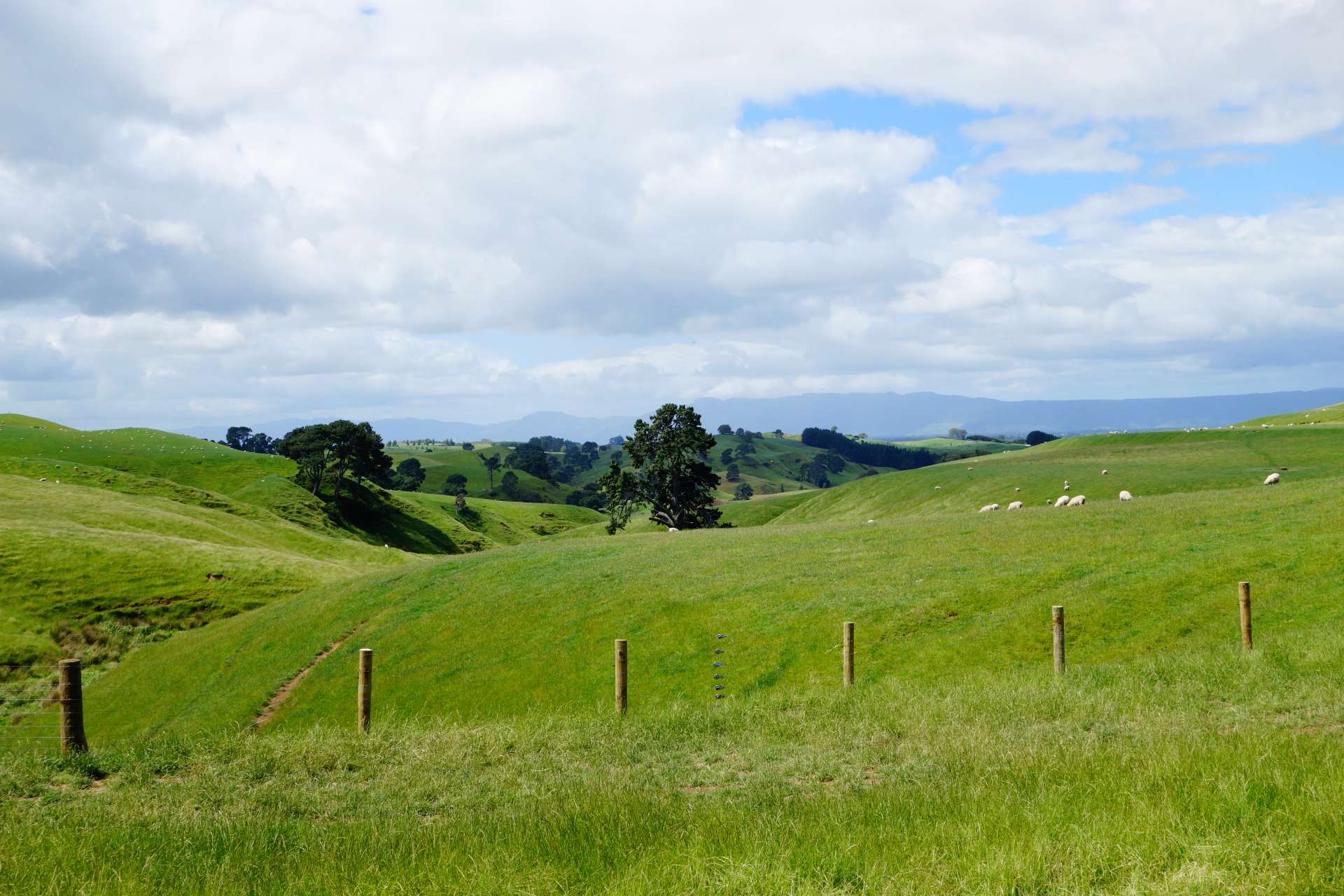
The volcanic origin of New Zealand can be seen in many places, such as Rotorua, a city surrounded by many crystal-clear lakes thanks to past volcanic activities:
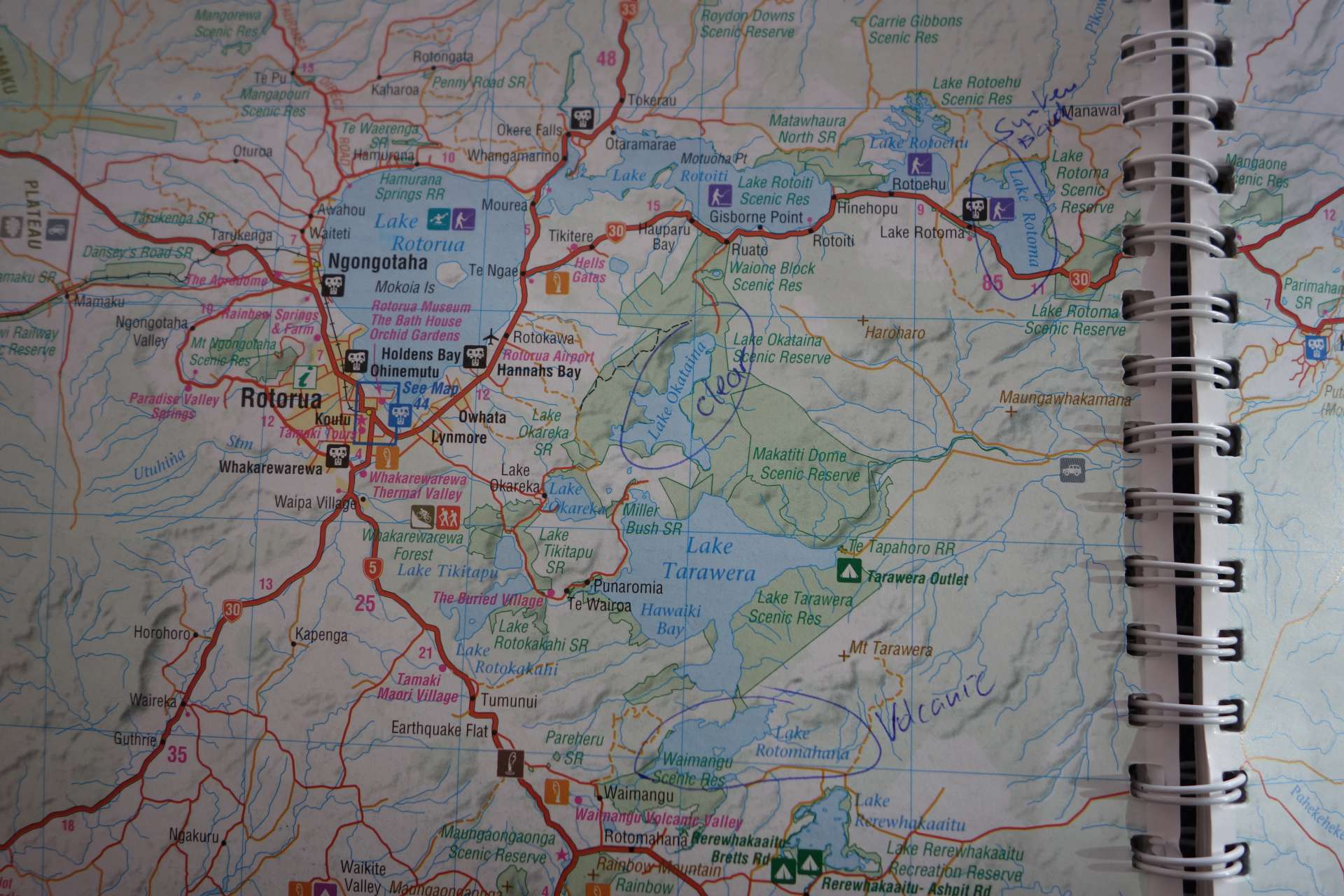
We visited a few of the 16 lakes in total. The water was definitely very clear! But it was still too cold for swimming.
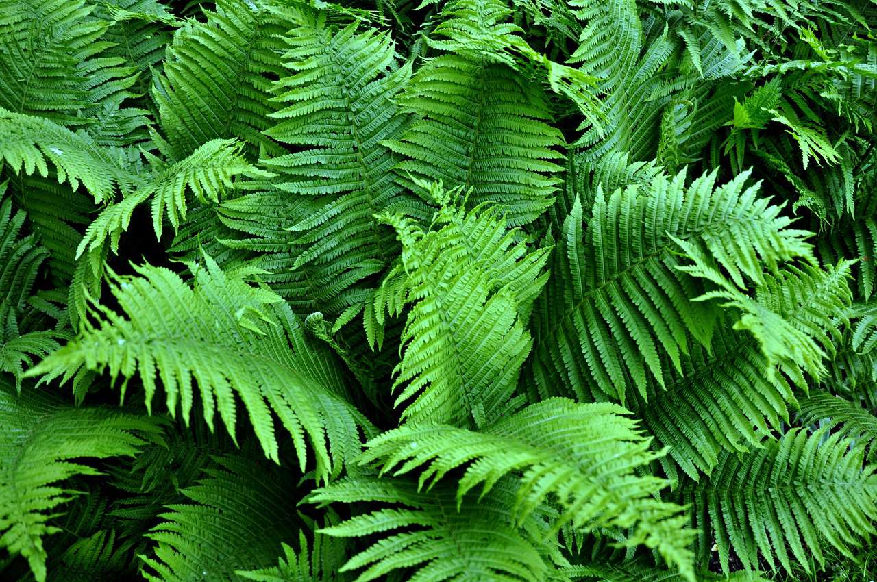
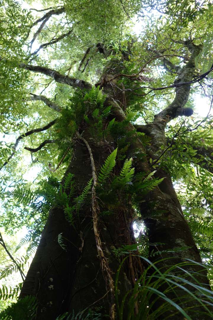
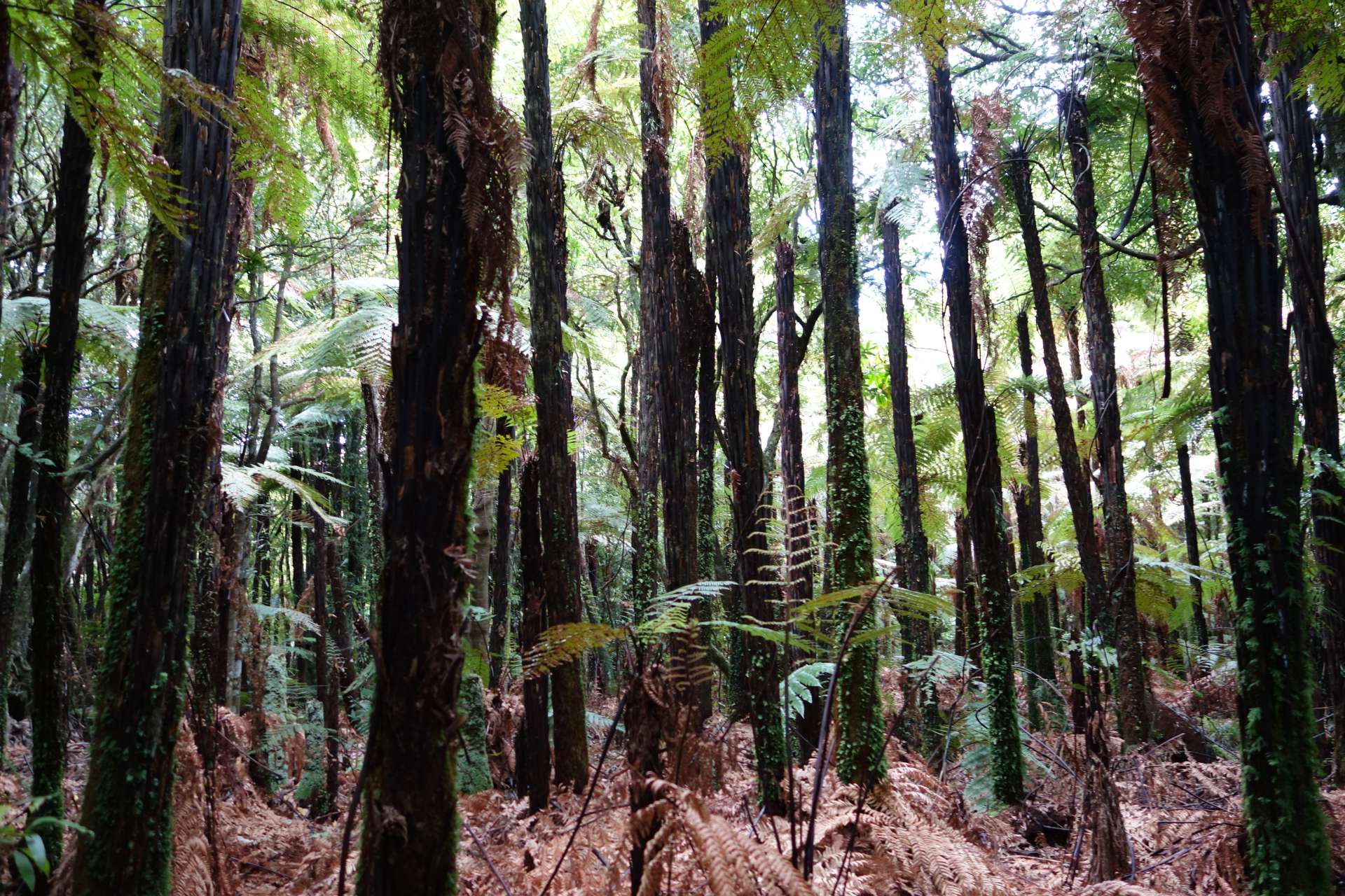
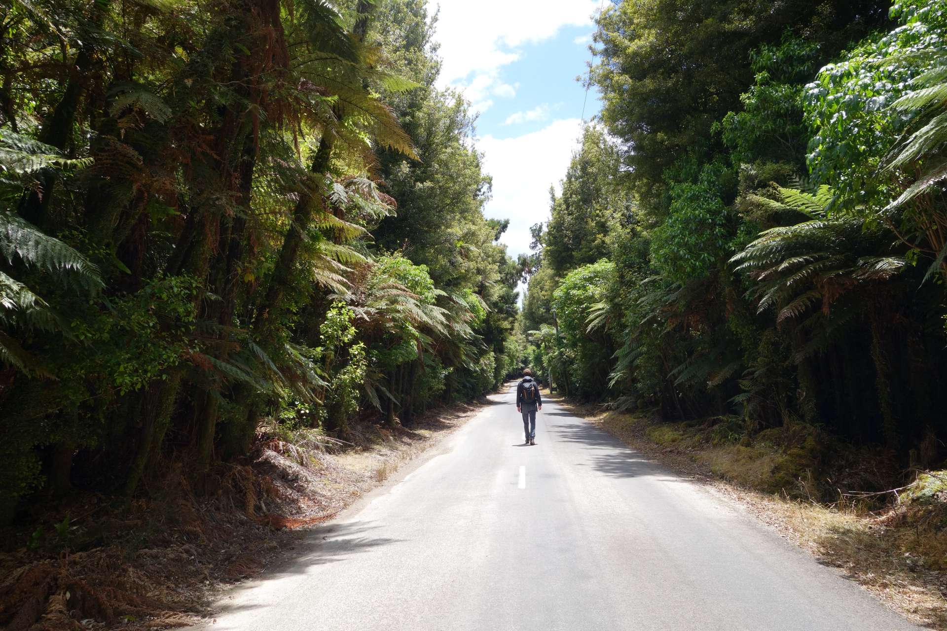
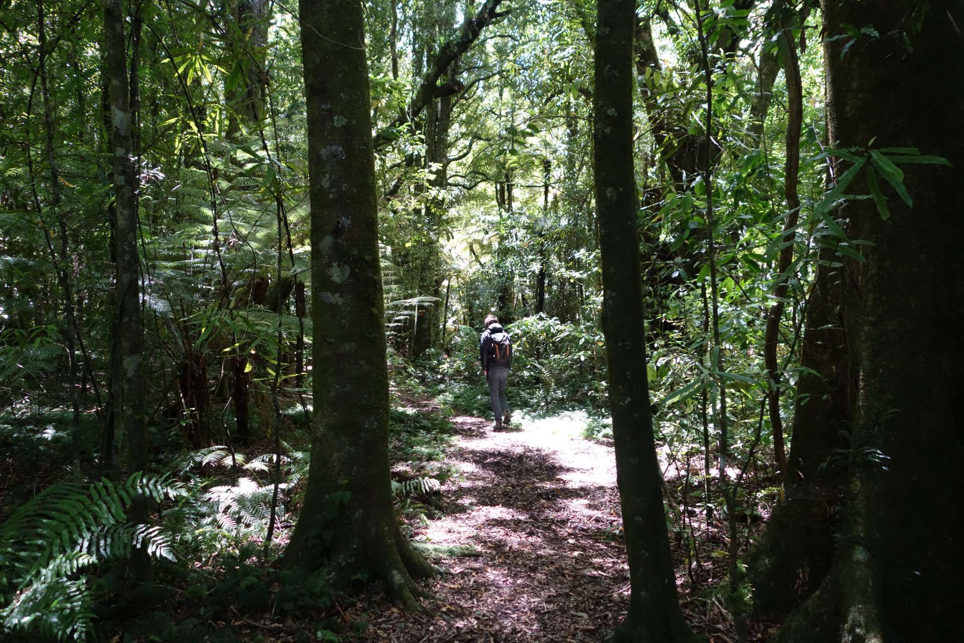
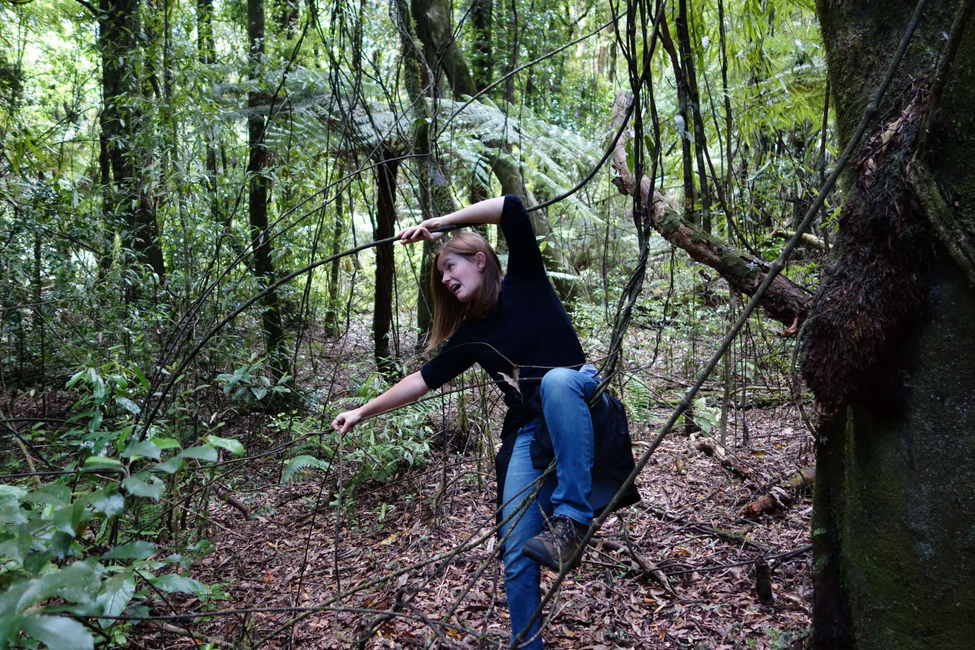
...and the forests around the lakes were beautiful as well:
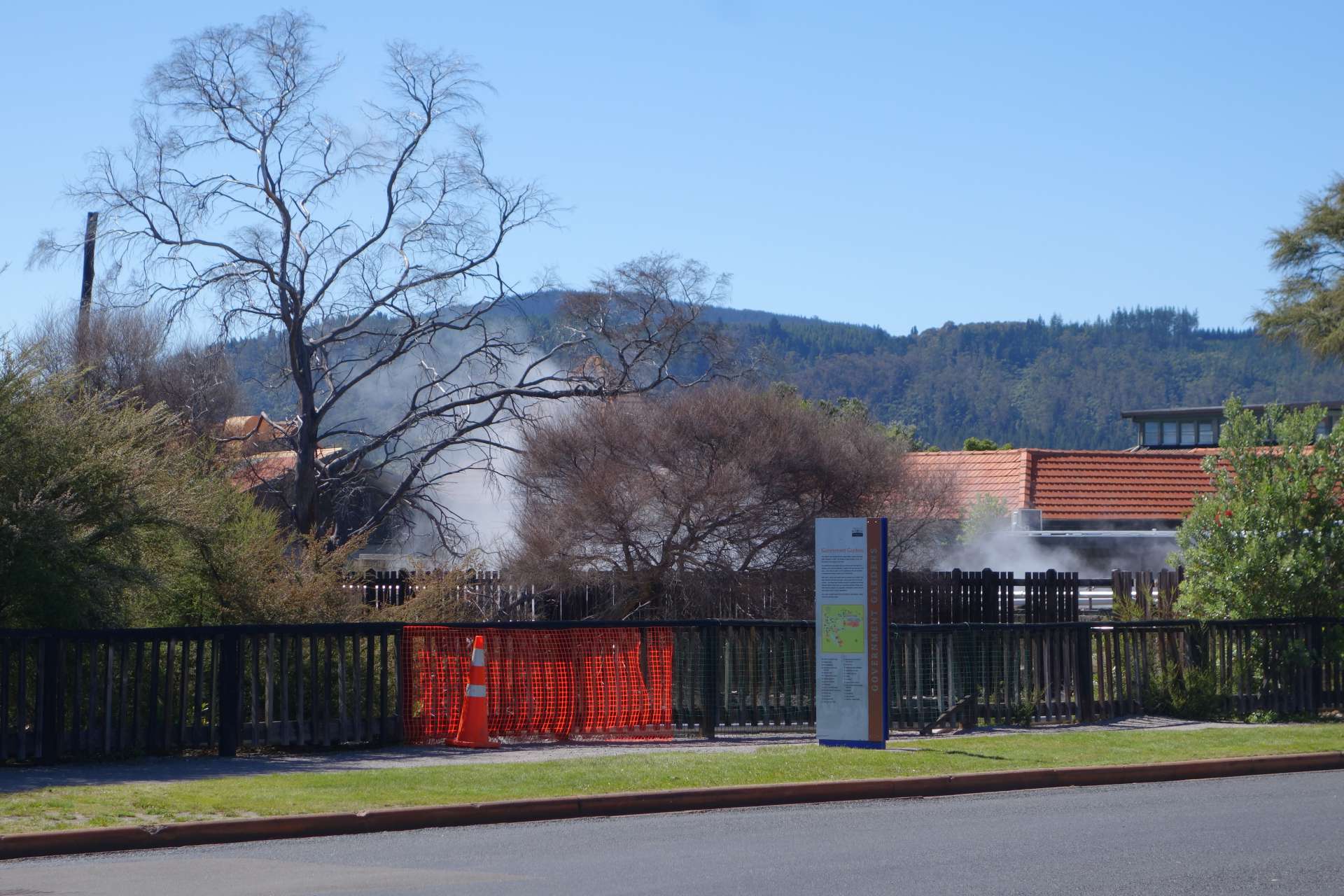
Another main attraction of Rotorua is the hot springs that still bubble up from the ground throughout the area. Thanks to the gases released, Rotorua is permeated with a foul smell of sulfur, which is why it is jokingly called 'Rottenrua' ('rotten').

This pond where we could have camped for free was too stinky for us. We are really not sensitive, but this level of intensity of sulfur was like in a portable toilet at a festival in midsummer after 7 days without a cleaning lady..!

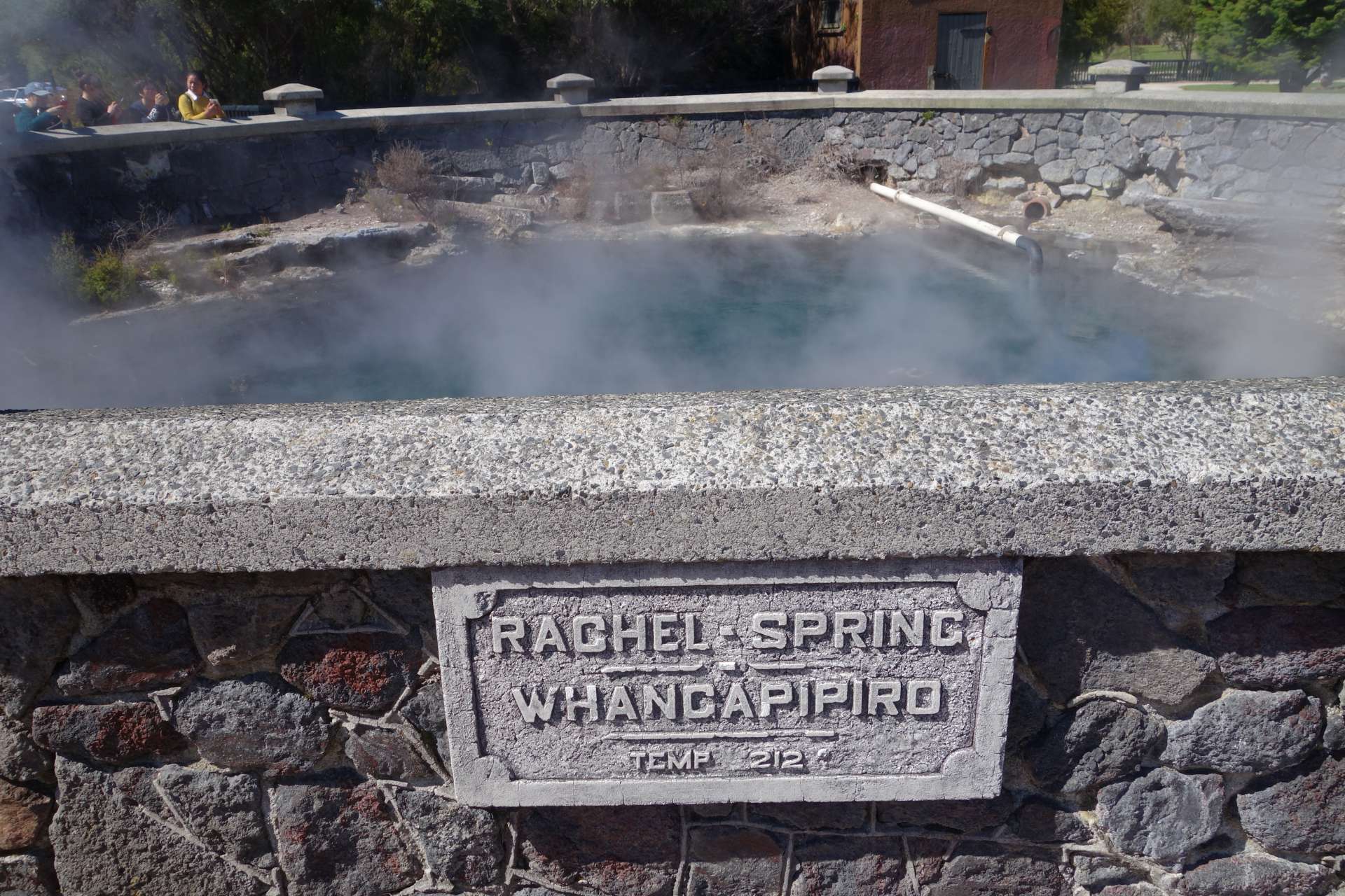
One of the main attractions of Rotorua are the hot thermal baths, which are a big hit with tourists who want to bathe in smelly, hot spring water.
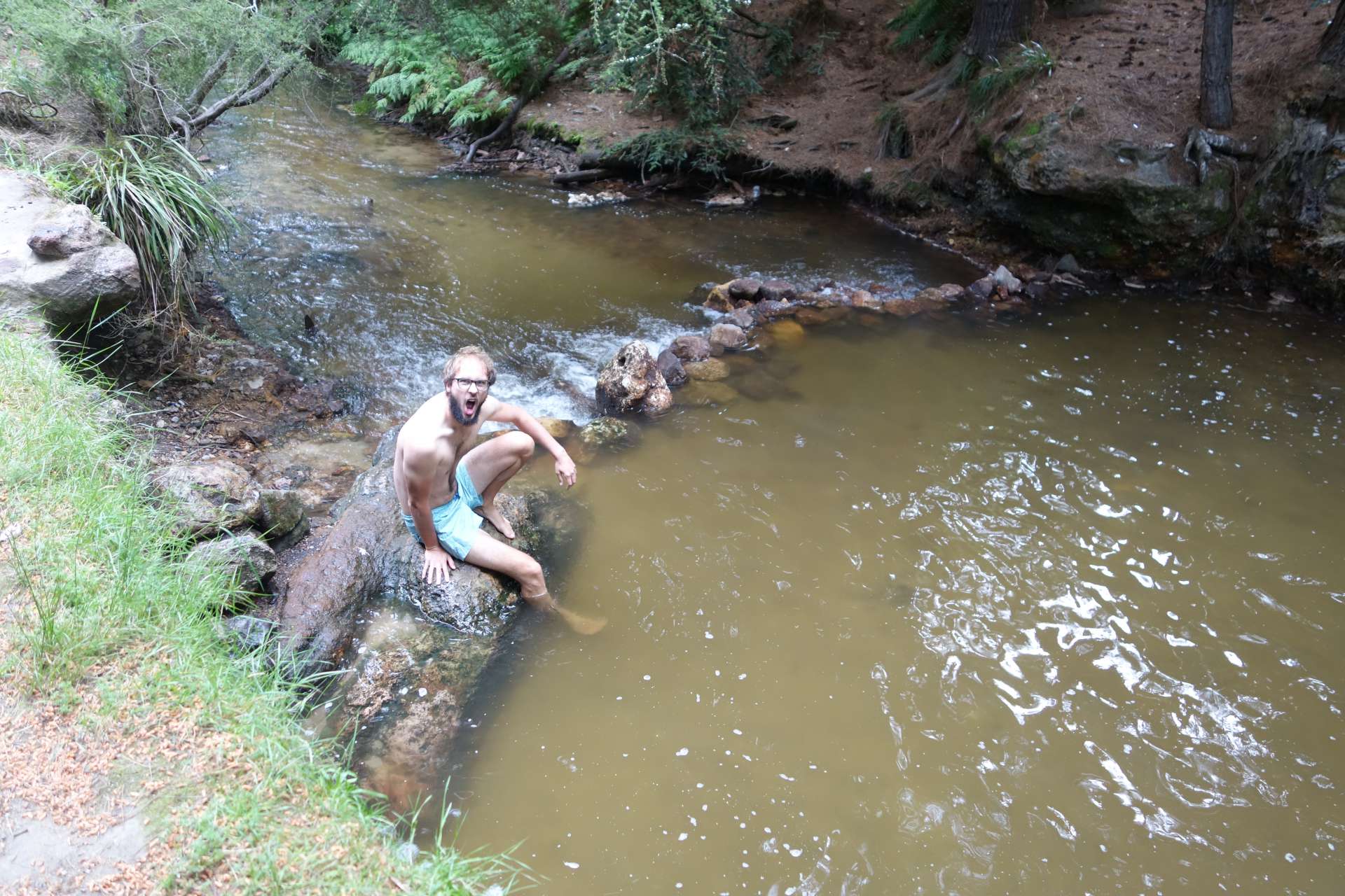
A few kilometers south of the city, we visited an undeveloped hot spring located in the forest.
Hannes' first reaction - for a change, not because the water was so cold but because it was hot!
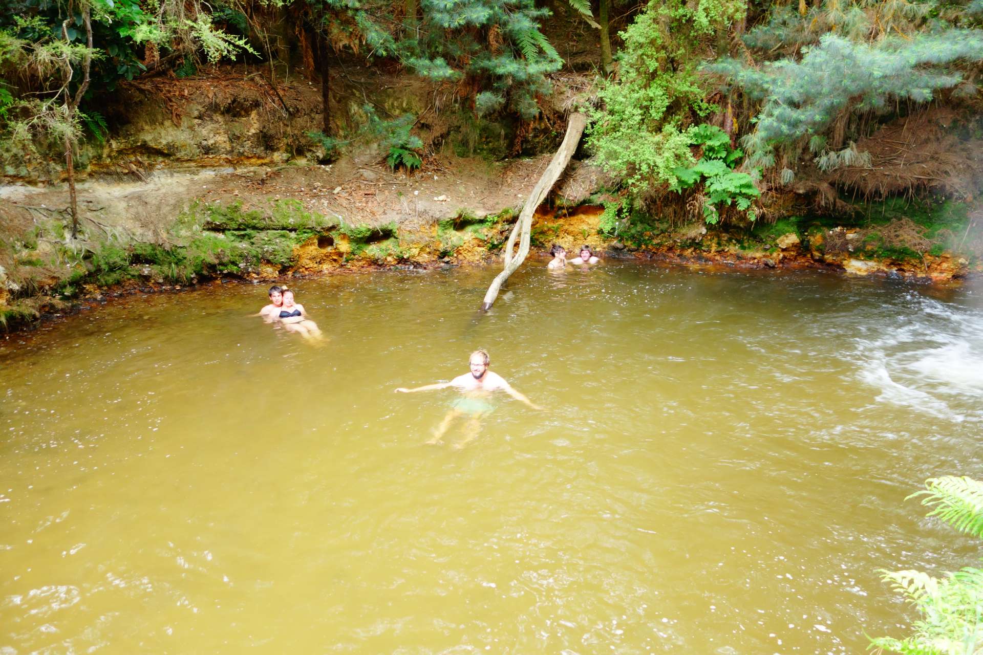
On to the next one :)
They are looking.
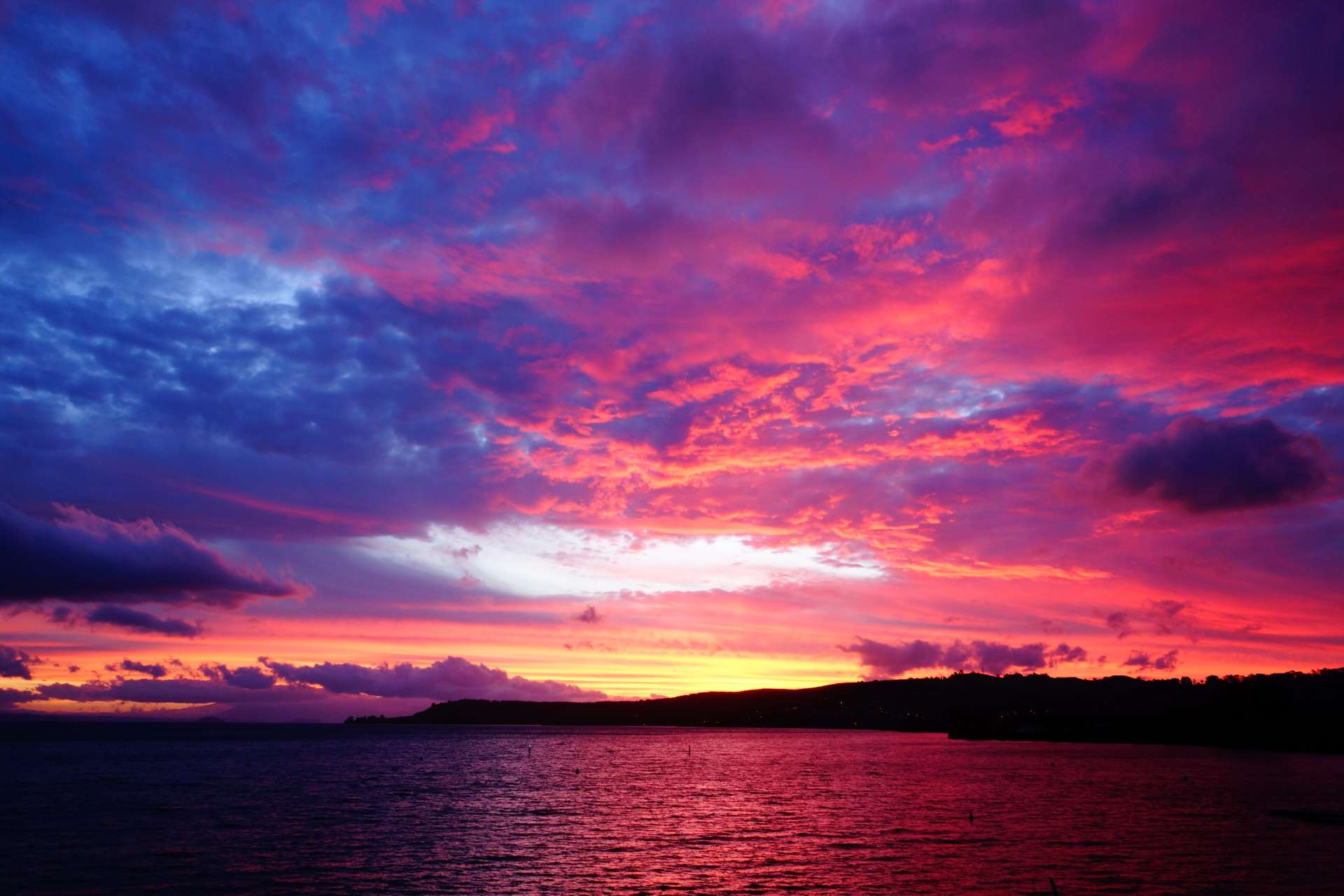
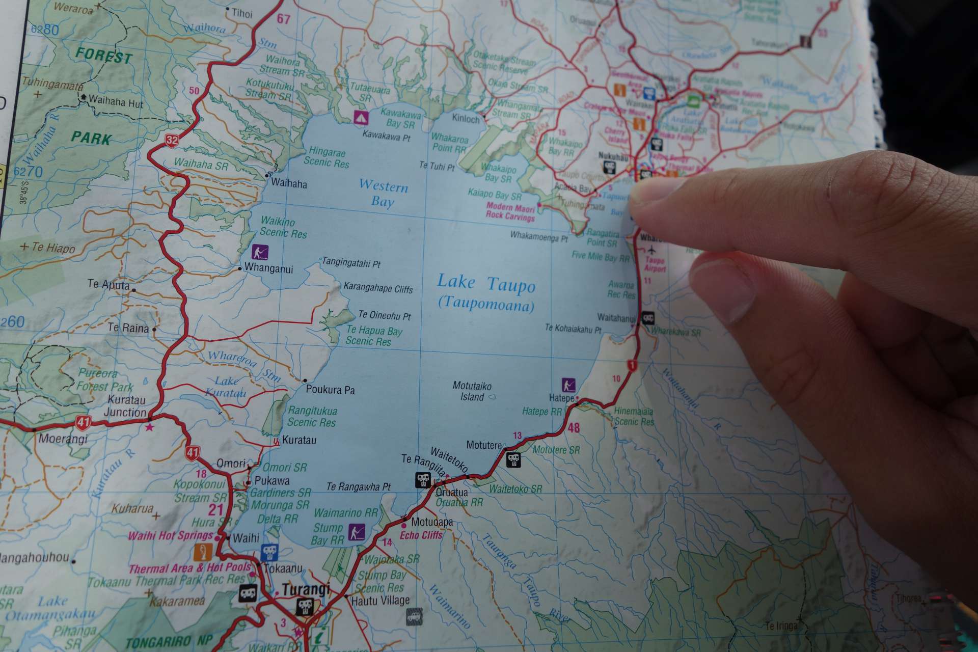
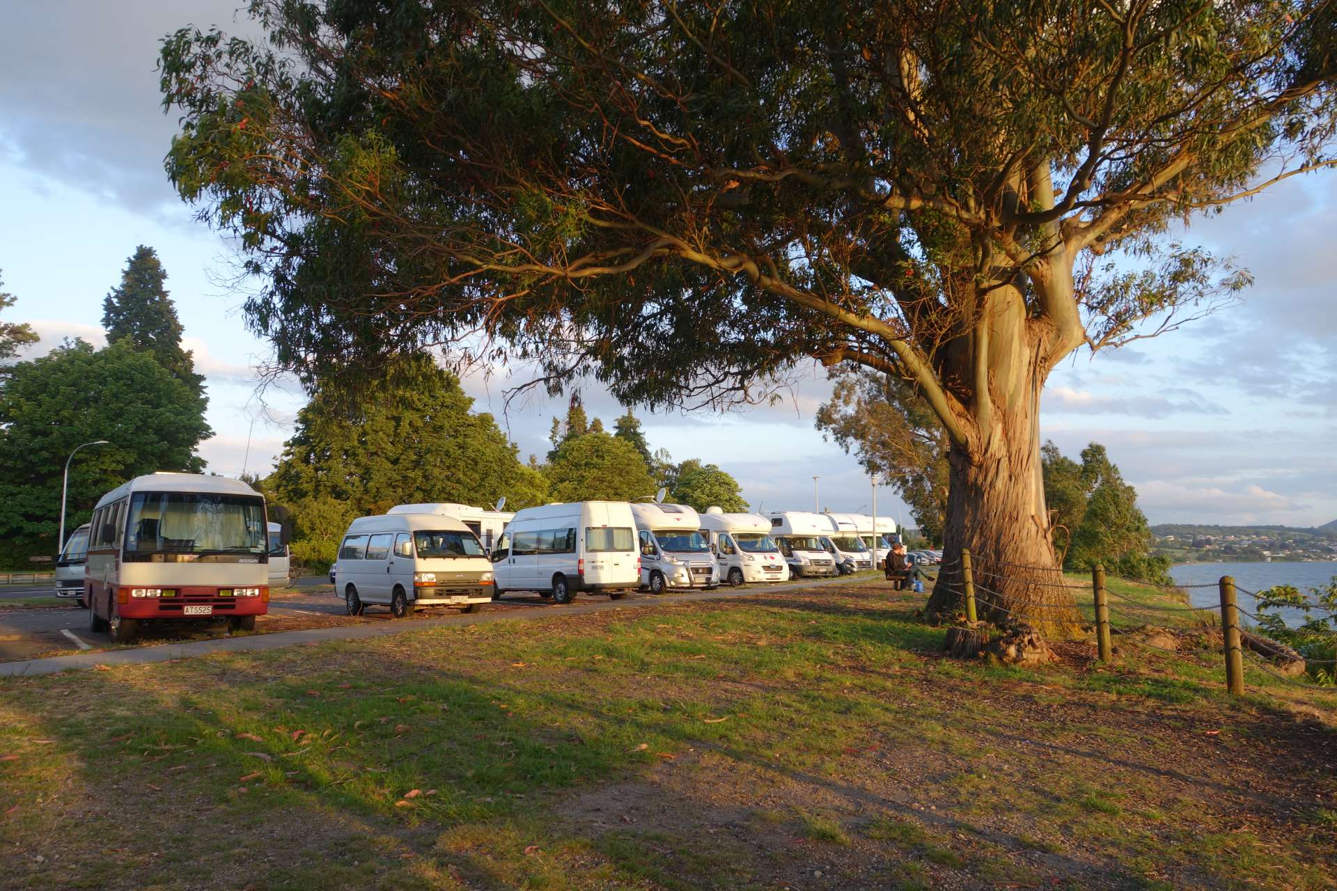
+++++++++++ Taupo +++++++++++
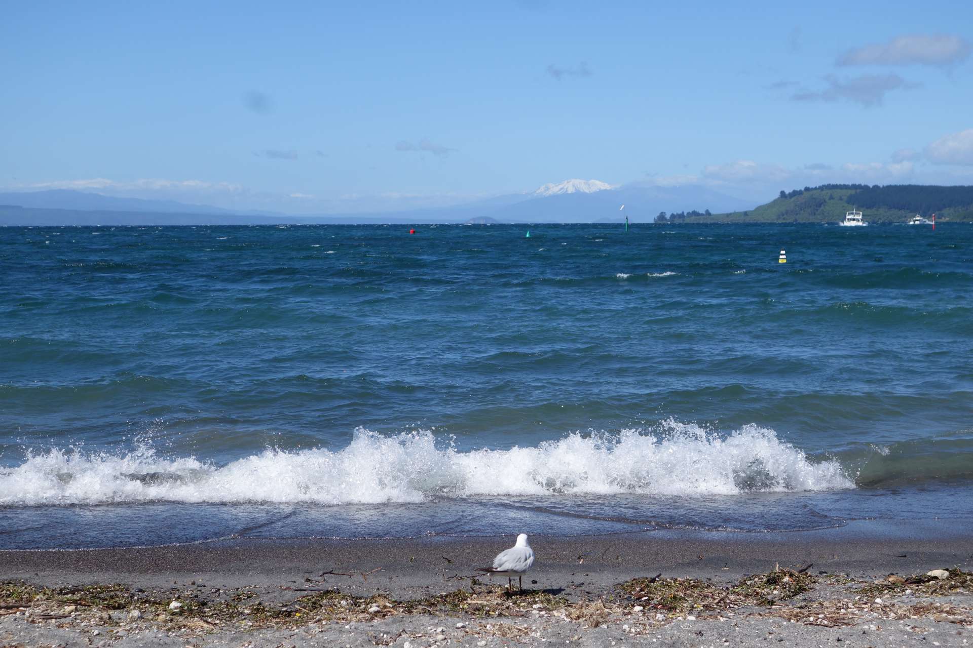
Our next destination heading south was the center of this huge volcanic area, which was formed in an apocalyptic volcanic eruption 26,000 years ago: The eruption known as Oruanui eruption near the present-day city of Taupo is considered the largest eruption in the world in the last 70,000 years and is one of the largest in the last 250,000 years. Besides this one, there were only 2 other known eruptions of apocalyptic proportions - Yellowstone in America and somewhere in present-day Italy. All of them were large enough to erase almost all life on Earth with their ash clouds.
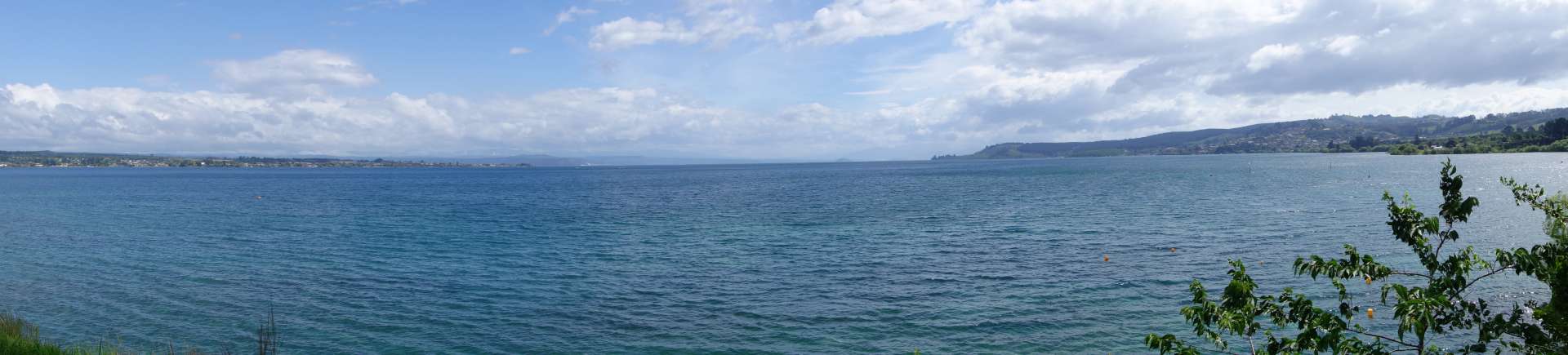
The Taupo Lake (right next to the city of Taupo) is a remnant of this enormous volcanic activity - a crater lake the size of Lake Constance!

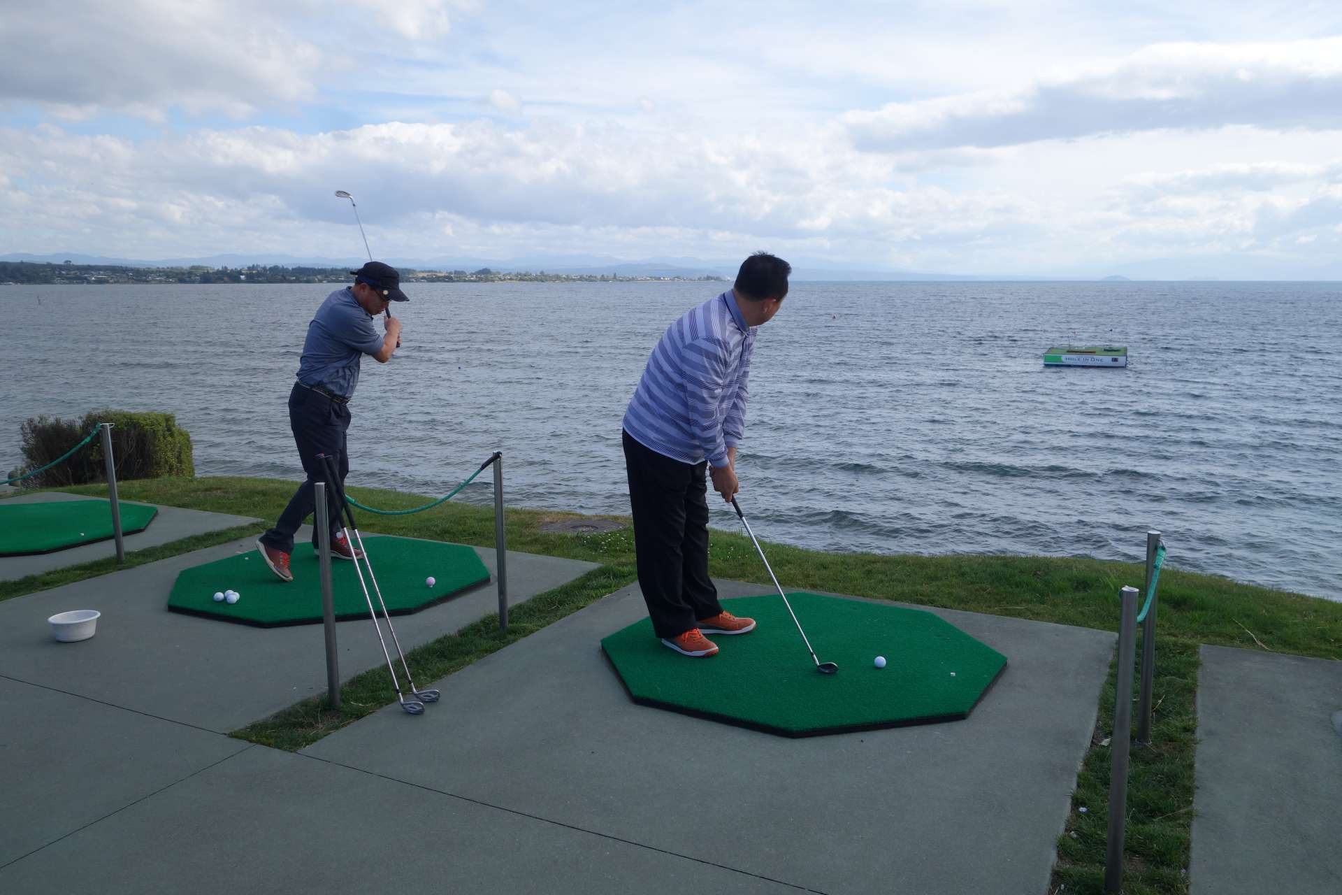
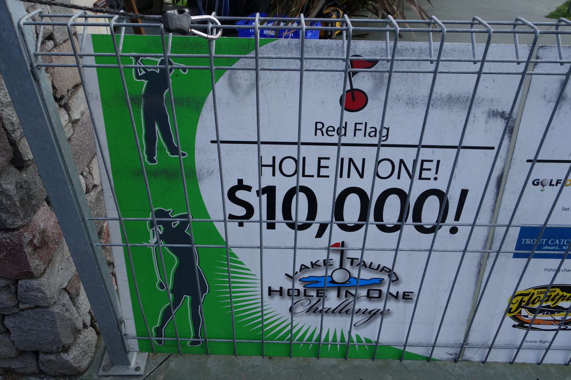
It is hard to imagine with the strong wind that someone could achieve that - but according to the website, there is an average of one hit every 2 weeks!
If you look closely at Lake Taupo in the penultimate picture, you can already see our next destination on the horizon from 100 km away: The Tongariro National Park with its impressive, even now at the beginning of summer still snow-covered mountains.
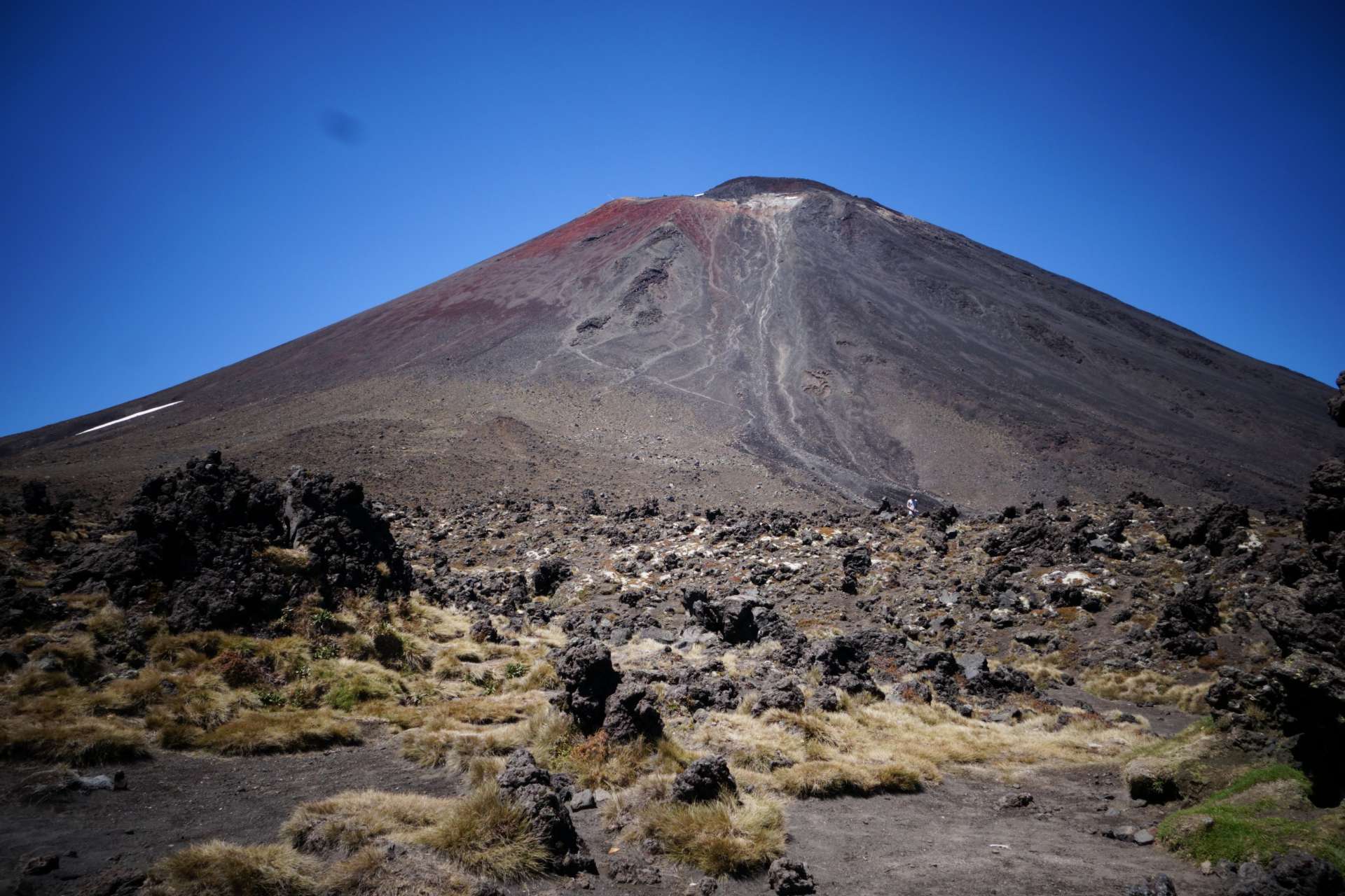
From Turangi, many tourists start their trips into the mountains of this national park every day, because one of them is world-famous: Mount Ngauruhoe. This is a quite striking volcano that was still active until the 1970s. After having erupted a total of 45 times in the last century, it is now considered more or less inactive.
However, the volcano is world-famous under the name 'Mount Doom' from the film trilogy 'The Lord of the Rings'. At the end of the fantasy epic, the evil 'One Ring' is thrown into the lava of this very volcano - Happy ending in the movie and the beginning of climbing thousands of tourists who want to follow in the footsteps of Frodo and Sam to reach Mount Doom!
This is what it looked like in the movie: https://www.google.co.nz/search?rlz=1CADEAE_enDE700DE700&biw=1229&bih=601&tbm=isch&sa=1&btnG=Suche&q=mount+doom+lord+of+the+rings
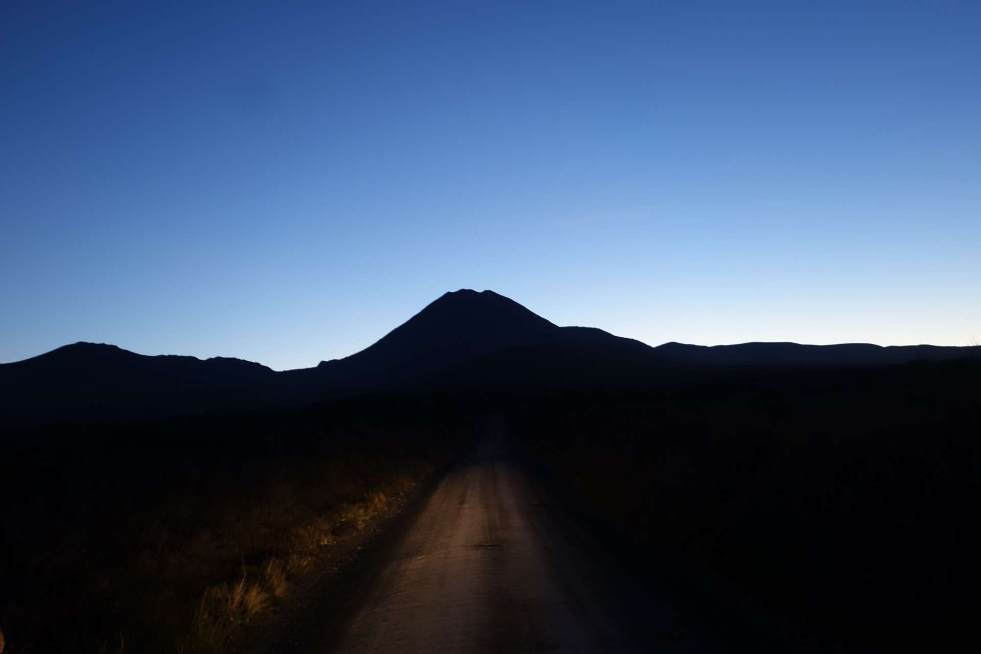
This is what Mount Doom/Mount Ngauruhoe looked like to us - from a distance and just before sunrise:
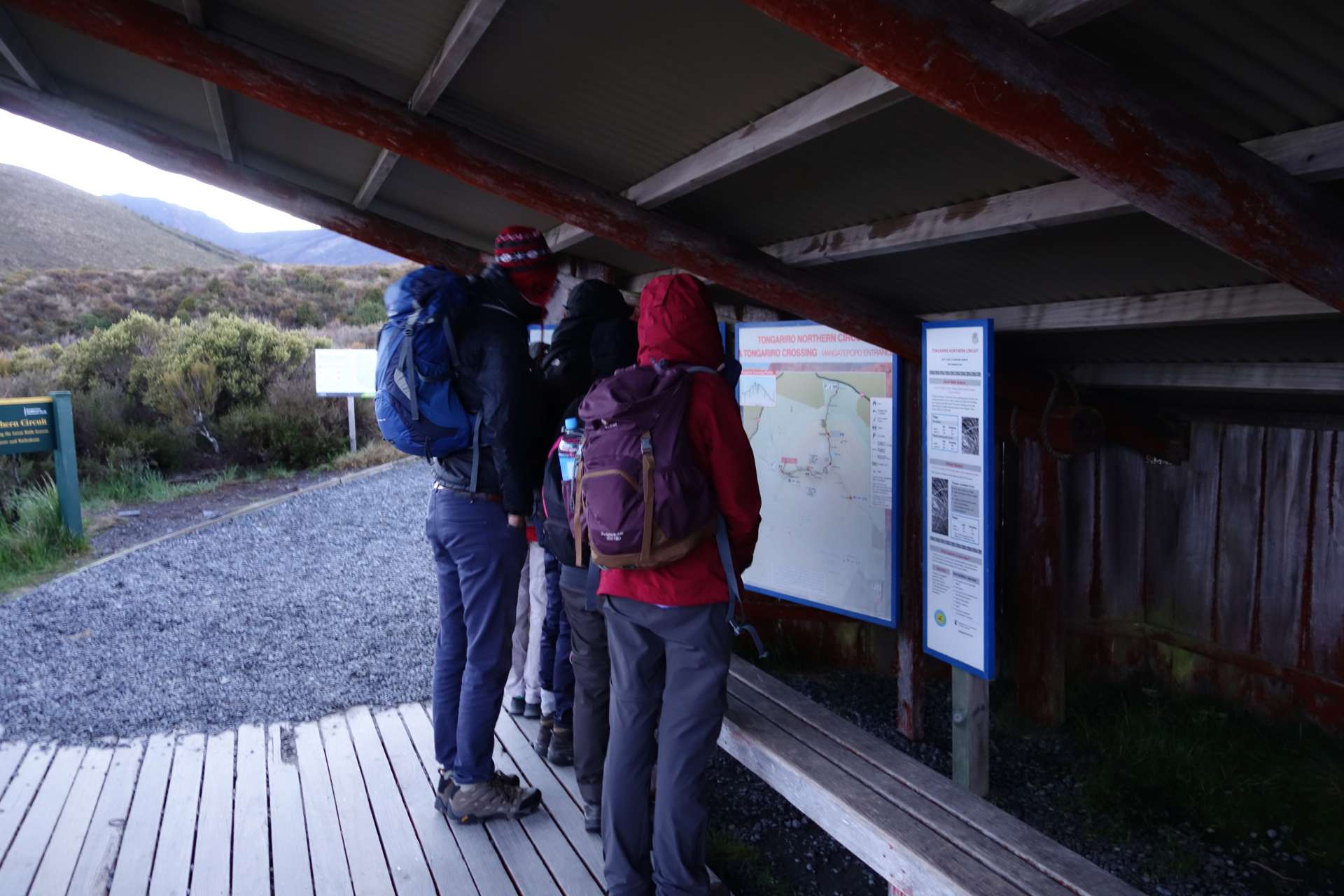
We didn't actually plan to climb this monster of a volcano. We just wanted to walk a part of an alpine hiking trail - the 'Tongariro Crossing' - which also passes Mount Ngauruhoe... but luckily we were influenced by Alex and ended up climbing the mountain after all. Who is Alex?
In the evening before we wanted to start the hike, we were approached by Alex (a German, of course, there are so many of them here that you might think Germany is empty). He didn't have a car and asked if we could take him to the national park the next day. In addition to him, we also took two of his acquaintances (Kira and Stephie), also Germans - of course.
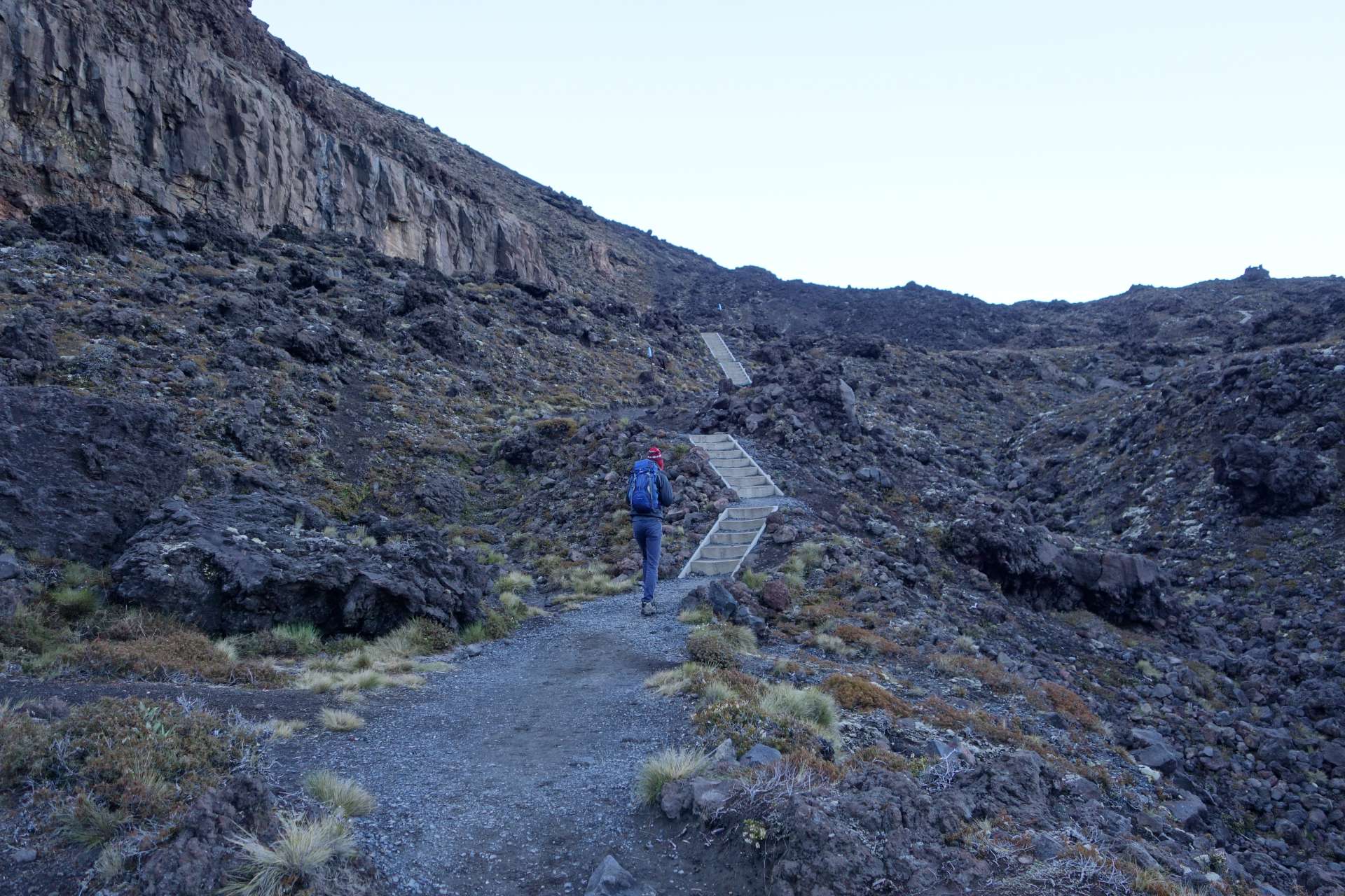
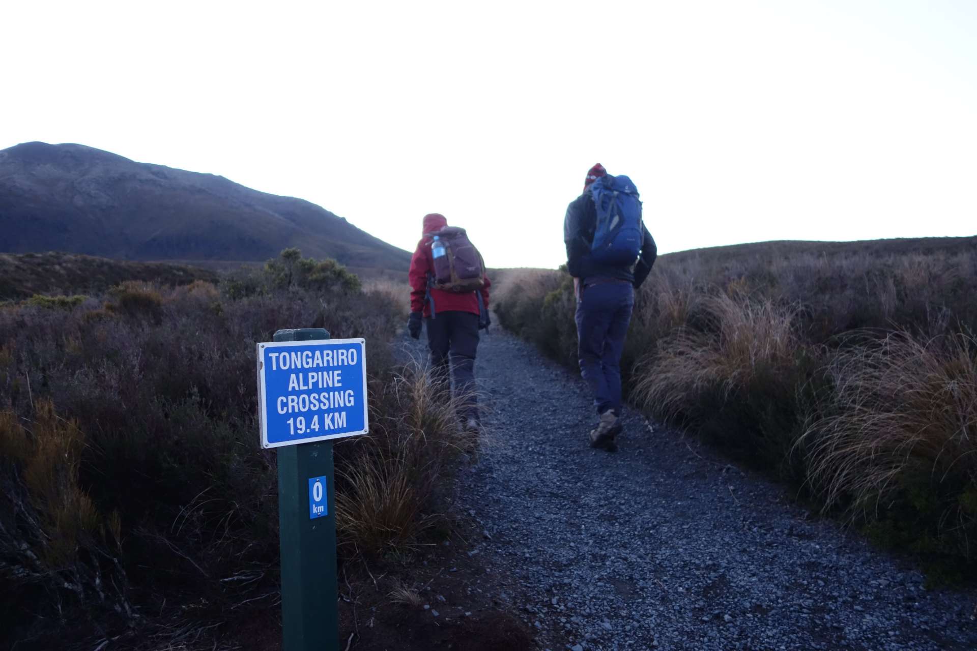
To avoid the midday heat, we left at half past four in the morning and set off with the five of us:
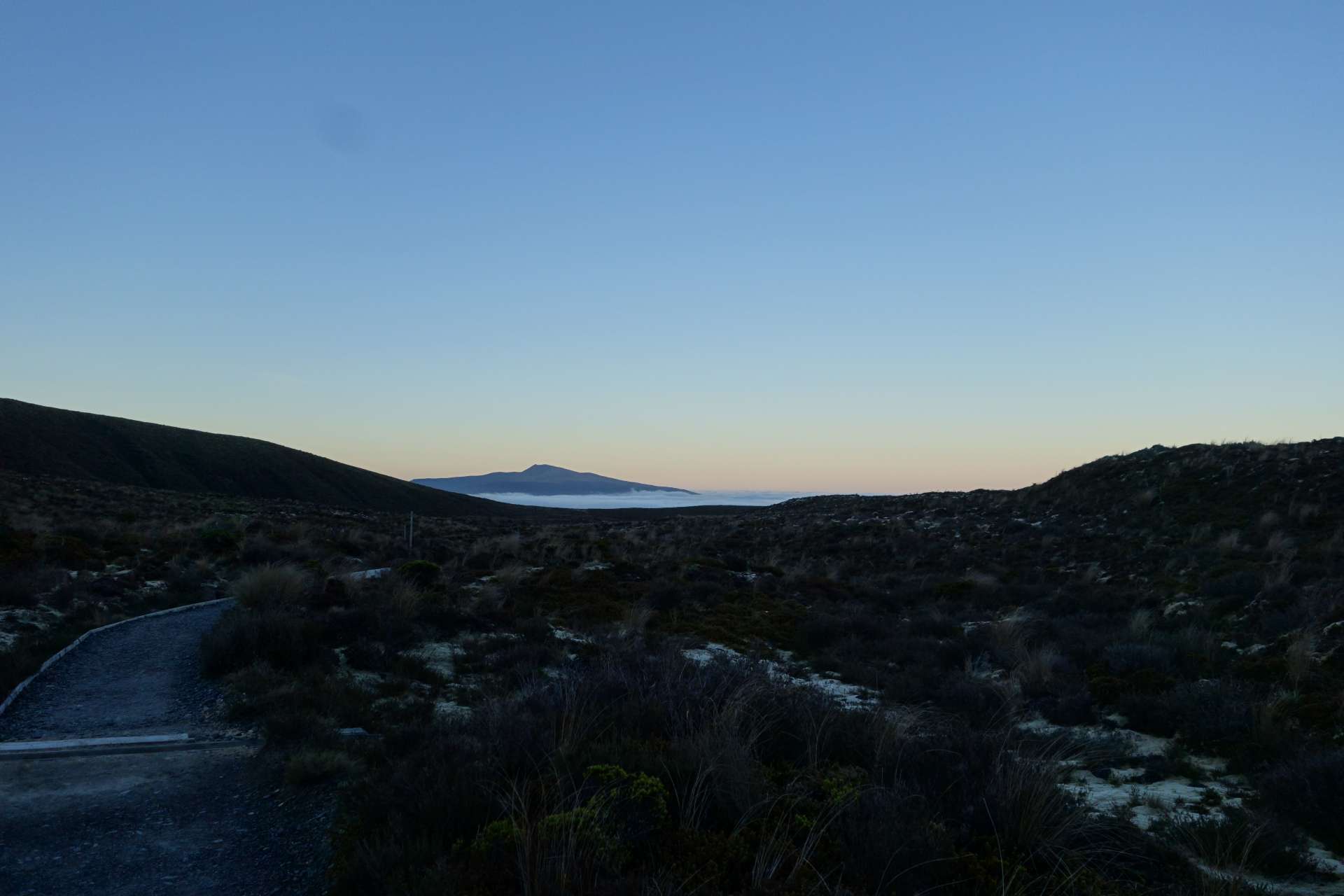
(Looking back into the foggy valley)
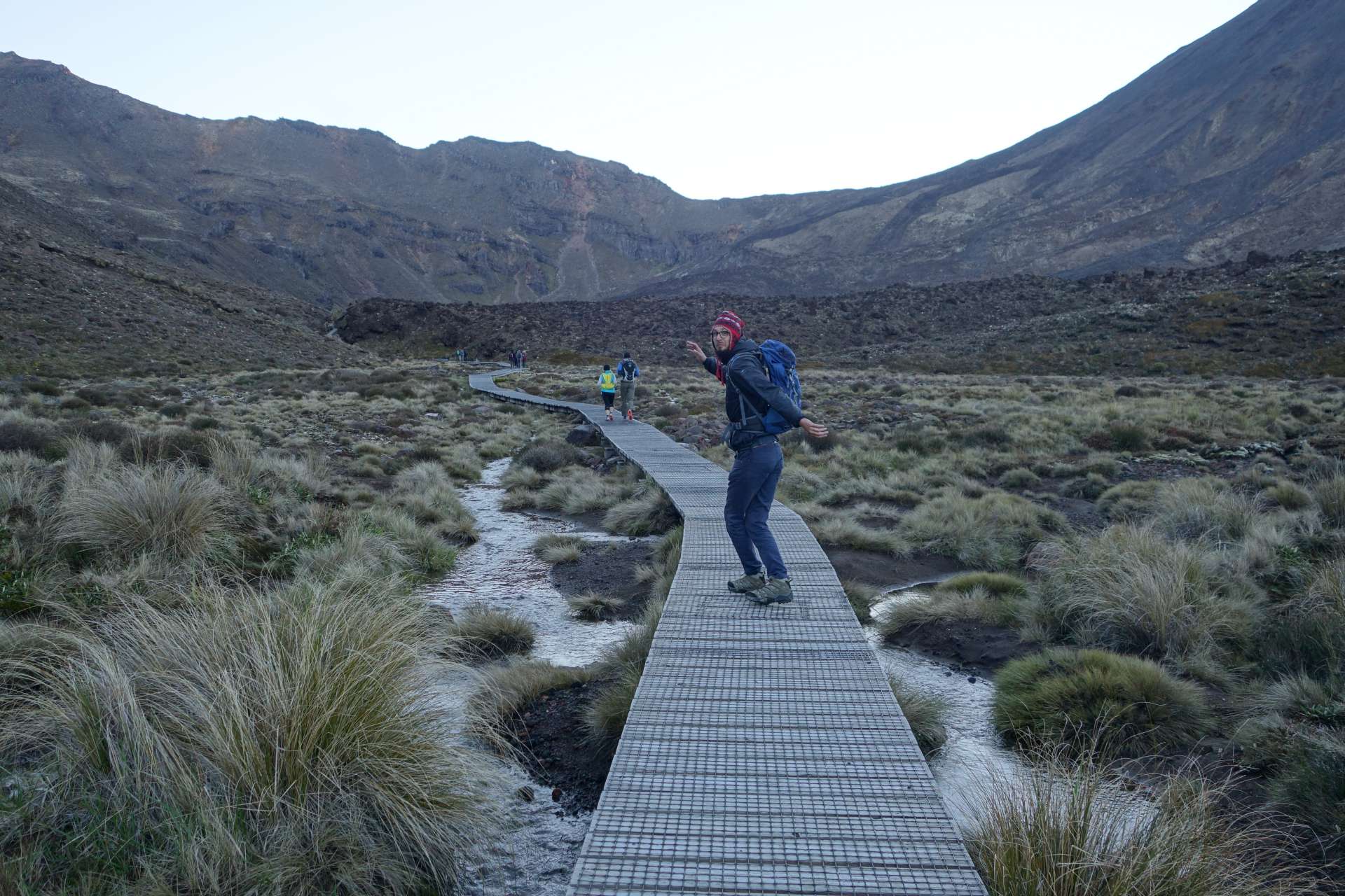
It started off flat...
Then it became more strenuous.

The first rays of sunlight hit us...
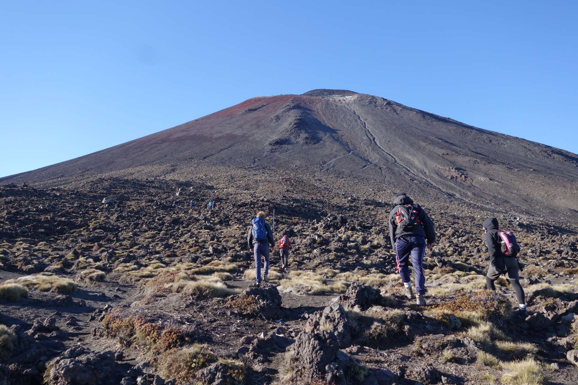
...just before we reached its base: Mount Doom / Mount Doom.
It looks quite small from here, doesn't it? That's what we thought too, and at that point we decided to follow in Alex and the girls' footsteps and climb the volcano. It couldn't be much worse than the way up to here!! Or could it?
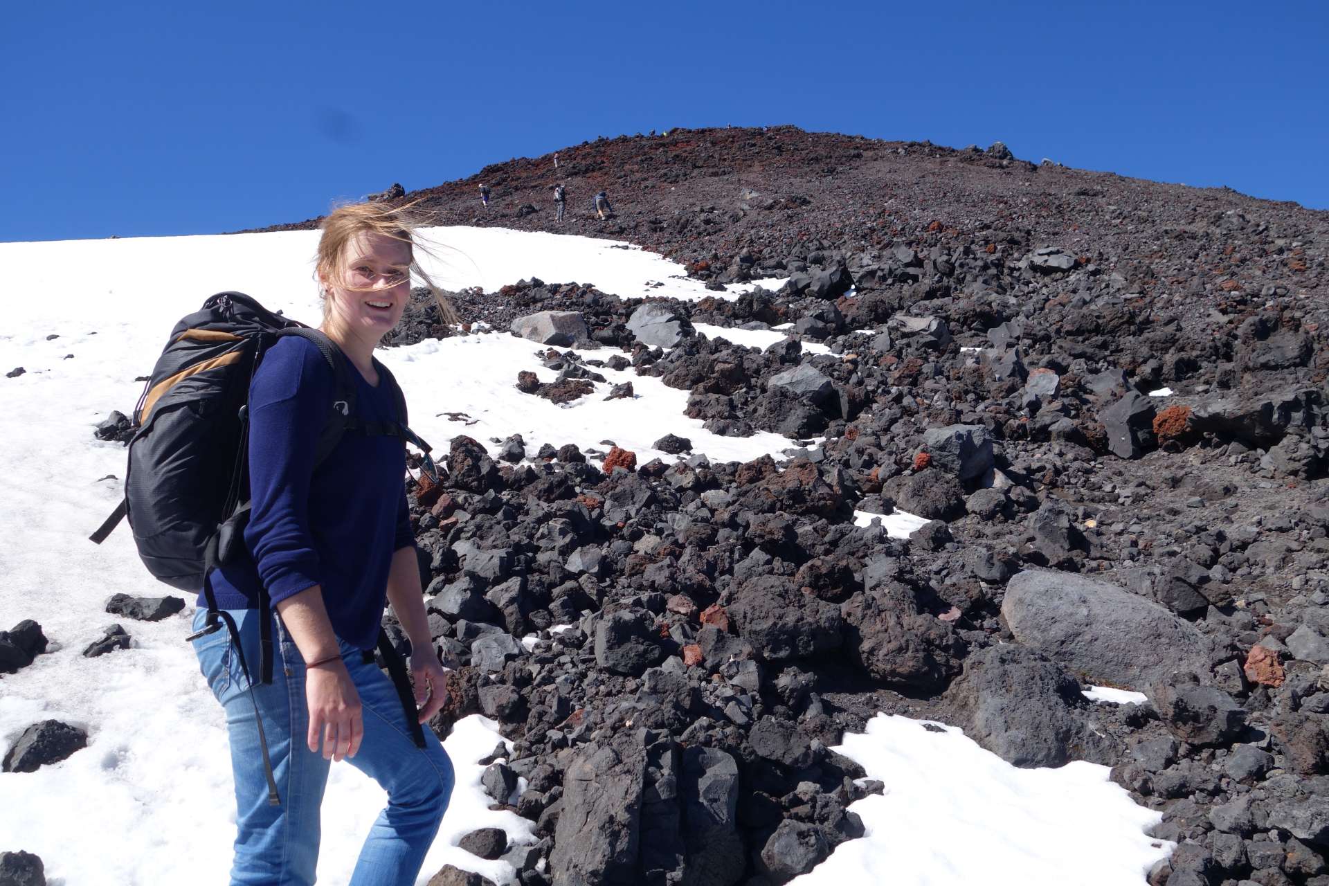
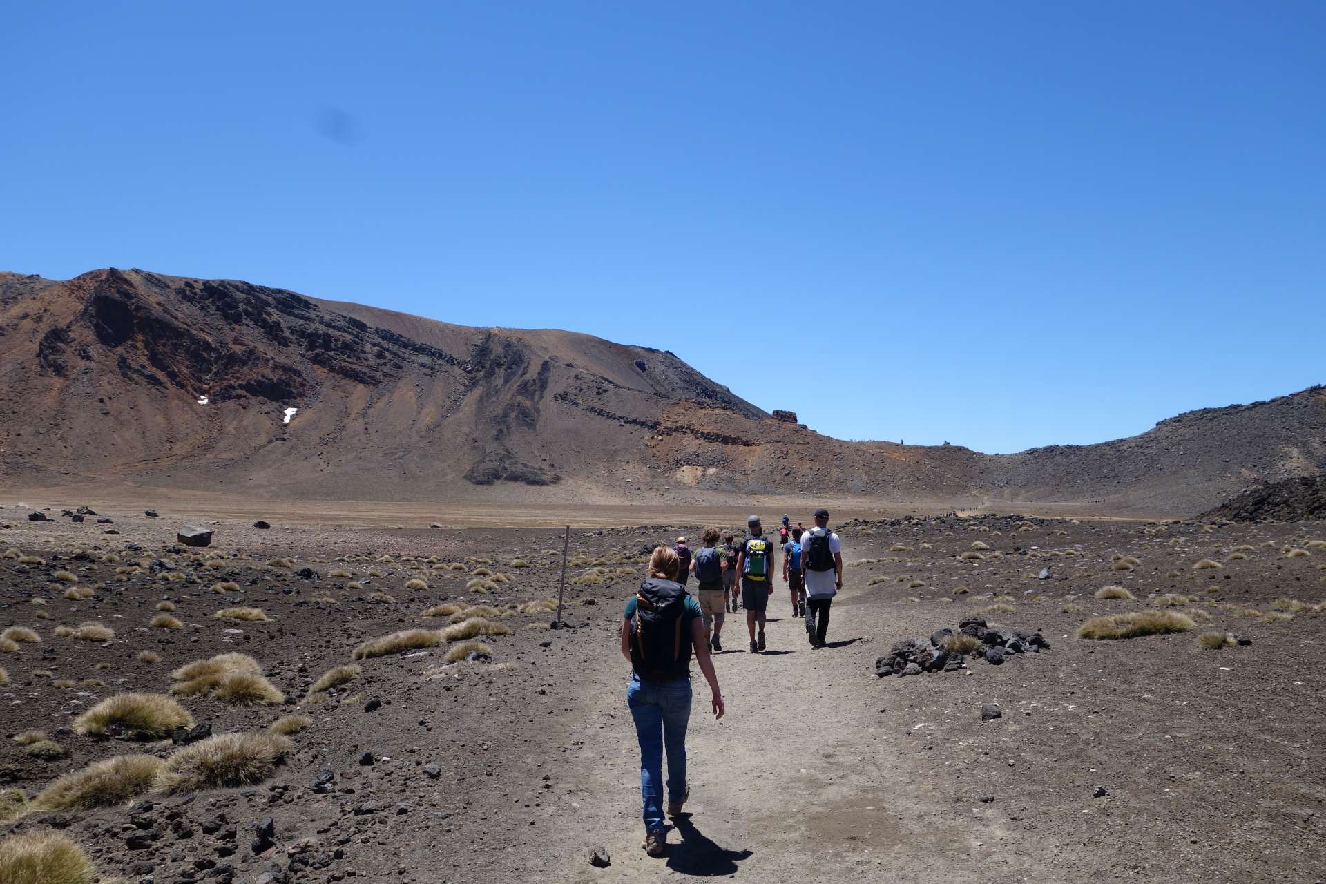
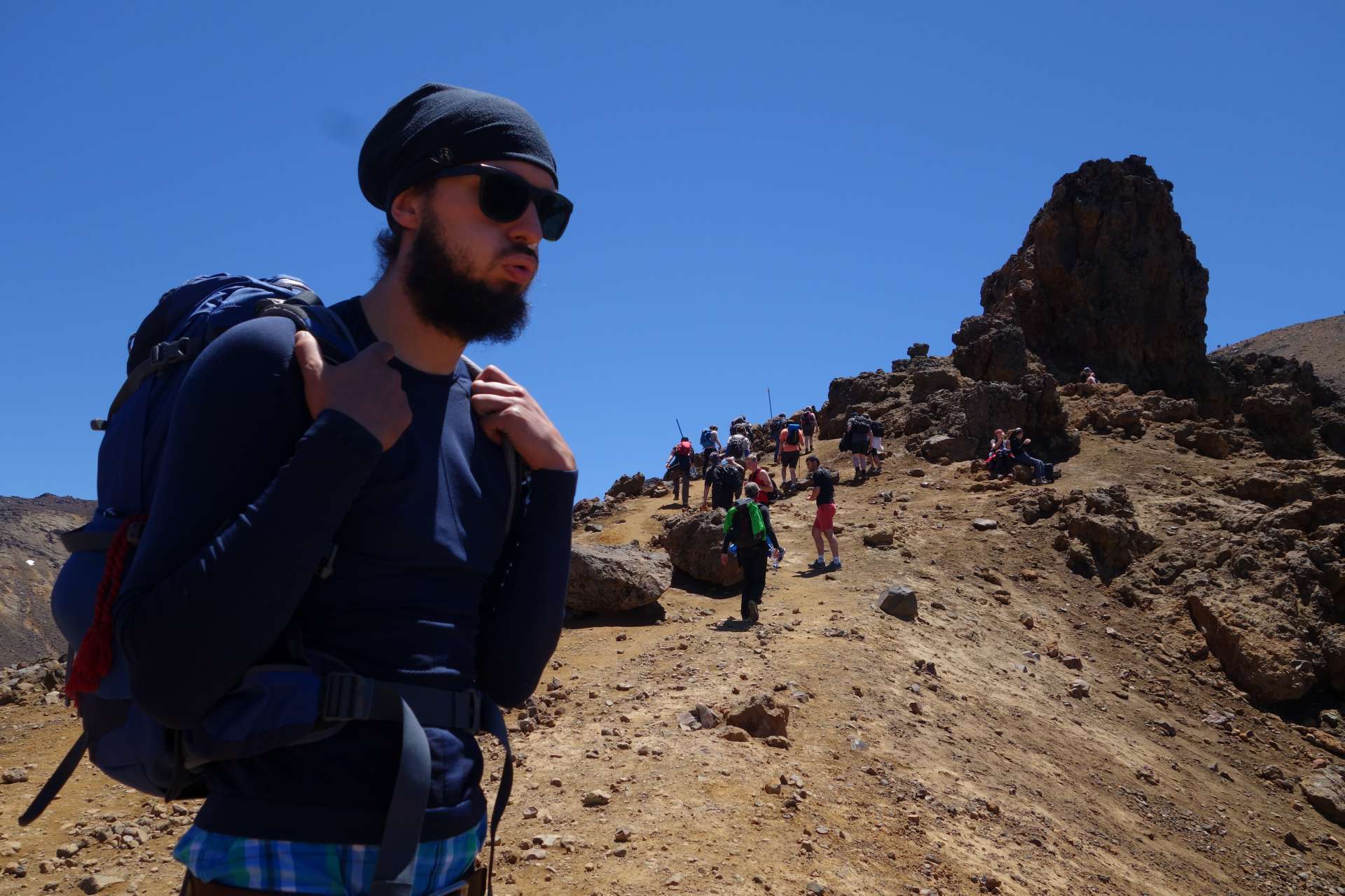
In order to climb Mount Doom, you have to leave the hiking trail. From this point on, there is only scree and everyone makes their own way up the volcano. It was like going through the wilderness, so to speak. When we still didn't know how incredibly exhausting the next few hours would be, we could still smile for the camera:
It gradually got more difficult...
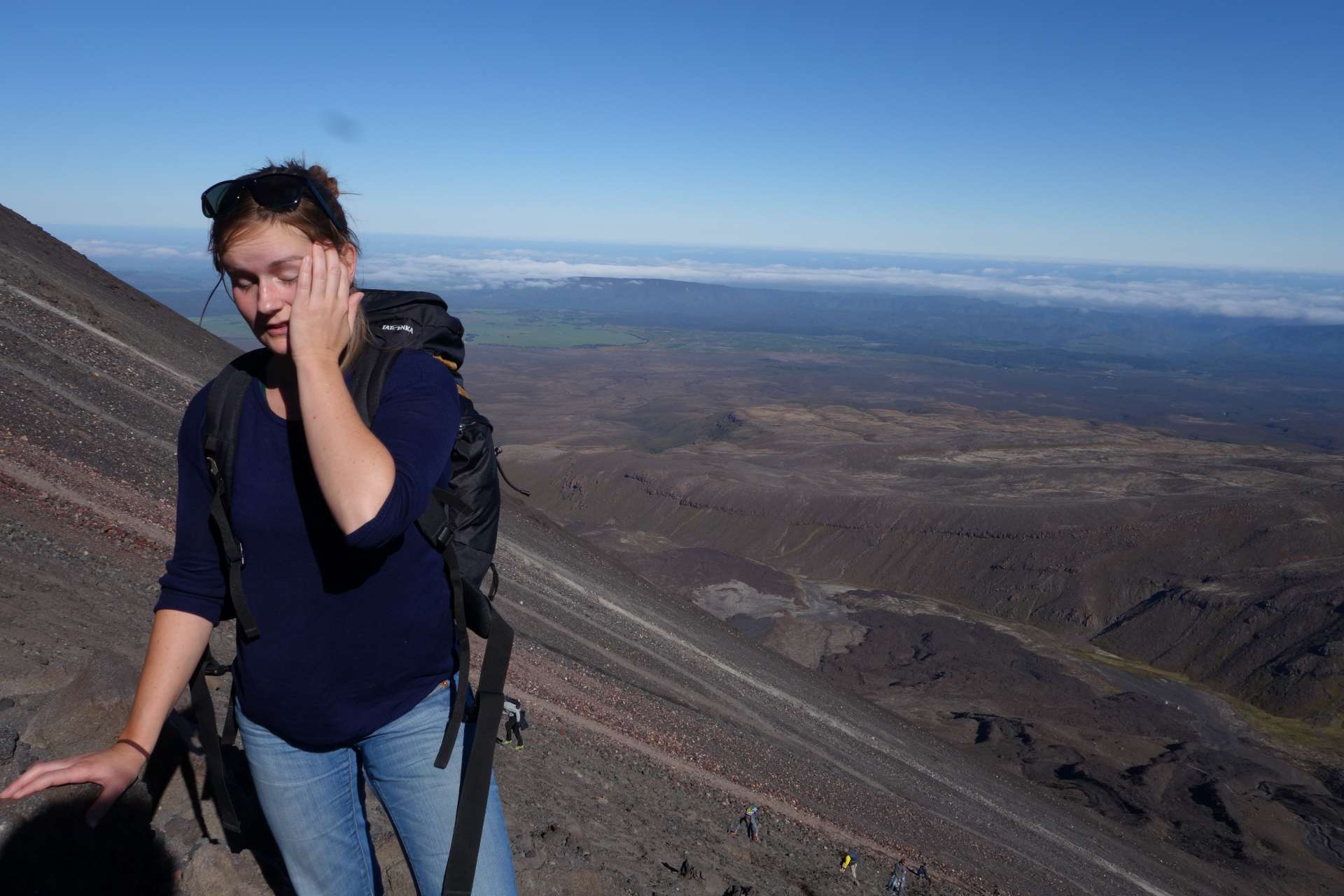
...but the view became more and more rewarding!
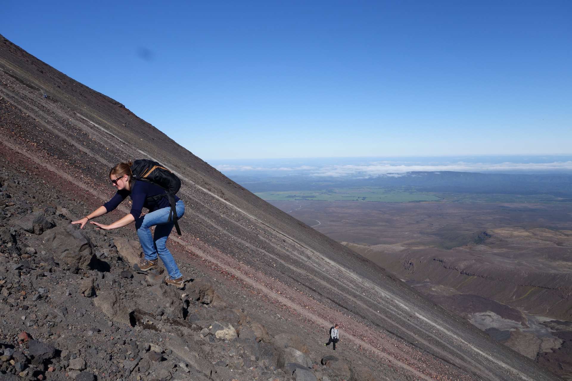
You never see where you are on the mountain. 'Have I already done half? Probably...' - 'Soon the summit must come.' But looking up only reveals a constantly new horizon of rocks and small people who are faster than oneself or started earlier.
The worst thing about this ascent was not only the slope or the height of the mountain. It is mainly the ground: small and large lava stones that roll away under your feet and create small avalanches, making every step a feat of strength. Only occasionally did we find rocks that were big enough to provide real support, like here:
We even found some snow almost at the top.
There was even a bit of smoke coming from the mountain up there! Awesome :)
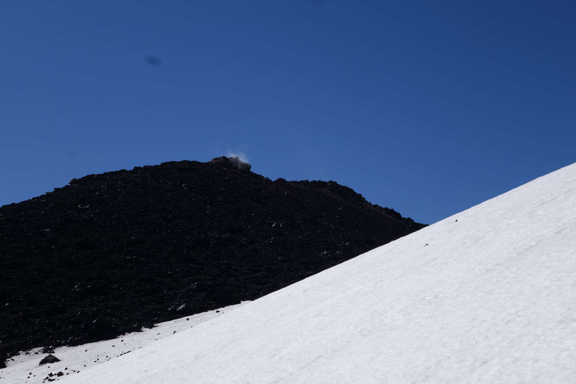
After 3 long hours we finally made it - we reached the top!
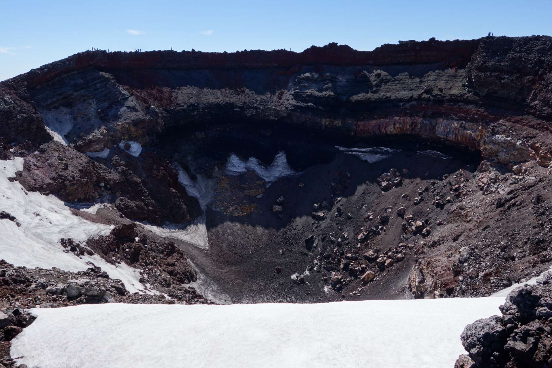
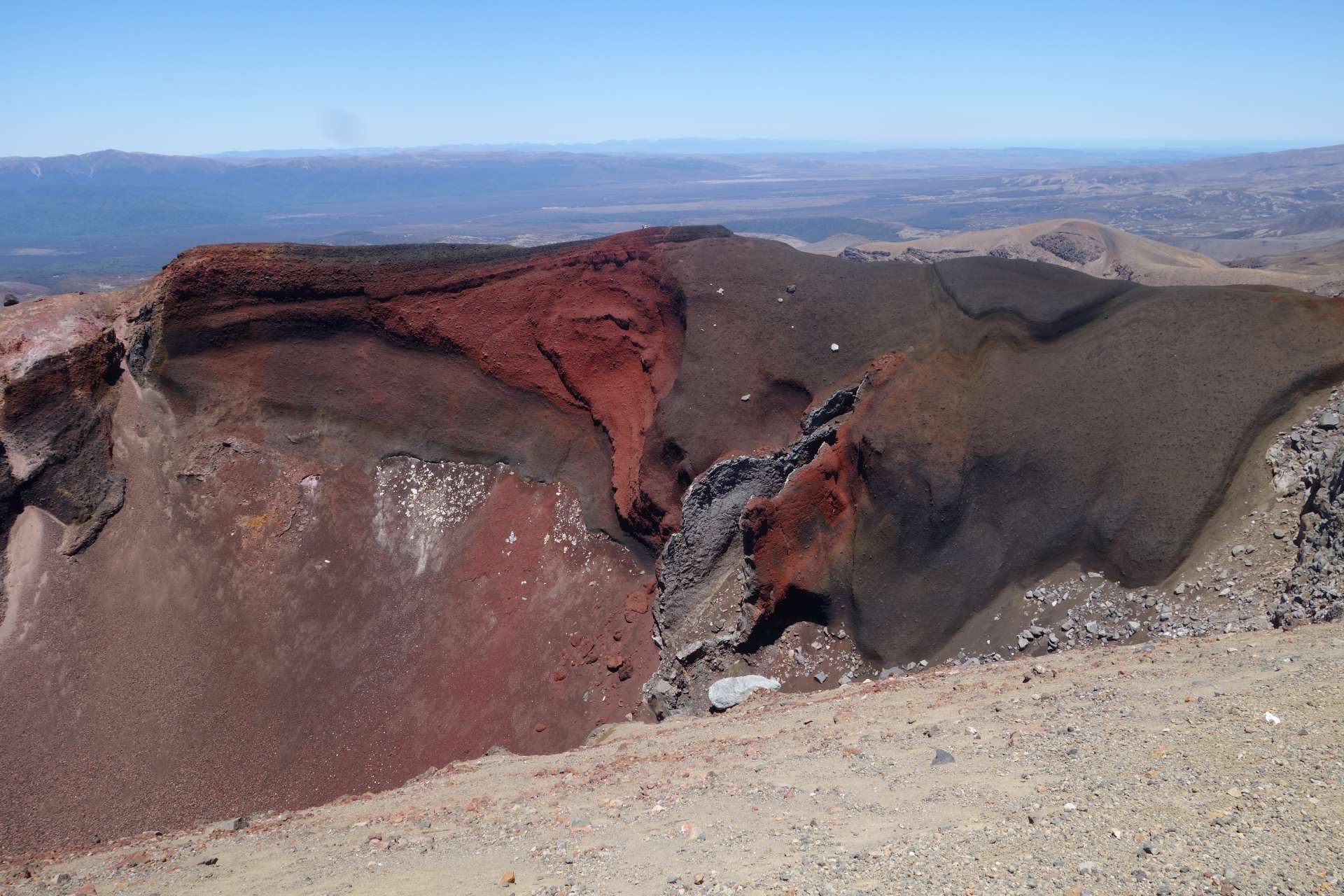
No volcano without a crater, of course:
The crater is bigger than it seems: Do you see the little stick figures standing right at the top of the rim?
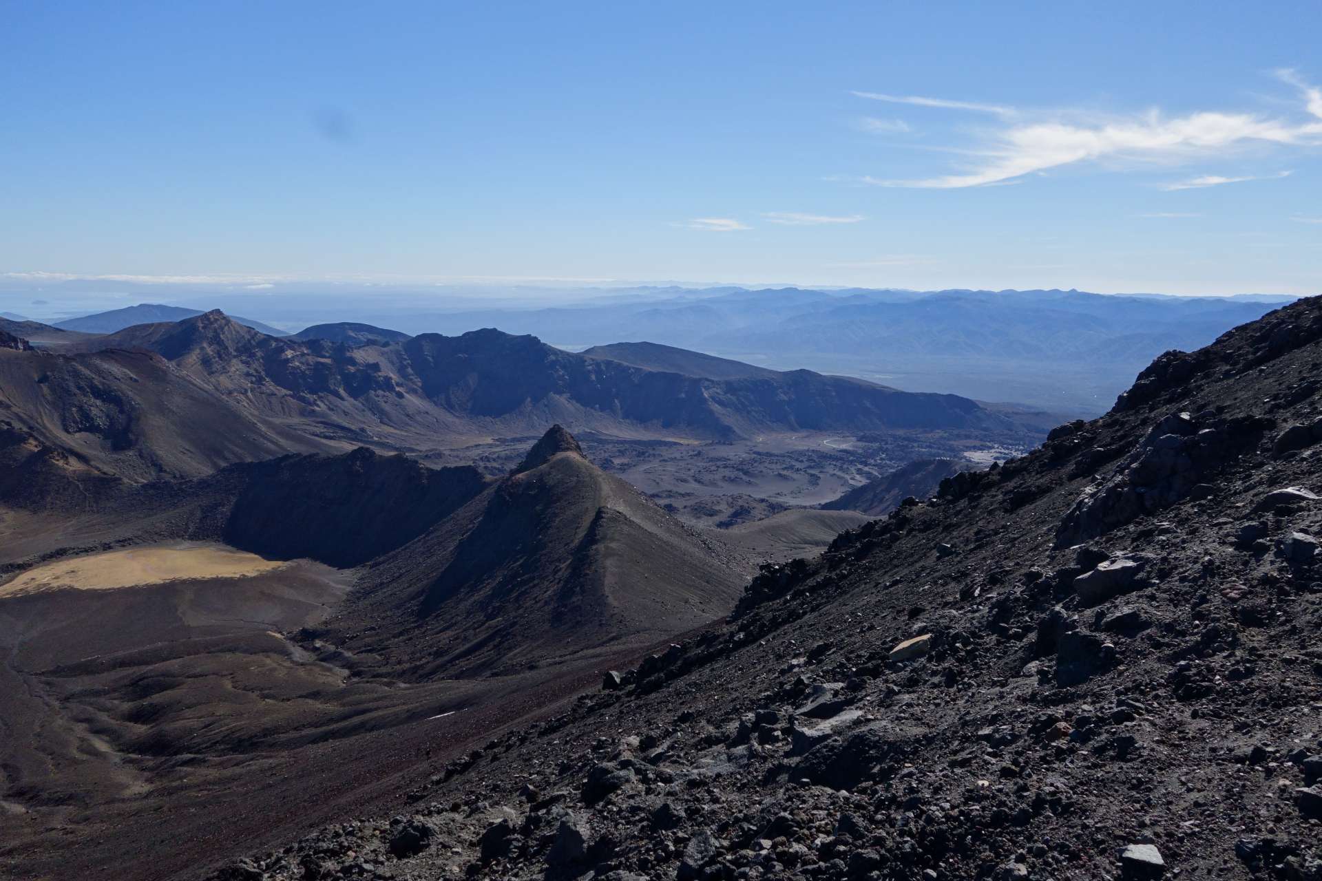
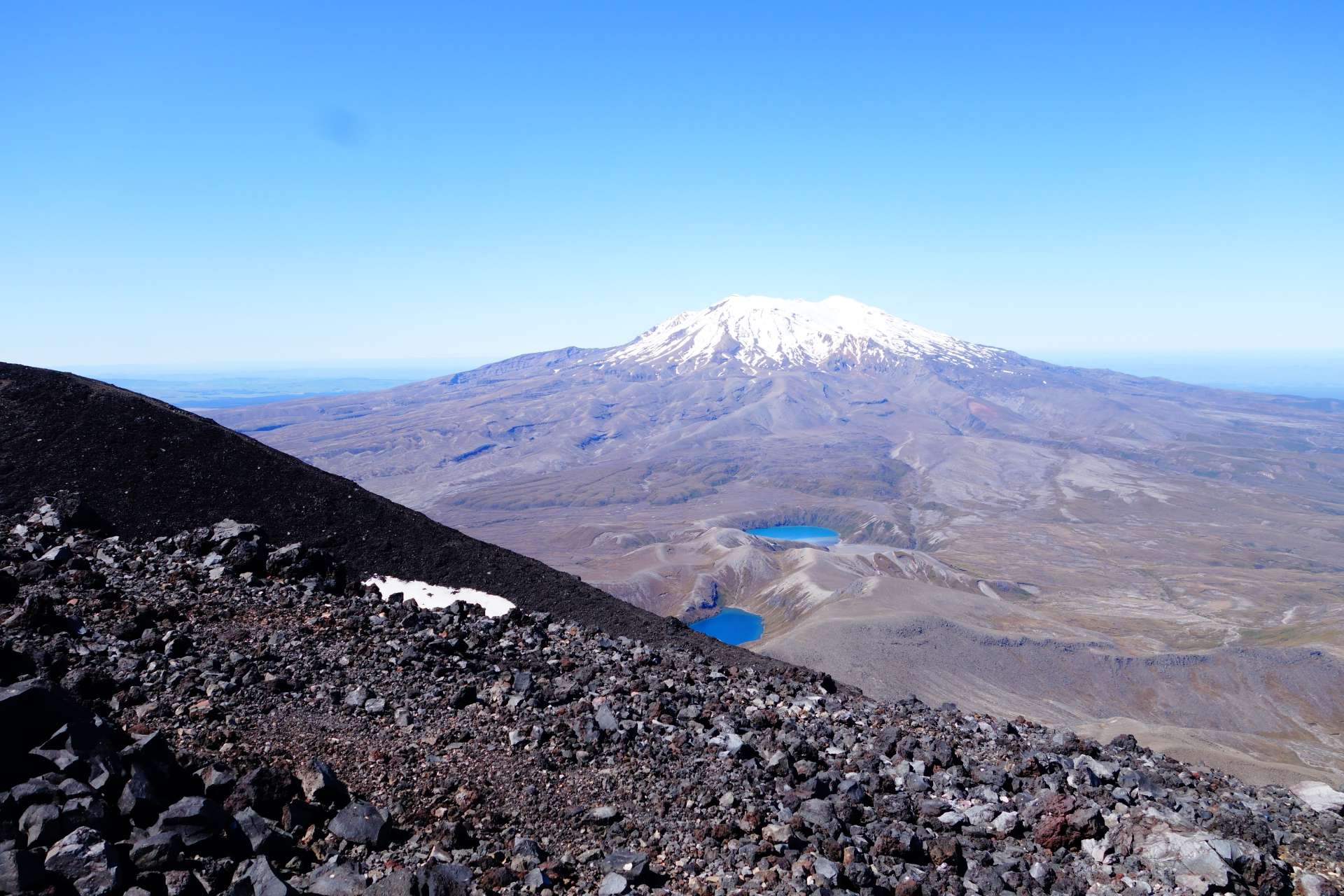
This is what the view looked like around it:
(Mount Ruapehu - the mountain that could already be seen on the horizon from Taupo, 100 km away)
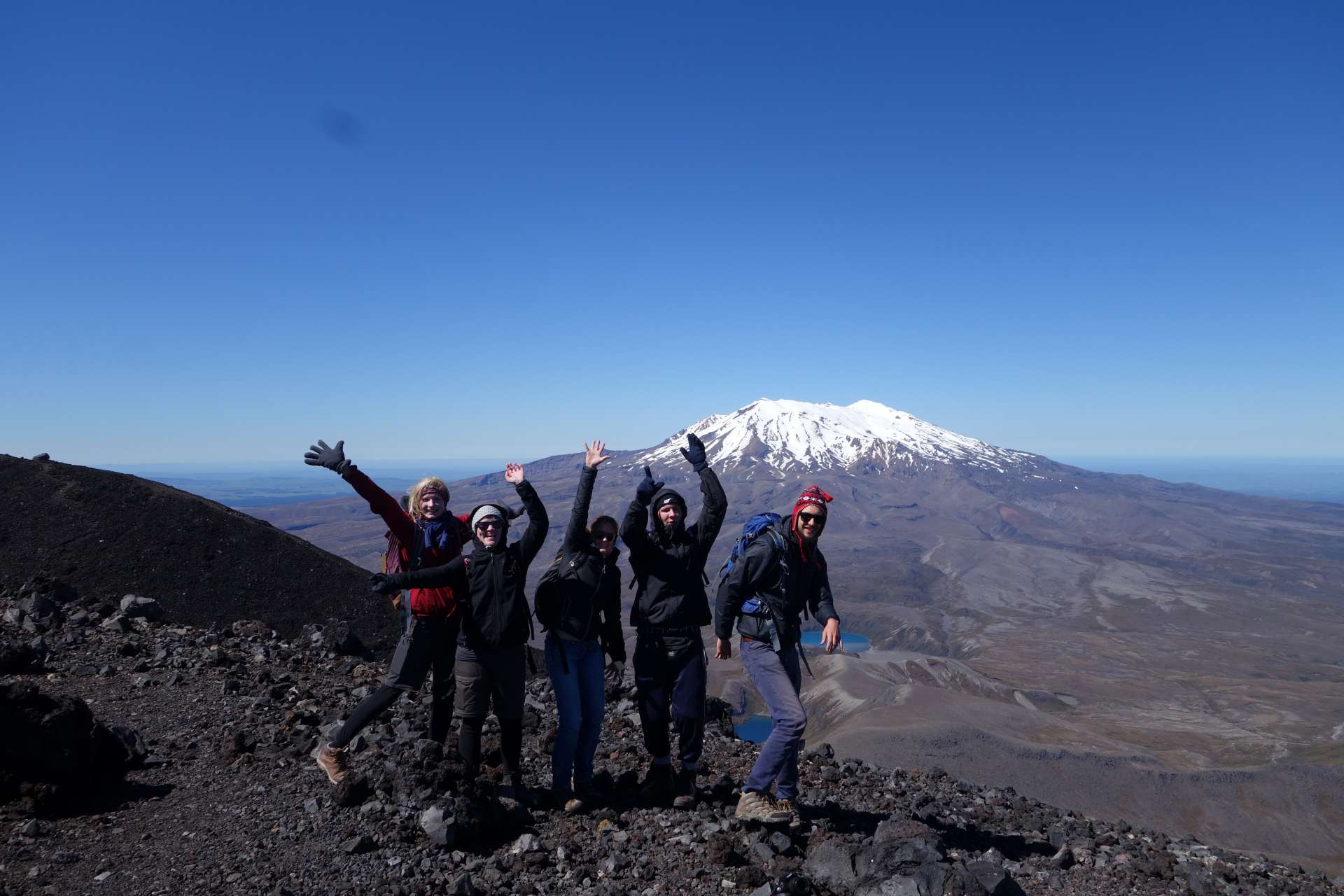
Our little hiking group: Stephani, Kira, -Zette, Alex, HanN-
We found sulfur during the descent.. cool!
A final picture of the mountain after we were back down: The serpentine lines that look like traces of runnels are from people who slid down the mountain again - the ground was so loose! That was really fun in some places!
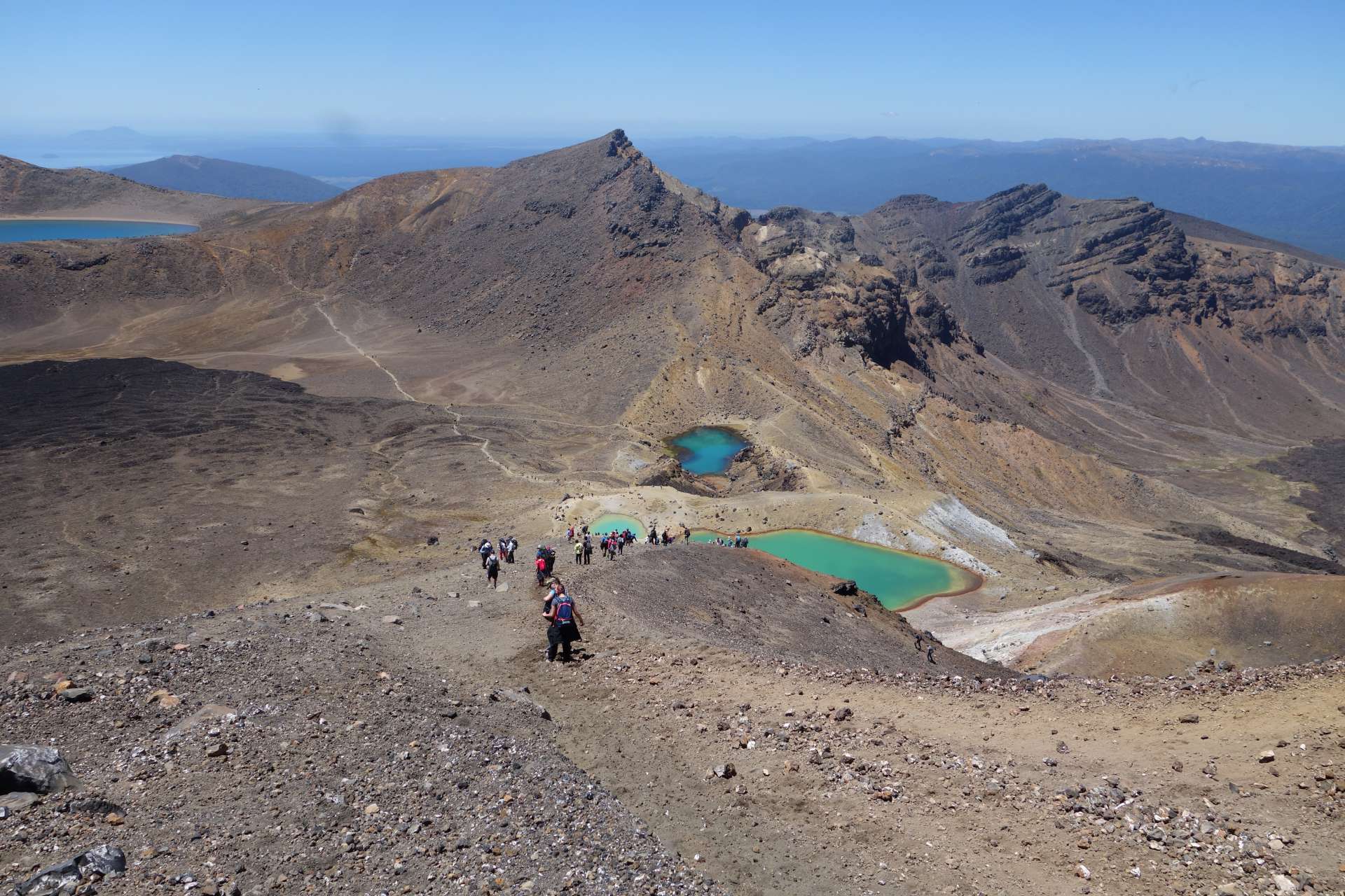
Afterwards, we walked a good stretch along the Tongariro Crossing hiking trail to see a few more craters and lakes:
The 'Red Crater' is still active:
The green ones are aptly named the Emerald Lakes, and behind them is the Blue Lake. At this point, we turned around and walked back to the car.
CONCLUSION: After 11 hours of hiking (!!!!) with lots of sun, wind, and the most intense, steep, and strenuous climb onto a volcano without a hiking trail that we have ever experienced, we are very proud to have climbed this mountain!
That's all for now, with warm Christmas greetings to all of you, and the fact that will stay in our memories for a long time:
WE WERE ON MOUNT DOOM!!!!!!!!!!!!!
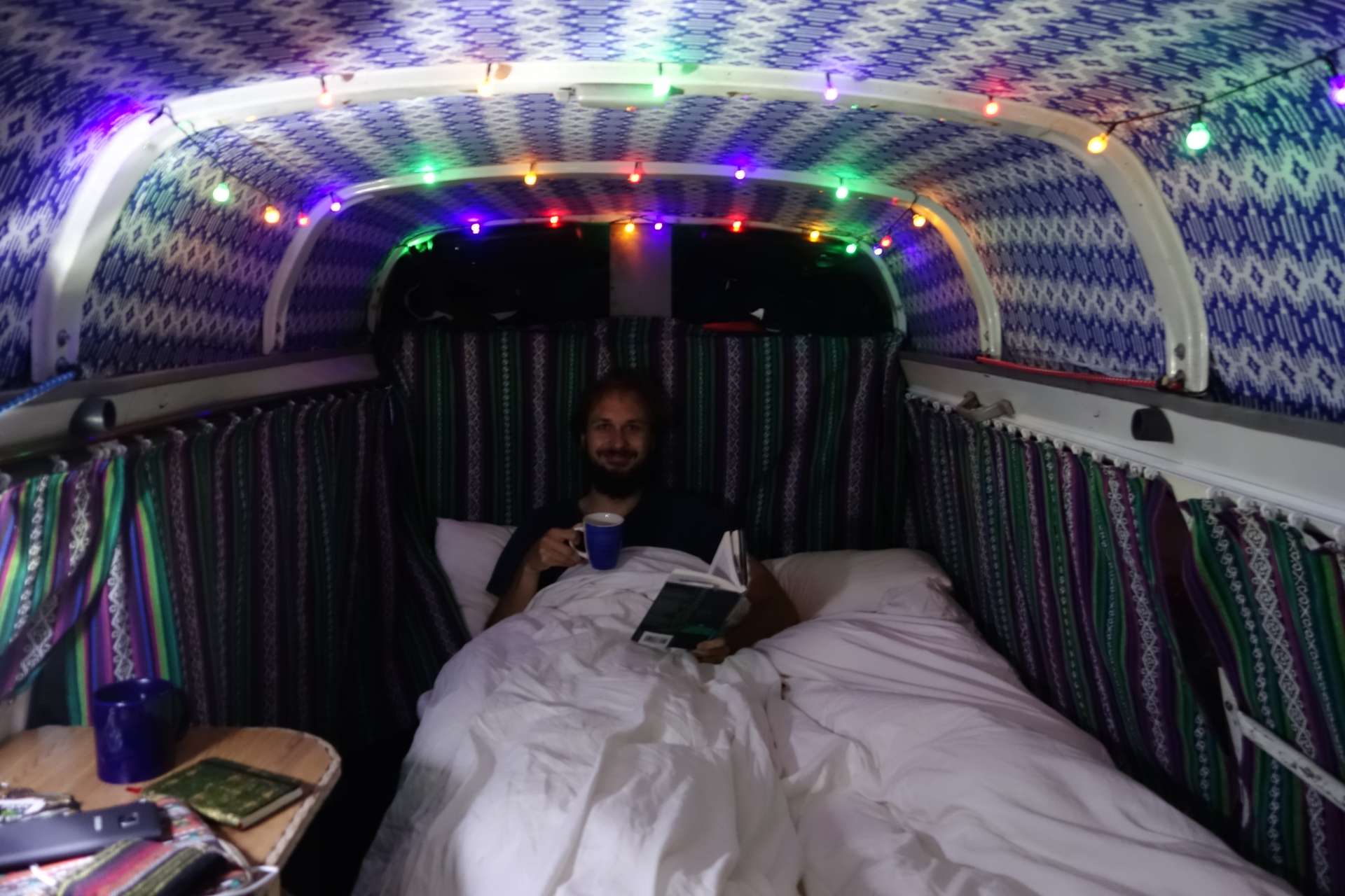
PS: We are now on the South Island, we survived the ferry ride all three of us (the two of us + our little car ;)). Hopefully, we will have sporadic internet access in the next few days, but if not, don't worry - we will enjoy the Christmas season in what currently looks like rainy weather, which invites cozy tea hours under the covers!
Merry Christmas :)
ለጋዜጣ ይመዝገቡ
መልስ (1)
Elvira
Ich sehe mir immer wieder gern diese Fotos von euch an 😘 lg e. Kuhnke 
የጉዞ ሪፖርቶች ኒውዚላንድ