Day 10. The wrong way
Gepubliseer: 01.06.2017
Teken in op Nuusbrief
Sorry 😐 for reporting so late, there were technical problems with Vakantio, but now they are resolved so hopefully there will be daily reports again
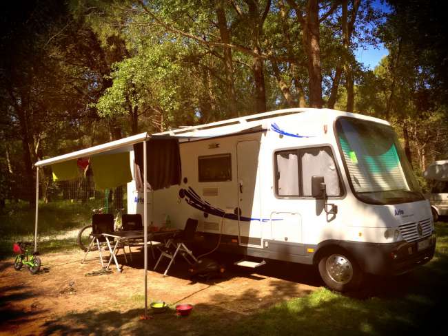
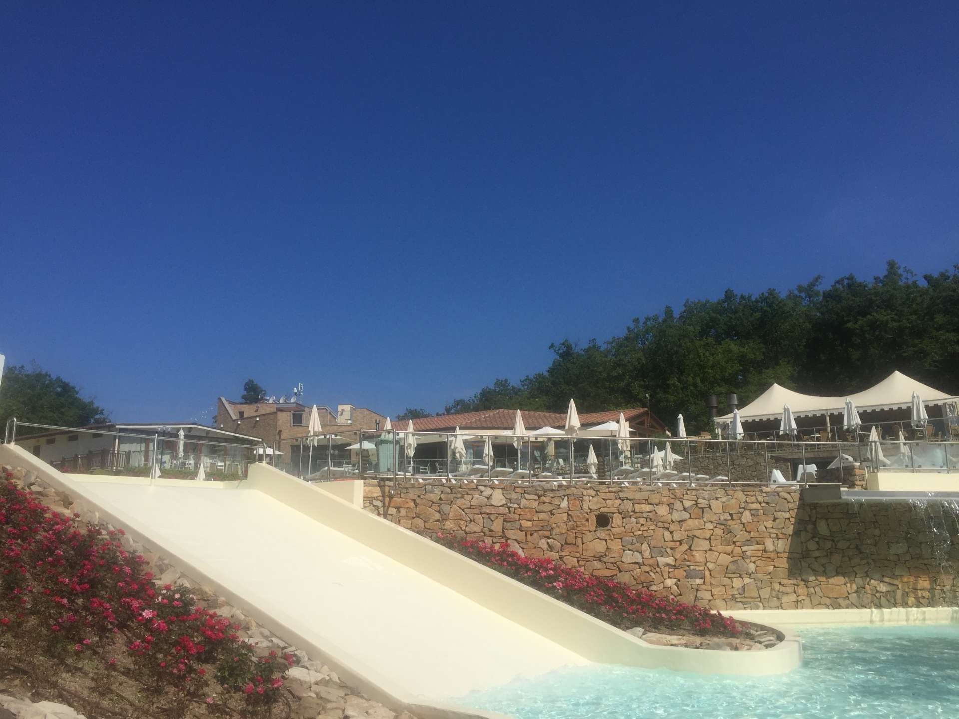
We are now in the middle of the Chianti area and the campsite is really great, and with our ACSI card we can stay here for €17. We have decided to take a day off here, 2 days of city tours are quite exhausting for everyone.
According to the reviews, the restaurant here is really good, so we have decided to have dinner here tonight.
I didn't realize how much I needed it at that moment, but more on that later.
The pool area is really nice, designed in terraces so that the kids can slide from the top with a water slide directly into the kids' pool. The children's playground is right across from our pitch, in the middle of a forest.
So breakfast and then to the pool 🏊. That was Tascha, Lotte and Constantin's plan. I initially wanted to go cycling, but decided to take a longer walk with Nala instead 🙈 due to the location. A look at the posted hiking map revealed the hiking route 1, 6.7 km long and with 273 meters of elevation gain to Castello Monte Domenichi.
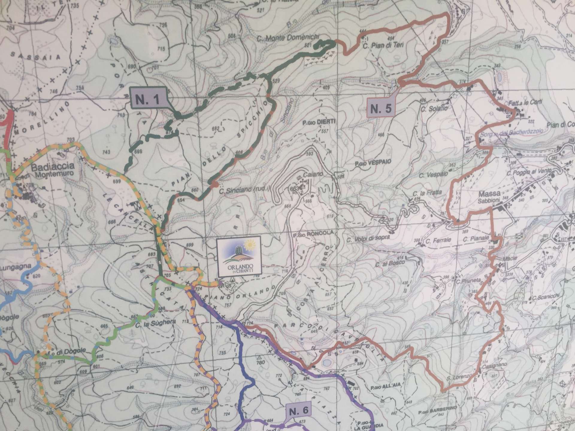
The trail is marked as 2.5 hours, which I thought was a great idea. 💡 I quickly informed Tascha about my plans and she insisted that I take the last remaining phone 📱 with me, just in case something happens 😤. Little did I know how important that phone would be on this day.
The trail to Castello sometimes resembled more of a climbing route, but it was steadily downhill. I already had the feeling that the way back would not be as relaxed.
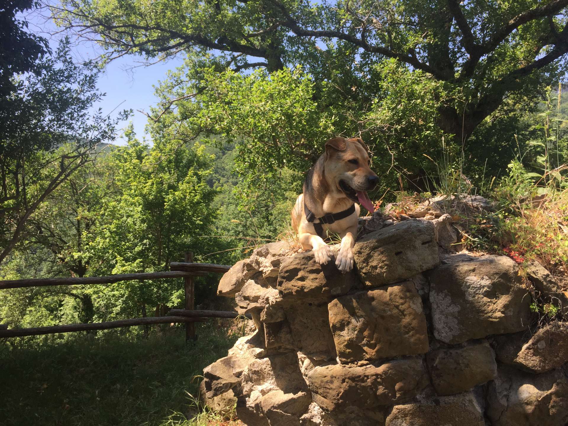
Arriving at Castello was really great, a little deserted castle ruin.
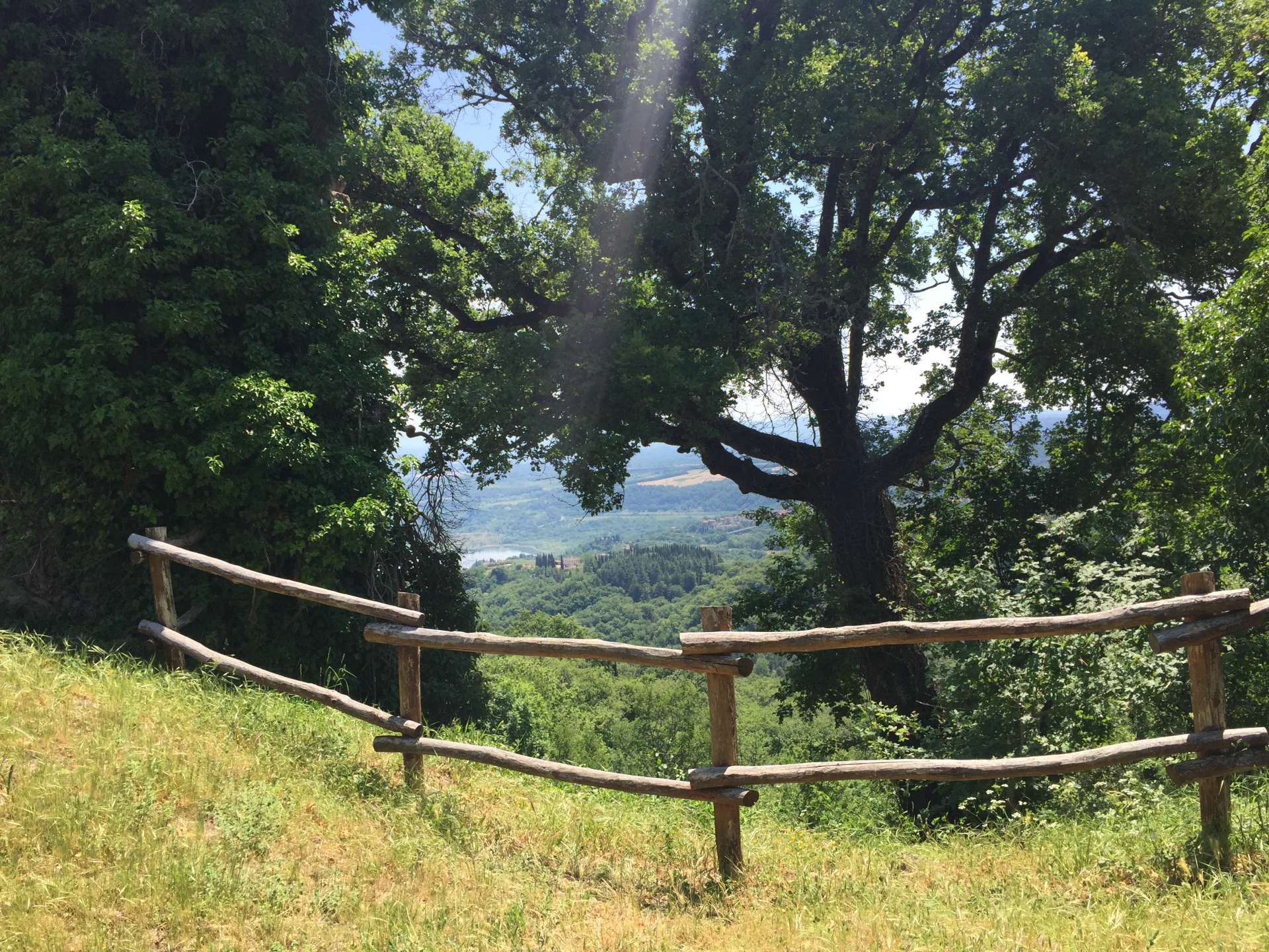

The way back: Well, somewhere along the line I must have taken a wrong turn, because the topography of the landscape no longer matched the path on the map. After 2 failed attempts to walk on small paths in what I thought was the right direction, I tried to roughly go in the direction of uphill and towards the cardinal direction 🚶. Now I just have to walk until I have mobile reception again. Because without it, I can't download GPS supported maps and I can't inform anyone either.
After a long walk and finally having reception, I found out that even google maps didn't know any paths at my location. Relief came when I switched from maps to satellite images and faintly saw paths in the forest. The second relief was at the same time that my cardinal direction and uphill method weren't so bad after all. I was only about 3.6 km away from the campsite, and after spending 4 hours in the midday sun at 33 degrees Celsius and covering 14.8 km with 720 meters of elevation gain, I finally returned to the site. From then on, it was just about going to the pool and cooling down.
Even Nala occasionally cooled off in a small creek.
After a few swimming and splashing around, we went out to eat 🥘 😊.
After this adventurous day, there is only one thing left to write.
Until tomorrow..........
Teken in op Nuusbrief
Antwoord (2)
Angelika
Da bin ich aber froh, daß du wieder "nach Hause" gefunden hast. Aber die Fotos sind traumhaft. Liebe Grüße an euch alle Angelika
Hallo mein Michelbub, wo ist dein nächster Bericht? Ich warte schon darauf! Liebe Grüße an euch alle!