The Wild Atlantic Way - eine Reise entlang der irischen Westküste
vakantio.de/the-wild-atlantic-way-die-irische-westkuste
Ceide Fields & Dún Briste
La daabacay: 09.01.2023

Ku biir Wargeysyada
17.06.2022
The Mayo Province
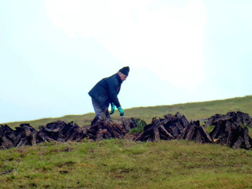
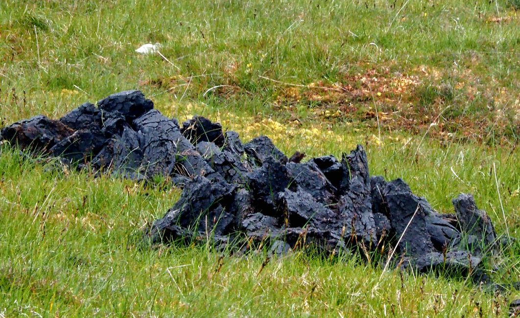
We set off shortly after 10am and stop at Ballycroy National Park. We gather some information and quickly continue. We are interested in the topic of peat, which is being extracted from the bogs on both sides of the road.

The woman at the visitor center explains that this is now only done on private land, as peat extraction is being phased out for well-known reasons.

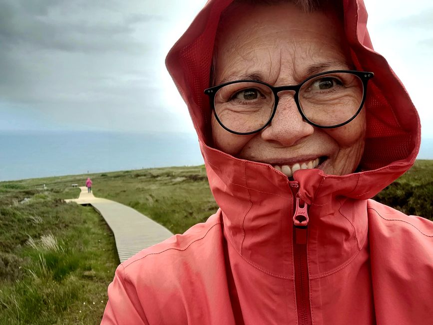
Tradition and national sentiment are difficult to reconcile in this regard. The reduction of the sheep population, which essentially "overgrazes" the land, also poses challenges. We take one last look at the landscape from the boardwalk behind the visitor center and quickly get back in the car.

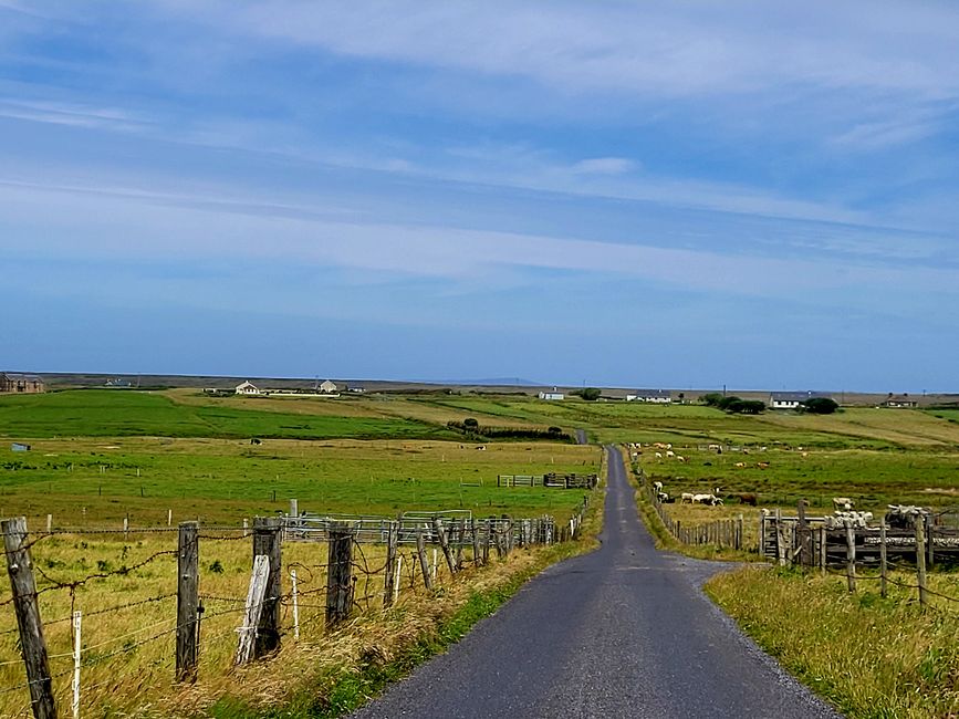
We turn off the main road and take a loop around a peninsula that seems almost uninhabited. The landscape here is rather flat and not very interesting, and it is probably one of the loneliest areas of Ireland. We turn left in Belmullet and follow the R313 road to another peninsula that juts out like a long finger into the Atlantic. At the end, there would be a lighthouse, but we are running out of time and settle for a stop at the beach halfway.

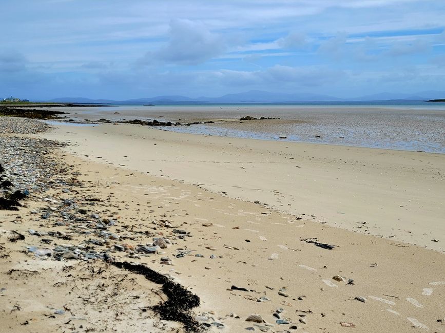
This beach is located at a very narrow point on the peninsula. Unfortunately, it is low tide right now, so the view is not very exciting. Nevertheless, I am once again surprised at how many beautiful and large beaches there are.
Ceide Fields
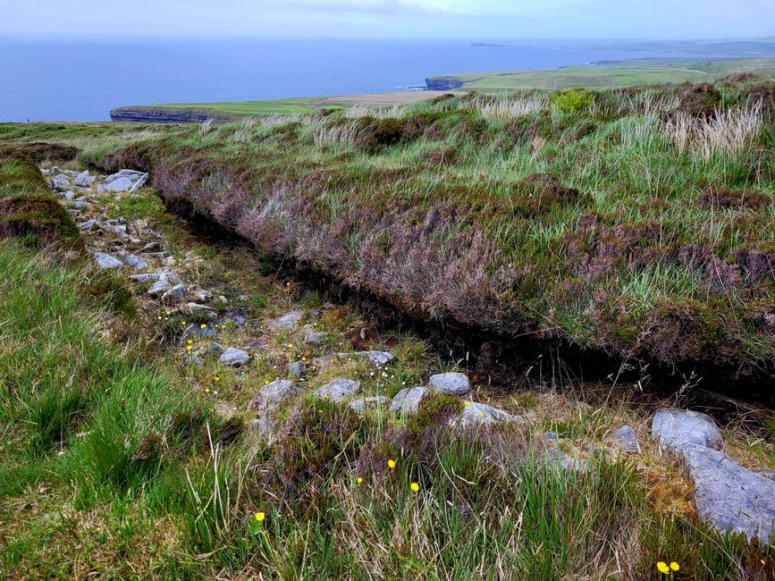
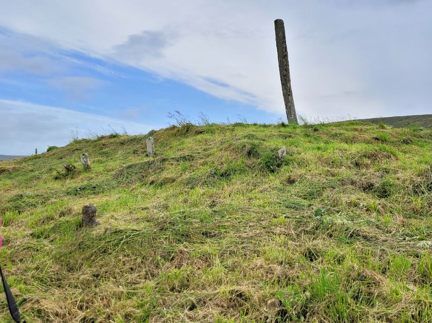
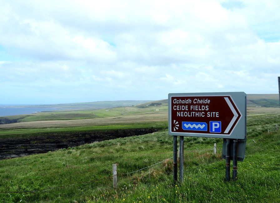
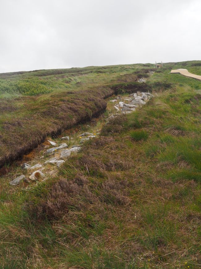
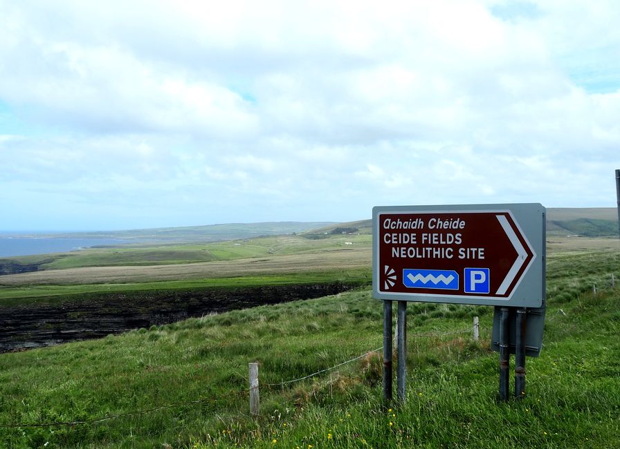
The stone formations from the Bronze Age were discovered here almost by chance. About 100km of stones were found during peat extraction and gradually uncovered.


The discovery of stones in the bog amazed the farmers, as peat consists only of compressed grasses, seeds, earth, and organic matter. The age of the stones was determined by analyzing them, as they were found above the underlying layer of peat.

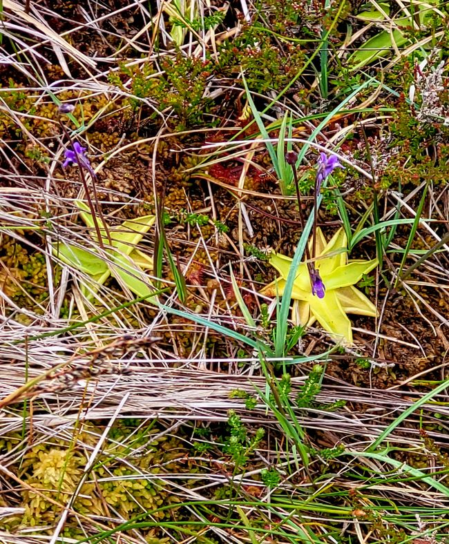
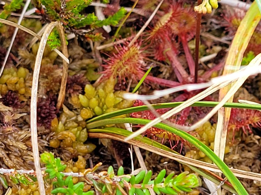
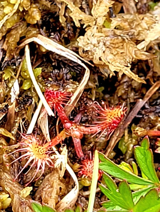
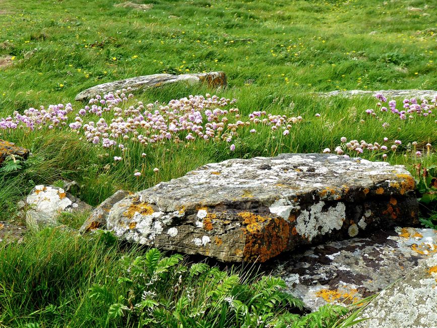
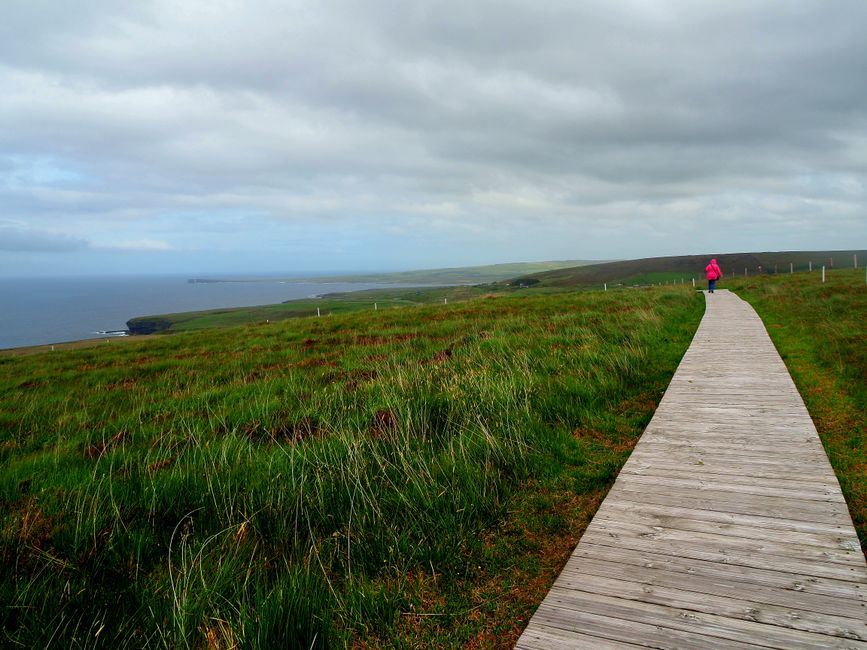
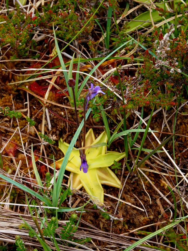
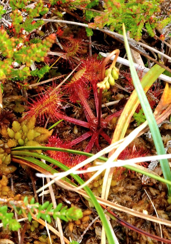
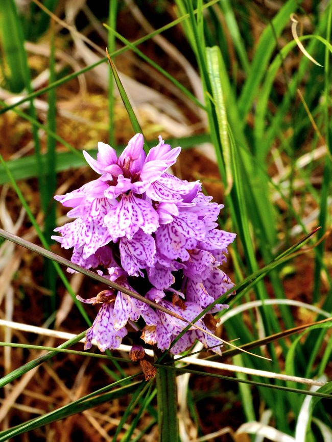
Ceide Fields is dedicated to the discoveries and history of the settlement, whose enclosure was found here. We walk along a boardwalk and also see carnivorous plants. One of them has a yellow, star-shaped leaf on the ground that is sticky and traps insects. Another red-brown plant that often grows right next to it captures insects with sticky tentacles. Inside the visitor center, there is an interesting exhibition about the history of the people who lived here about 5000 years ago and built walls around their settlement and through their village.


We take a look at the cliff on the other side of the road and then we can take off our caps and wind jackets again until we crawl around the Dun Briste rock.

Dún Briste - Downpatrick Head
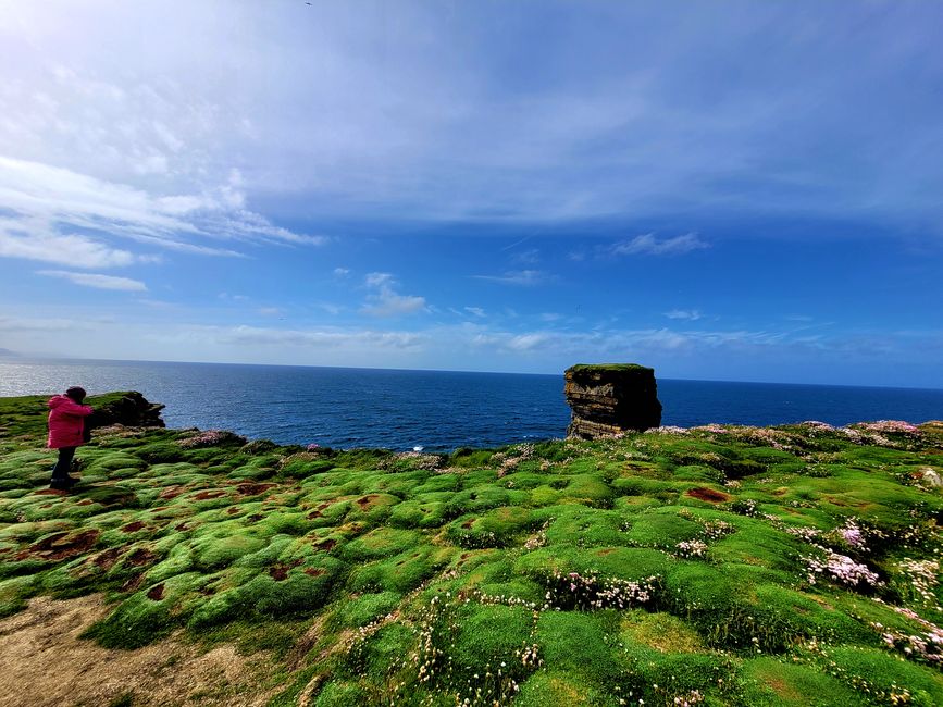
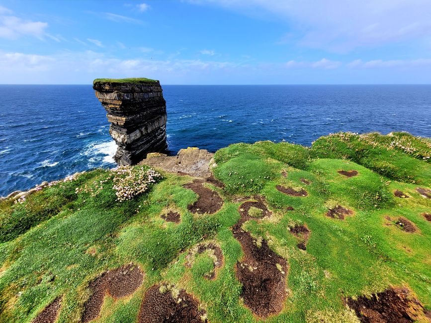
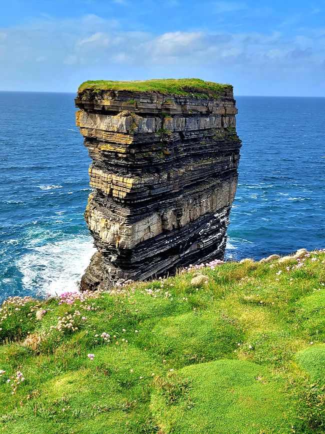
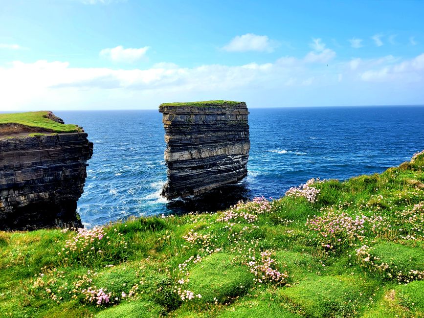
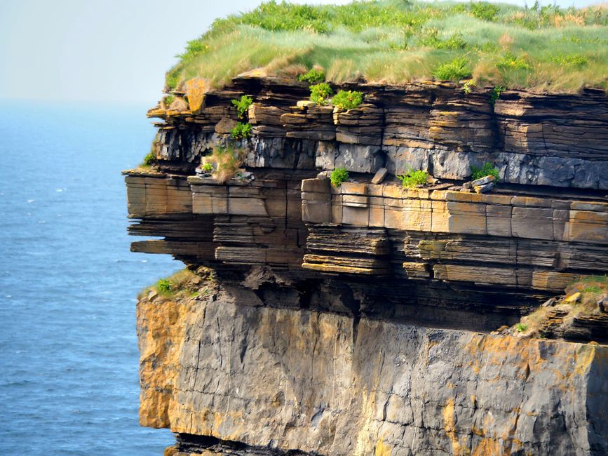
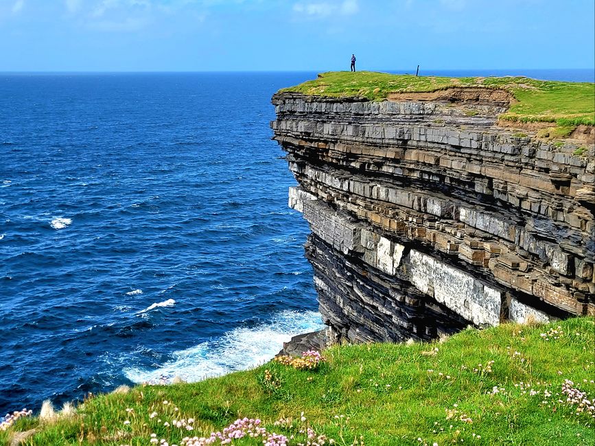
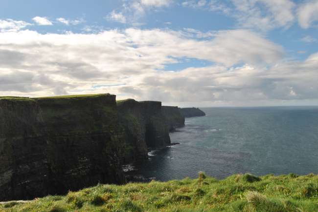
About 350 million years ago, this rock in the sea and the formerly connected cliff probably formed. The cliff stretches for over 200km with more or less high sections.

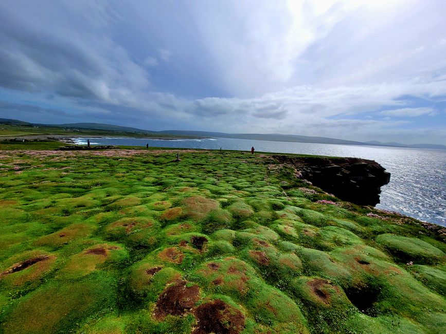
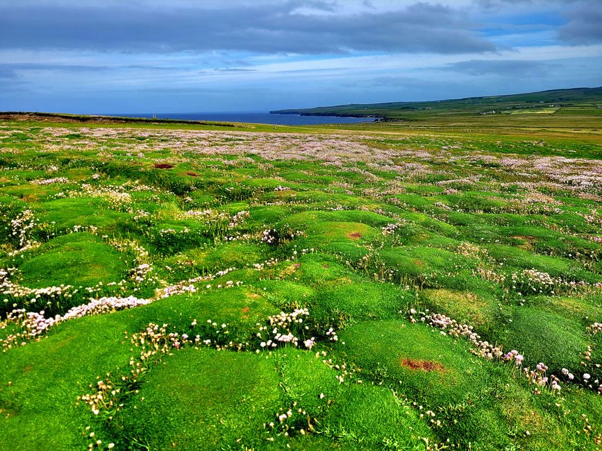
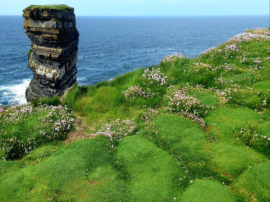
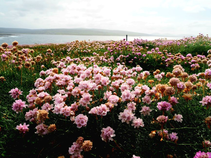
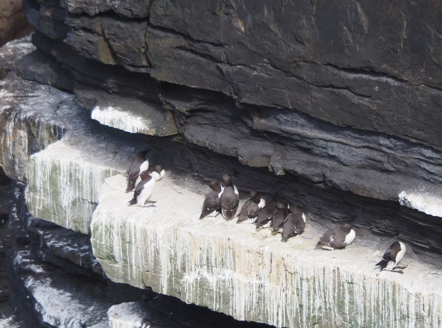
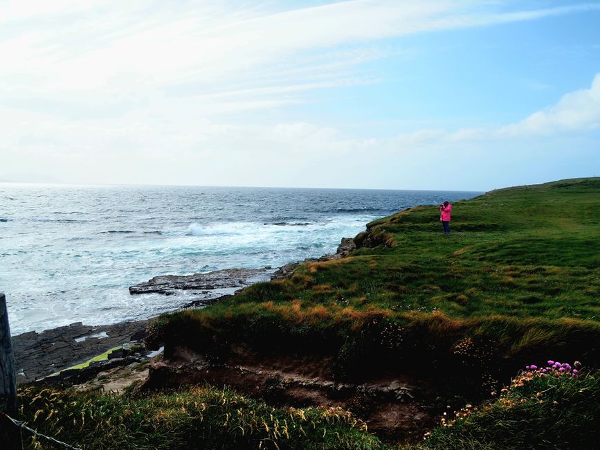
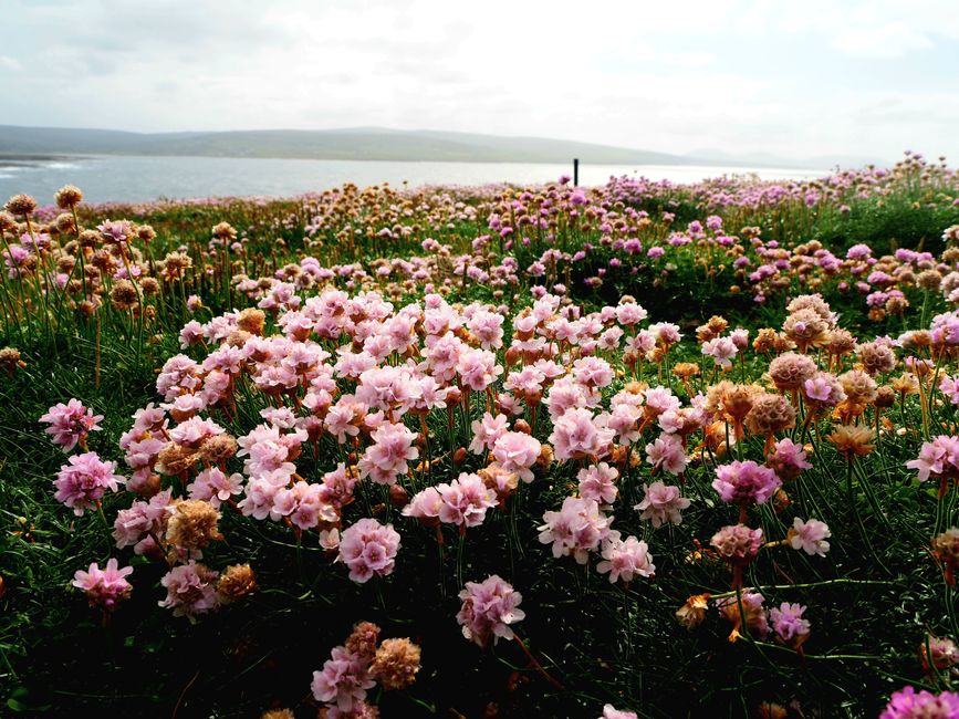
The Dún Briste is a 45m high freestanding rock that stands close to the coastline. There are plenty of seagulls flying around the rock or lying in the gaps between the layers of rock. We walk on a wonderful soft meadow with thousands of pink clover flowers to the edge of the cliff. The wind is roaring, but we are lucky that the sun is shining right now.


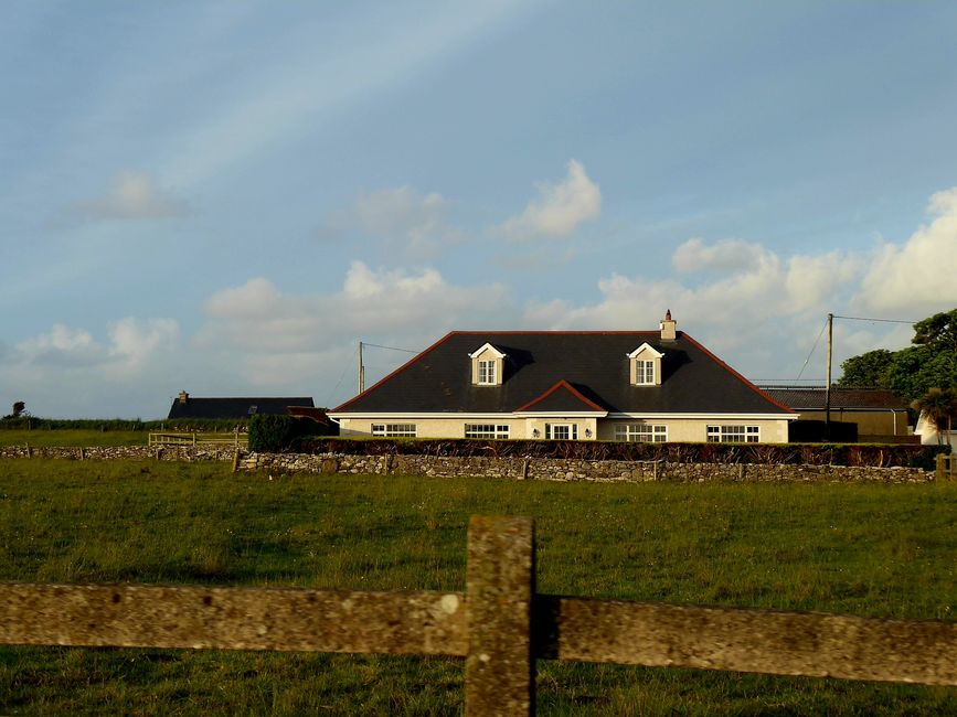
After a really long day with almost 250km of driving, we arrive at our accommodation around 6.30pm. This bed and breakfast is located in a secluded area about 5km from the town of Kilalla.


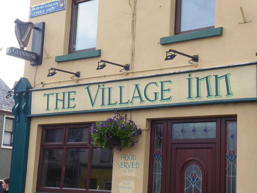
We are the only guests today. The house is great, as is the room. We immediately head back to Kilalla, eat something in a pub there, take a walk through the village, which has a remarkable round tower from the 7th century. The evening ends with the most beautiful sunset.

Ku biir Wargeysyada
Jawaab
Warbixinaha safarka Ireland
