Stage 6: Schlegeis Reservoir - Kematen
បោះពុម្ពផ្សាយ: 17.07.2017
ជាវសំបុត្រព័ត៌មាន
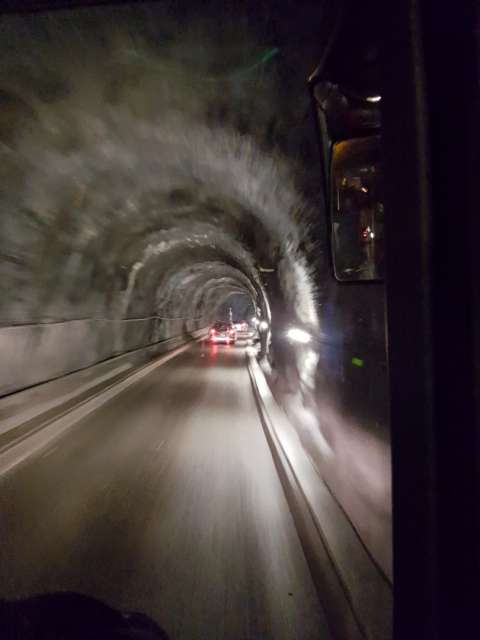
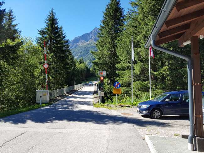
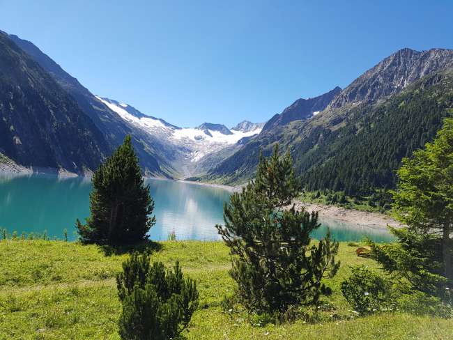
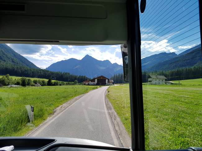
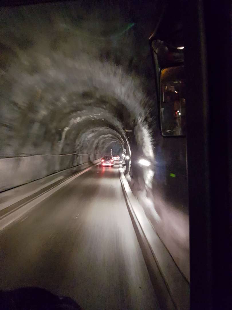
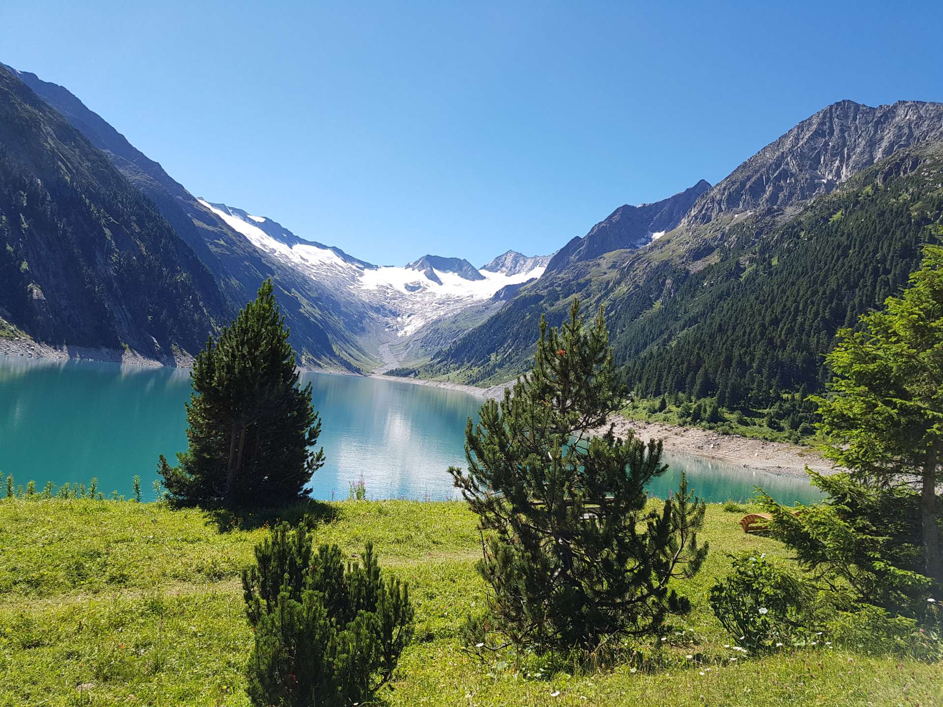
Today, under a cloudless sky, we first took the public bus to the Schlegeis Reservoir at an altitude of 1805 meters. On the way there, we passed through some single-lane tunnels and a toll station to be able to drive all the way up.

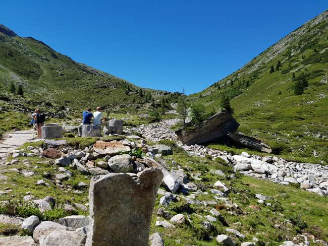
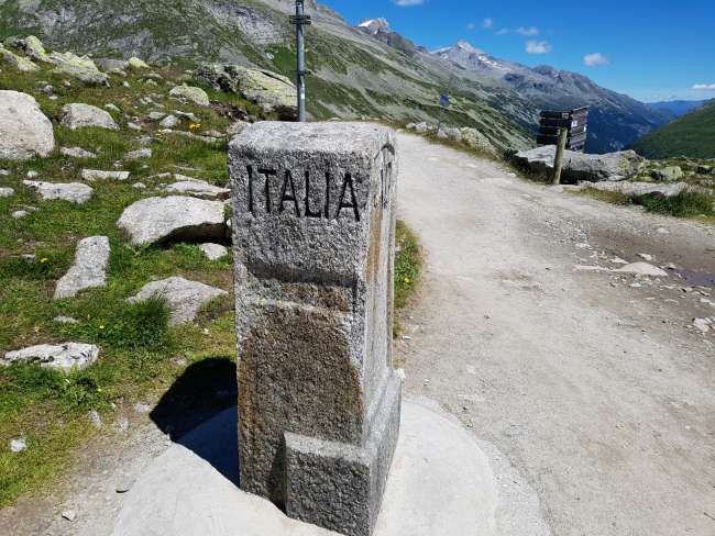
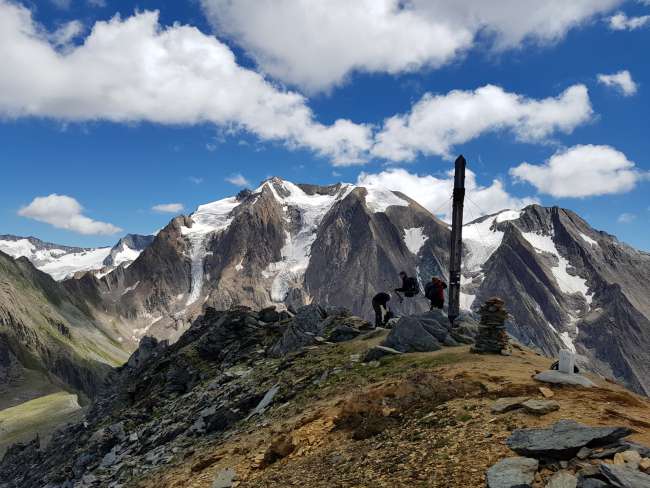
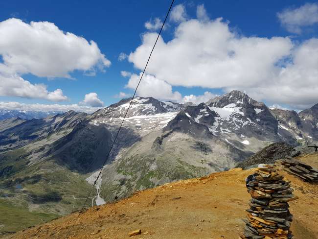
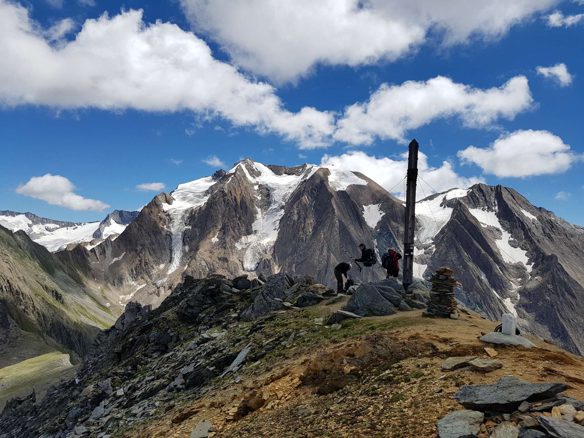
Once we arrived at the top, we could immediately admire the reservoir and the surrounding mountains. Around half past ten, we set off from the reservoir towards the main Alpine ridge and the border with Italy. So far, this was the busiest section of the hike, with a gentle ascent taking about 90 minutes to reach an altitude of 2248 meters. This is where the national border was also located. All around, we could see several 3000-meter peaks with their patches of snow.

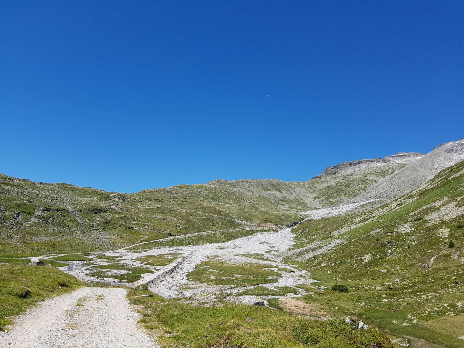

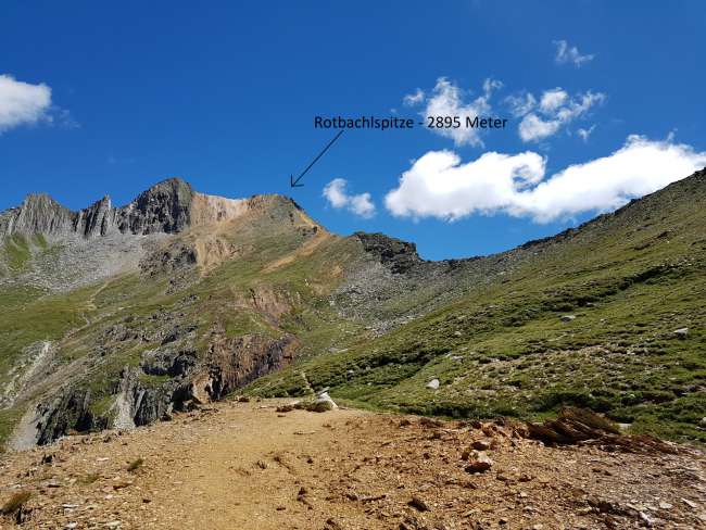
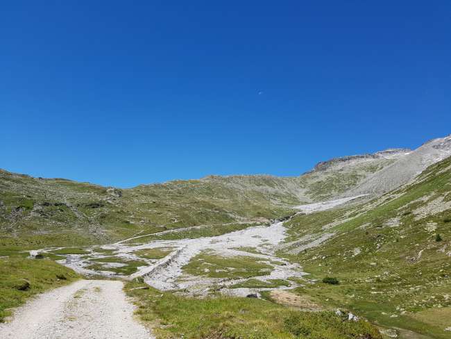
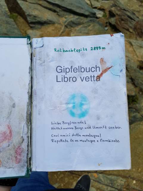
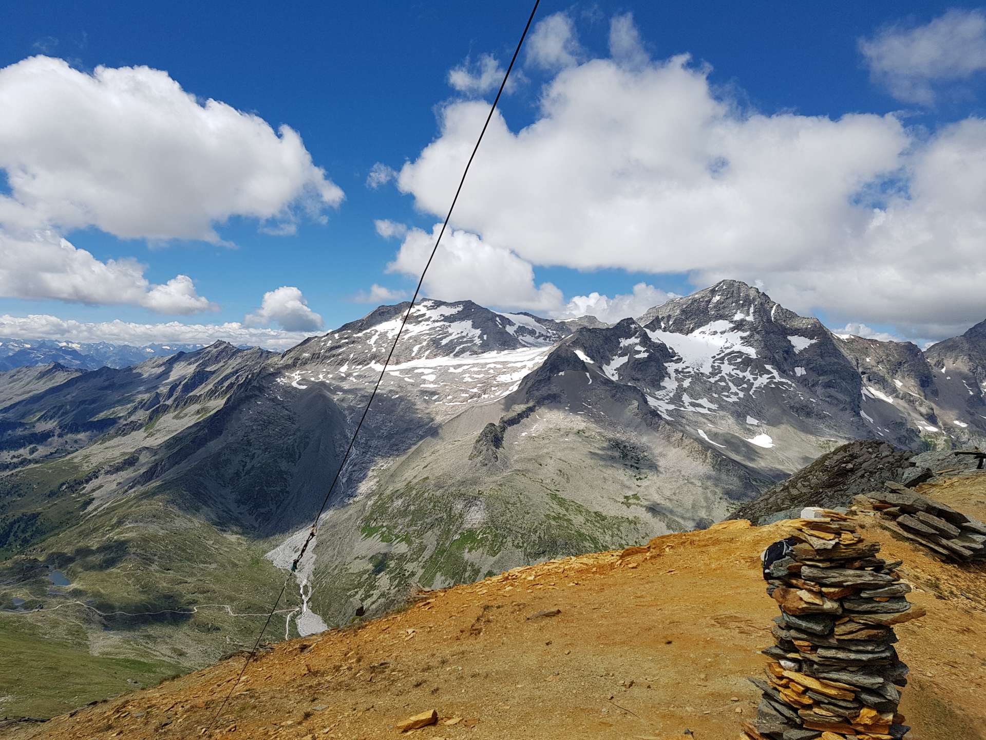
Yesterday, during dinner, we learned that there was an opportunity to hike up to the Rotbachelspitze, which stands at nearly 2900 meters. Although it appeared to be a short hike on the map, the mountain turned out to be quite challenging when we reached the junction, just by looking up.
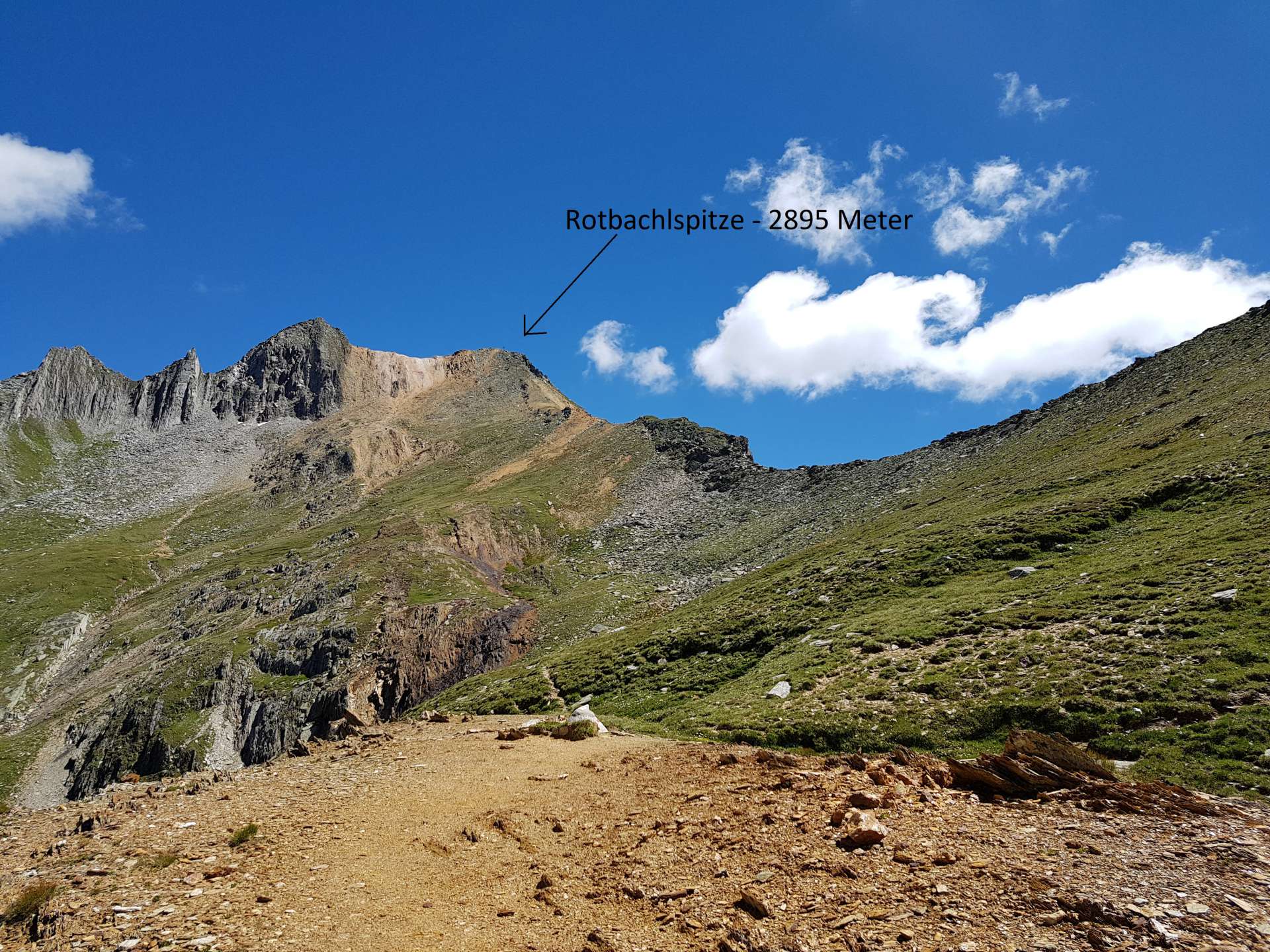
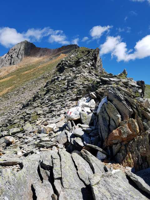
(this picture was taken after about a quarter of the way up, strangely I didn't take any pictures in that direction at the bottom)
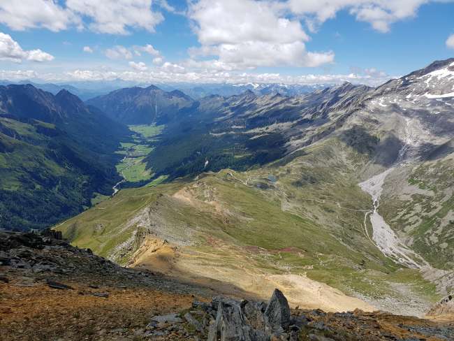
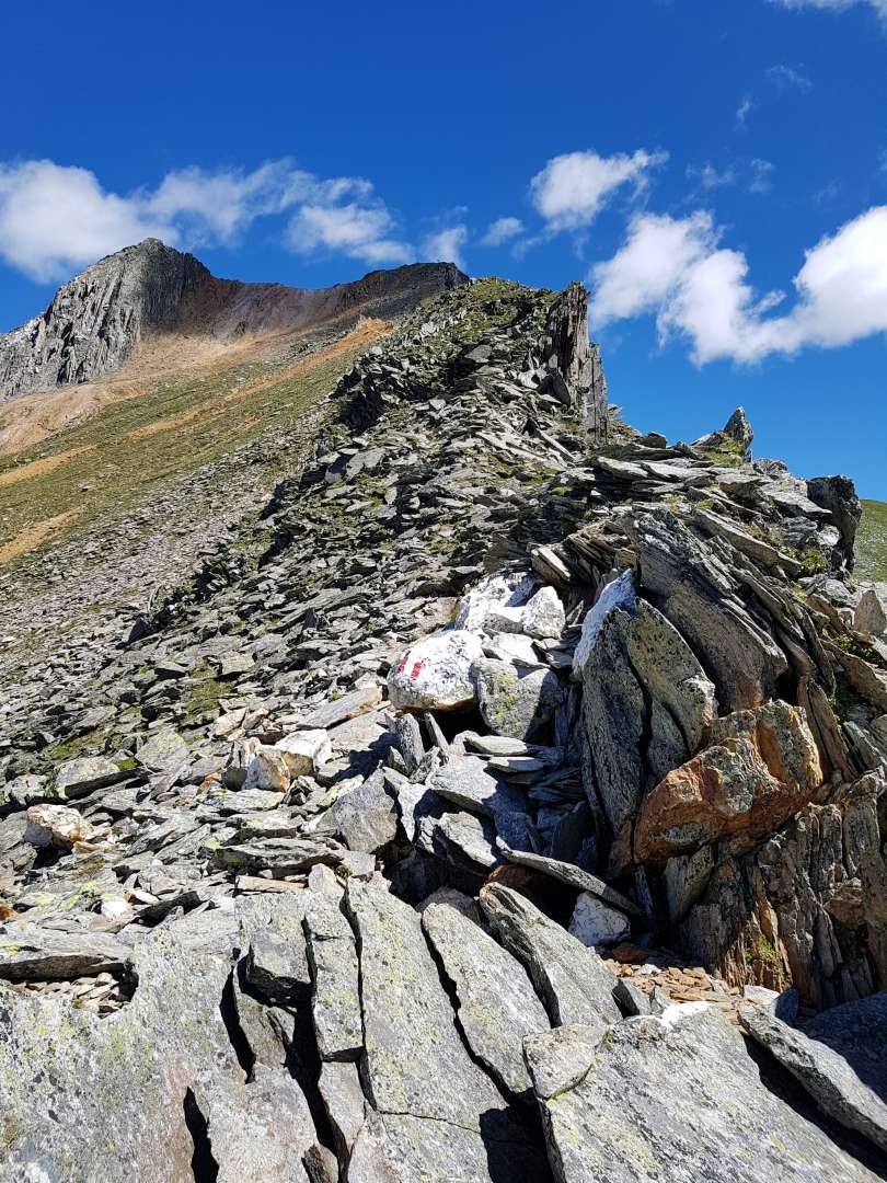
Nevertheless, I decided to embark on the approximately two-hour ascent, which was truly demanding. There were sections where you had to climb over rocks, and towards the end, it became really steep, necessitating a brief rest every few meters.



ជាវសំបុត្រព័ត៌មាន
ចម្លើយ
របាយការណ៍ធ្វើដំណើរ ប្រទេសអ៊ីតាលី

